
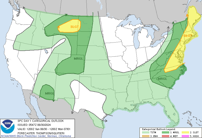
A low centered about over Lake Michigan is bringing Bowling Green area much of the Mid-South some rain and thundershowers this morning. Indications from the SPC, yesterday, showed a Slight Risk for severe weather, but in accordance with some of the latest model runs, that threat has been shifted more toward the east, with Bowling Green and places to the west and immediately to the east of I-65 not really expecting to see the greatest amount of convection, as these areas are on the far western extent of the risk area.
Most indications show that this event is going to be a rather marginal one. Any severe weather that happens is likely going to be of an isolated variety. The one major factor that this event has going for it is some pretty good dynamics. There is a rather interesting jet streak starting at the Bread Basket and moving through the Corn and Rust Belts of the United States with pockets of wind reaching 100 kt. There is also a decent amount of moisture that is present as well, and that will continue to be the case throughout the day, with current precipitable water numbers hovering between 1.4 and 1.7 inches. Where the skepticism lies is in the fact that none of the models or any other indications show that there will be any decent amount of CAPE present, today (amounts struggling to reach 1000 kg^-1). Lifted Indices look a little better, with indices reaching -5 in areas. All in all, it is likely that the heaviest activity is going to be into the eastern half of Kentucky this afternoon, and even that will be rather limited. The cold front is expected to pass through by mid-afternoon, thus not allowing for most of the necessary diurnal heating to take place. Clouds are expected for much of the day, as well; so that will be another limiting factor for diurnal heating. Both the NAM and the GFS are indicating a warm day, with the GFS expecting a high of 91. The NAM seems to be more of a realistic choice, expecting a high of 87. With the cloud cover and rain, today, that is a very reasonable forecast. Concerning precip. amounts: no more than a tenth of an inch should be expected unless a thunderstorm passes over.
Tonight, things will begin to dry out and cool off, still some clouds, a north wind and a low reaching 57.
Once the front moves through today, things will dry out and cool off, if only for one day, with Friday looking to be mainly clear with a high only of 83.
Saturday, things heat up again as the wind shifts to the east and mainly clear conditions continue. A high of 89 can be expected.