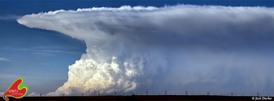
Our morning forecast discussion identified an enhanced kink in probable dryline formation that formed an axis between the western Panhandle regions into the central Texas Panhandle. Model data suggested caps would break around 1-2 pm in Colorado and storms would slide down the dryline into the Panhandles, where a more favorable environment for tornadic supercells existed. We decided to target the western Oklahoma Panhandle to start our day, and left our hotel in Yukon, OK at 9:45 CST.
While on the road, 18Z model data indicated a consensus on the placement and timing of initiation, which strengthened our confidence. However, it also brought signs of a less conducive environment in the Panhandles. Low level moisture and shear variables began looking meek, but we persevered! The SPC issued a Severe Thunderstorm Watch at 2:35 CST for the entire Panhandle region.
We intercepted a supercell at 3:50pm CST in Kenton, OK that had just crossed the border from Colorado (Figure 1). Rotation was evident in the supercell on radar, and it was already associated with a Severe Thunderstorm Warning. We followed the storm further south and east and stopped to view the storm just east of Felt, OK. While photographing the storm, several students pointed out what looked to be a large tube that reached from cloud to ground, but was not in the textbook location for a tornado. None of us, including professors, were sure until it was reported by the NWS as an ongoing tornado (Figure 2). Sure enough, soon after we learned it was a tornado, the funnel roped away and dissolved.
We attempted to chase the tornadic supercell further, but road conditions deteriorated quickly and were becoming unsafe. We opted to chase a sister storm to the west instead. This storm’s mesocyclone was less organized than he first, but as we chased, we witnessed a large funnel attempt to touch down west of Dalhart, TX. However, we never saw the funnel actually contact the ground, although it was a tornado-warned storm.
The Dalhart cell began to split, but instead of forming two opposite-spinning storms, the split produced two cyclonic right-moving storms. We opted to follow the western storm and got an excellent look at its structure in Hartley, TX (Figure 3). We decided to get a closer look, but as we approached, we were assaulted with penny to nickel sized hail in Channing, TX and had to leave the area. We stayed ahead of that storm until we reached Amarillo and took some excellent structure photos as the sun set (Figure 4). After, as is tradition, we enjoyed some fantastic steak at the Big Texan Steak Ranch in Amarillo, and packed into the hotel for the night.
Tomorrow looks as if we will be heading into Deep South Texas to chase, so stay updated!
-Isaac Bowers


Wonderful photos and the text is educational!