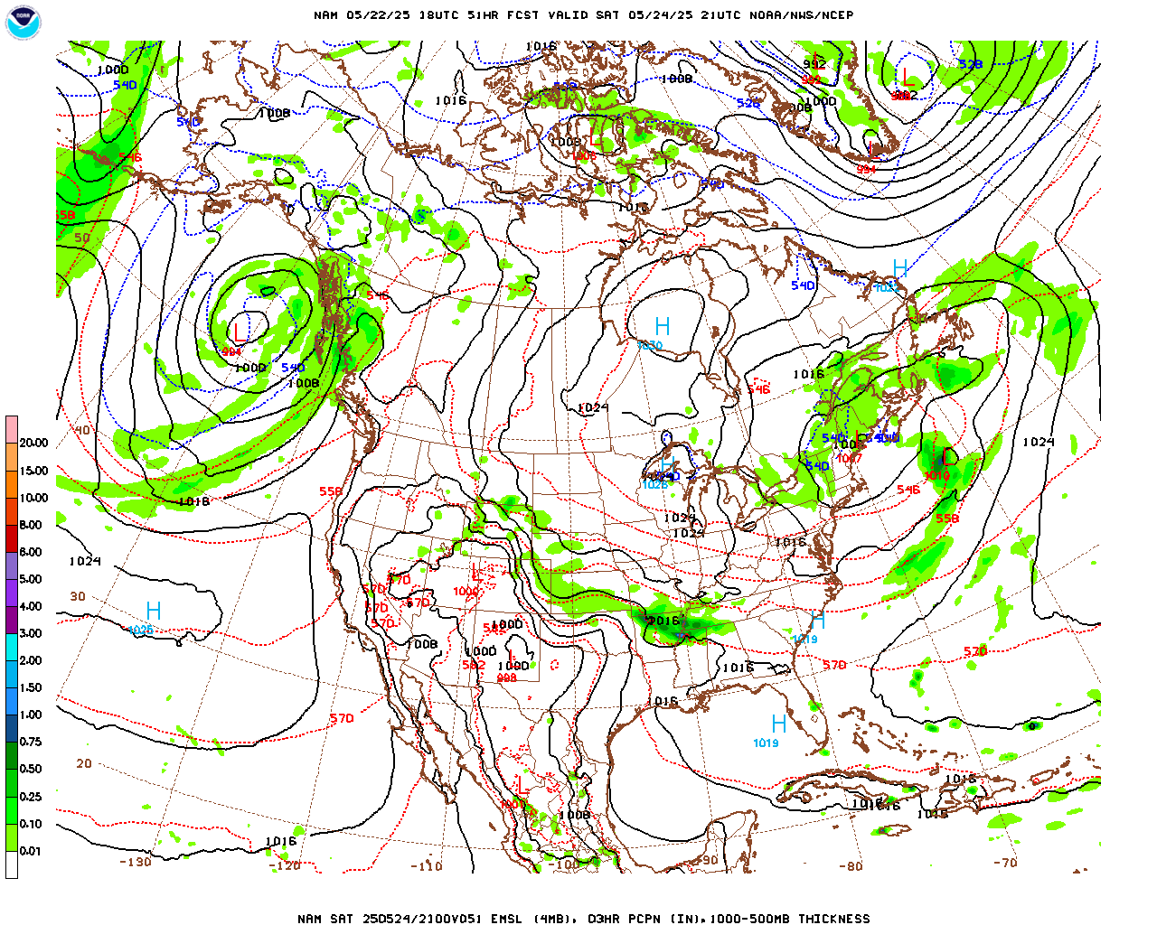
The cold front that pushed through the region this weekend brought relief from the warm, humid, summer temperatures that we had been experiencing for the last few weeks. The current temperature map shows temperatures across the nation are much cooler in the northeast and trending warmer along the central plains region.
We saw a high of 77 degrees today, according to the Kentucky Mesonet. Temperatures will increase throughout the week as we have winds becoming more southwesterly, bringing warmer air. Even with this temporary warm-up, we will only see temperatures in the mid 80s for the early part of the week. A low pressure system will begin to develop in the central U.S. on Tuesday and this will bring us even cooler temperatures later on in the week.

As of result of this low pressure system, a cold front will begin forming and making its way into our area Wednesday night into Thursday. Until then, enjoy the sunny skies and gorgeous weather as we begin our transition into Fall!
Bowling Green’s 3 Day Forecast:
- Tonight: Mostly clear skies, low of 59 with a light north wind.
- Monday: Sunny, high of 82, light north winds in the afternoon.
- Monday Night: Mostly clear skies, low around 61, light north winds.
- Tuesday: Mostly sunny skies, high near 85. Light south winds in the afternoon.
- Tuesday Night: Partly cloudy skies, low around 68. Light south winds.
- Wednesday: Partly sunny, with a high near 87. South winds.
- Wednesday Night: Showers and thunderstorms likely with a 60% chance of rain. Mostly cloudy skies, with a low around 71.

