
A very potent winter storm will bring widespread 6″ plus snowfall to the same places that have seen quite a bit of snow the past two winters. The heaviest accumulations from this storm should approach 10″ on an axis from Springfield, MO to Detroit, MI. Synoptically, this storm has a lot of similarities to the March 20, 1996 storm that brought 8-14″ to southern IN.
Here is a link to an analysis of the March 20, 1996 storm from the Louisville NWS office. The primary similarities between the two storms lies in the fact that both have a closed-off 500 mb low with negative tilt and a rapidly deepening surface low. The GFS for Thursday evening shows that both storms also have the “S-curve” shape of the 540 dm line and the 0C line at 850 mb that are signatures of a negatively tilted system. The major differences between the storms lies in the fact that the SE ridge has created a more SW-NE jet streak for the current storm, which will help to force the current storm a few hundred miles NW of the surface track of the 3/20/1996 storm. This of course, will push all accumulating snows into central Indiana and continue the snowless streak for south-central KY. The other big difference between the storms is that the current storm has the surface low deepening from 1012 mb to around 1000 mb while the 1996 storm went from 1003 mb to 988 mb. The more limited dynamical lifting with the current storm will help to limit snow totals to around 10″.
I think there could be some wrap-around snowfall in the Bluegrass as depicted on the 48 hr GFS, but accumulations will be meager at best.
A warm up is in store for the Mid-South for the weekend as a broad trough over the SW brings mild air into the region. The next system will dig into the SW early next week and accordingly, I would expect warm advection showers to be possible on Monday. The system should bring more rain and mild weather (highs in the low 60s) to KY early next week before the associated cold front drops things back to normal.
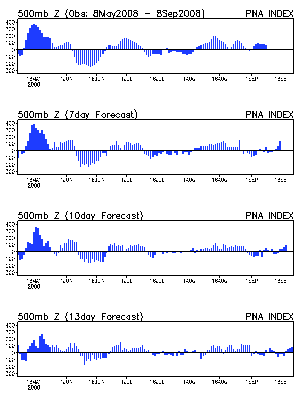
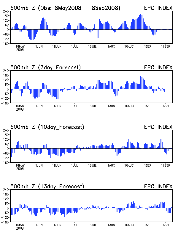
The mid-week storm should mark the end of the southern stream activity for a while as a zonal flow sets up for the 2nd week of February. All major teleconnection indices suggest that this period should be mild for the Mid-South, as is commonly the case with the combination of a negative PNA and positive EPO.