HIghlights
– Continued Cool Temperatures
– Rain Chances Tues into Wed
– Warm up expected next weekend
Forecast Discussion
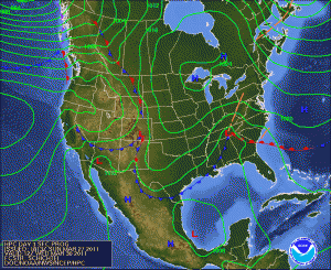
Currently the upper level impusle that affected our weather last night is moving out of our area. Sky’s should begin clearing today as this impusle quickly moves east. Today looks drier, however still cool, with highs near the 50 degree mark. Tonight will also be dry as Bowling Green is on the edge of ridge of receding surface high pressure. It will again be a chilly night with low termperatrues of around 33. The next system that will affect our sensible weather should be in the form of a low pressure system that will be forming in western Texas. A trough of low pressure should begin to enter our area on Tues. increasing rain chances, with the more constant precipitation occuring on Tuesday night. This rain shouldnt be terribly heavy, however cooler temperatures on Tues night may support a mix of rain and snow well north of our area. This will not affect Bowling Green, and even areas well north of here would have a minimum impact as ground temps are too warm in late March. Temps on Tues should reach in the Mid 50s with rain chances increasing throughout the day.Tues night will be all rain for us with a low around 38. Rain chances dwindle on Wed, but temperatures will remain cool, with a high around 47 under cloudy skies. The weather will remain cool, with a warm up expected late this weekend.