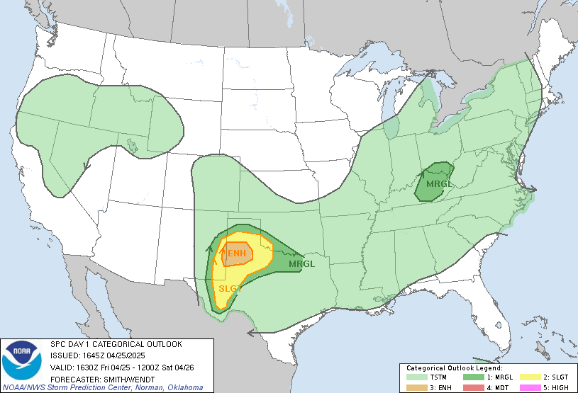
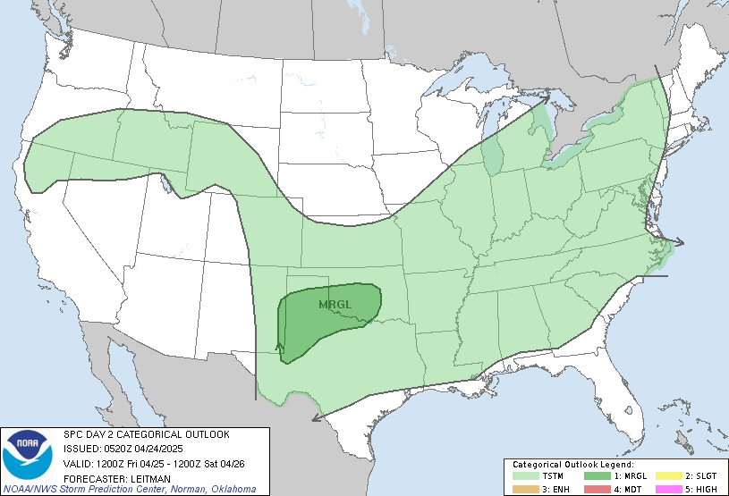
1. A cold front is approaching the region today with this front moving in and being along the edge of a summertime ridge bringing north a warm front clusters of thunderstorms will likely develop late tonight and last through Tuesday. Unlike past events this month more instability will be in place similar to June as the pattern once again favors the development of mcs thunderstorm complexes near the fronts in addition to scattered heating of the day storms. Also with multiple fronts in the region shear and helcity values will be slightly higher increasing the threat for an isolated tornado or two in the region. However the usual suspects with mcs’s gusty winds, small hail and hvy rains are most likely in terms of severe weather. The timing of thunderstorms is still uncertain however we’ll have to watch for a mcs to form tonight to our west and move into the region overnight and Monday morning with another mcs threat Tuesday morning. Highs should be in the mid to upper 80′s Monday and Tuesday with lows in the 60′s.
spc outlooks
Late Sunday


I’ll update as needed over the next few days with thoughts, watches and warnings.
radar


from the nws…
AT 727 PM CDT…NATIONAL WEATHER SERVICE DOPPLER RADAR WAS TRACKING A
STRONG THUNDERSTORM NEAR BOWLING GREEN…AND MOVING NORTHEAST AT 30
MPH.
FREQUENT CLOUD TO GROUND LIGHTNING…HEAVY RAIN WITH RAINFALL RATES
OF AROUND ONE INCH PER HOUR REDUCING VISIBILITIES TO LESS THAN ONE
MILE…AND GUSTY WINDS OF AROUND 35 TO 40 MPH…ARE EXPECTED WITH
THIS STORM.
THIS STORM WILL ALSO IMPACT…
BROWNSVILLE…