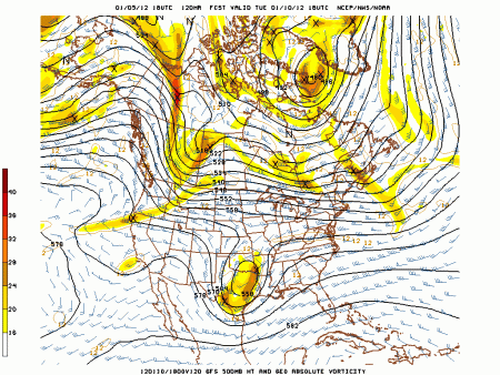
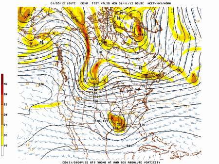
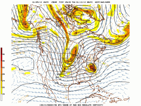
Looking ahead we have a system of interest for the middle of next week. I feel fairly confident in another closed low moving into the region by the middle of the week. At the same time a blast of arctic air will move into the plains from the northern branch of the Jet. Main question is can these phase and can a phased system take a favorable track for snow?
The answer is not likely.
The ECMWF has The closed low cut to our west then really doesn;t phase the branches. The result is mid week rain to flurries. The graphic is to big to post.
http://mitchg.wordpress.com/12z-euro-model-images/
The GFS really doesn’t phase either.
Take a note of the diving 500 mb trough into the plains and the closed vort max over the south
Timeframe of 500 mb images is Tuesday though Thursday of next week.
For snow in our region from this we would need the northern trough and closed low to phase in the south then the low to track just east of the Appalachians and north. I really don’t see this occurring. Though once again some snow flurries and snow show showers could occur on the backside.
Late next week I think the arctic blast is quick once again and we begin a back and forth pattern which overall averages slightly above normal.
Now on to the Debate part of the post. A look at some of the long GFS products show a major pattern change,
first take a look at a crashing AO
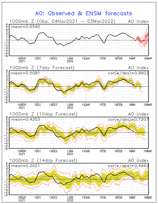
Note how it’s + all winter so far. It was strongly – for the last two winters.
More stratospheric warming as well.
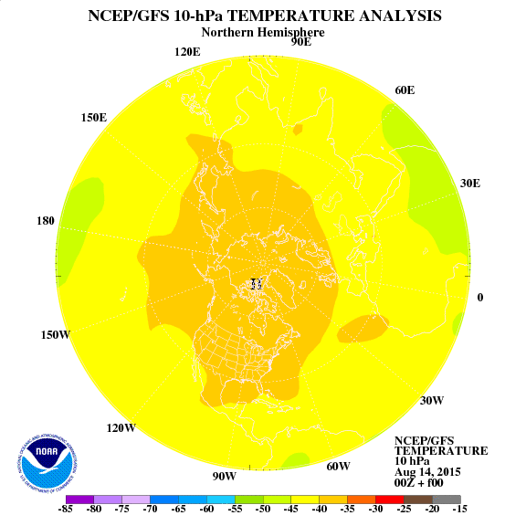
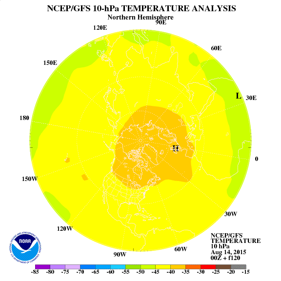
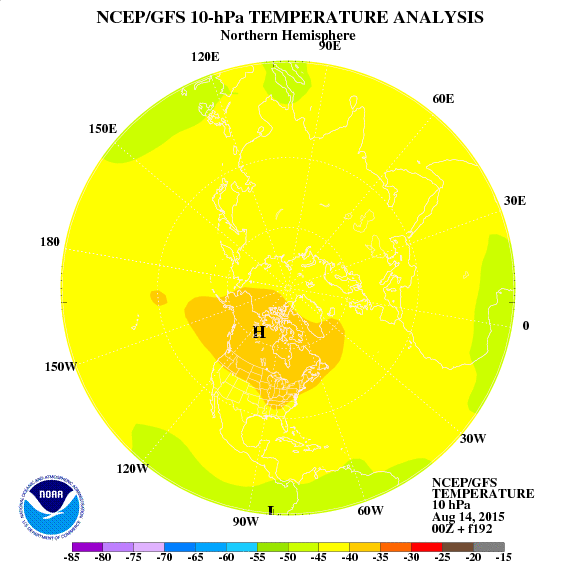
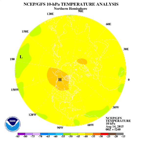
The stratospheric warming episode is about a week away plus a few weeks lag time for it to influence our weather pattern. So far each warming episode has corresponded to a nice quick shot of cold. Following these images from the GFS 10 mb shows another warming episode ( current to day 10) which could influence the pattern toward the end of the month. I also like the look of the cold anomoly, one more warming episode after this could get rid of it, in which case February could be cold such as 1971-72.
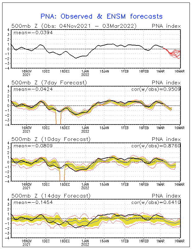
However the euro Weekly forecast out tonight indicates a return of the blowtorch by the end of the month. This long range model indicates well above normal temperatures after the 20th, untill then it goes back and forth. Remember it was overdone on the warmth for week 2 of Jan and missed the last cold shot. The state of the PNA supports the ECMWF long range. A – PNA supports a southeast ridge.
A trough moves through on the 12th I suppose there is chance of light snow which could be measurable but it’s unlikely forat this time. With nothing coming quickly after that odds favor making to the halfway point of meteorological winter without a measurable snowfall.
Lexington, KY has a shot at some snowless records
The record for the latest measurable snow in a season at Lexington was January 30th of 1932. Once again this winter only 2.1 inches of snow at Lexington and if the pattern goes the way of the ECMWF weekly model we have a great shot to set a mark that is lower than this for seasonal snow. Once again 1956-57 and 1971-72 are the only years in my analog package form the orignal winter forecast that remain and both are on the least snowiest years list for the region.
I’m already starting to look at next winter. Right now it looks like snow and cold fans will be jumping for joy next winter with heavy hitting analogs in terms of snow and cold as el-nino returns within a cold PDO. However still a year off. Many many things could still influence that line of thinking.

