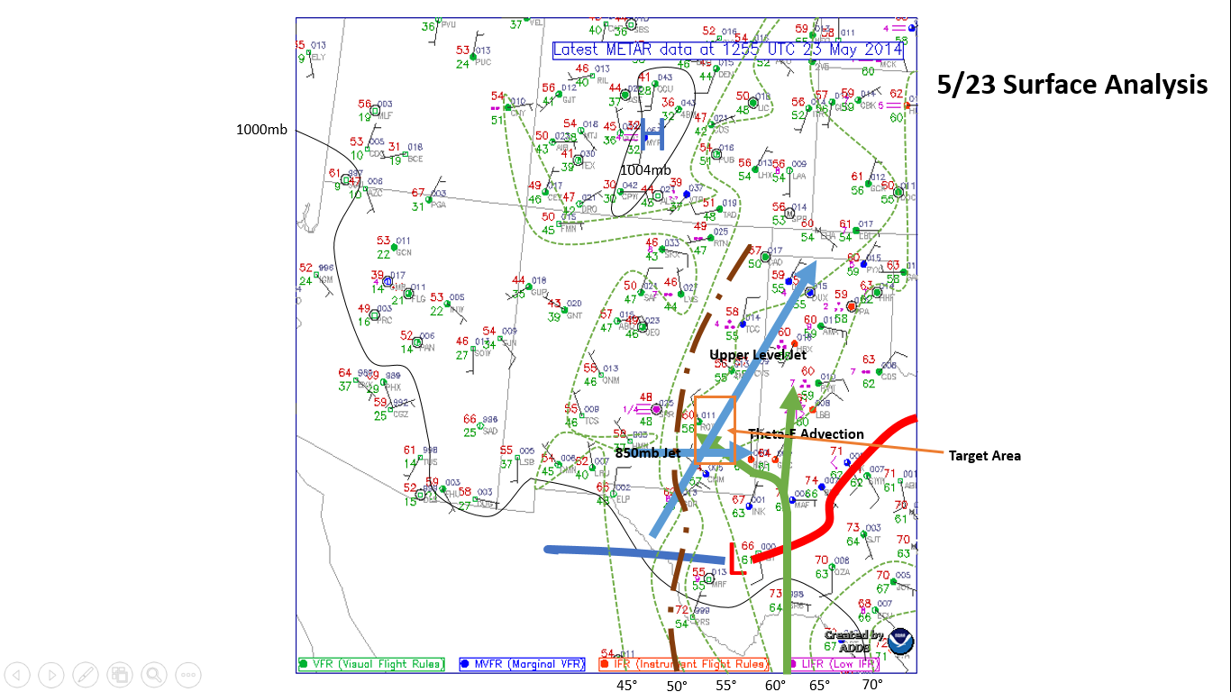
Today we woke up in Amarillo, Texas this morning and departed south at 9AM to our target area of Carlsbad, New Mexico. Here is a picture of this morning’s surface analysis.
We drove through some areas of rain in the Texas Panhandle which is very rare. Most areas in the Panhandle average about a third of the annual precipitation that Bowling Green receives and over the past few years this has been a drought stricken area, so the rains were very beneficial there. After stopping for gas, we decided it might be time for the storm chase baby to get a new mustache.
By midday, we were under clear skies heading south through New Mexico. After having lunch in Lovington, New Mexico a few cells popped up near Eunice, New Mexico. These thunderstorms were not long lived and were pulsing up and diminishing quickly. After about an hour and a half of watching the cells, one got its act together and produced a severe thunderstorm warning for some hail.
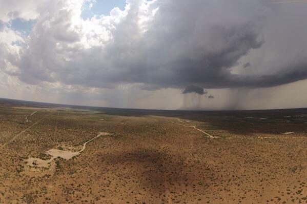
Here is a picture of the thunderstorm, and you can clearly see the precipitation falling, where the area shaded with a lighter color is actually hail falling from the storm.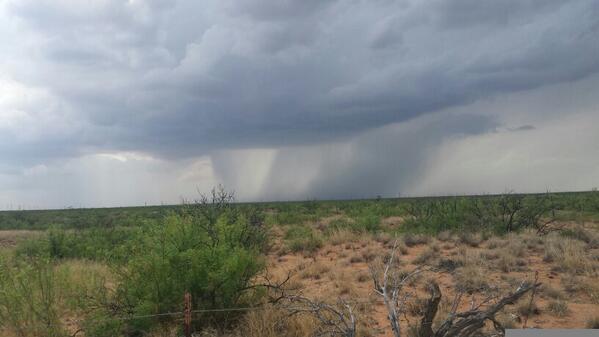
One interesting phenomena with this storm was observing the cirrus clouds higher up in the atmosphere rippling out ahead of the cell.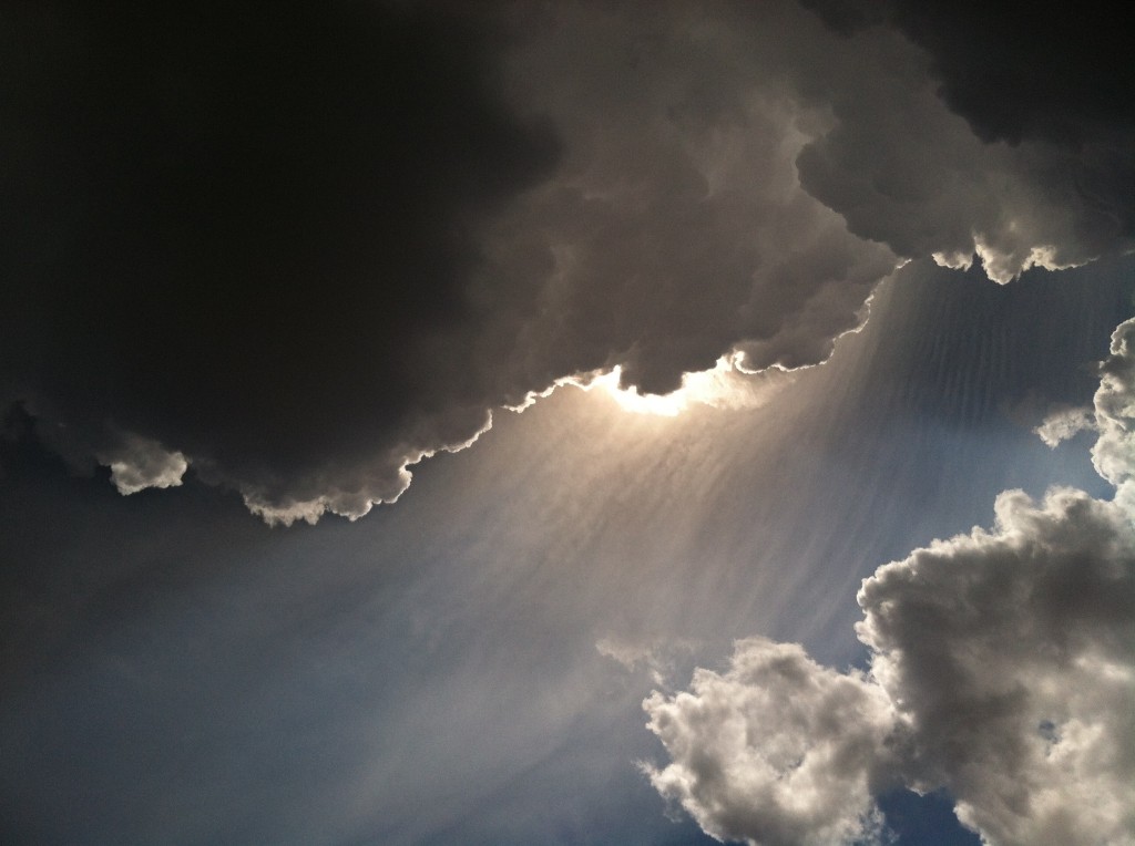
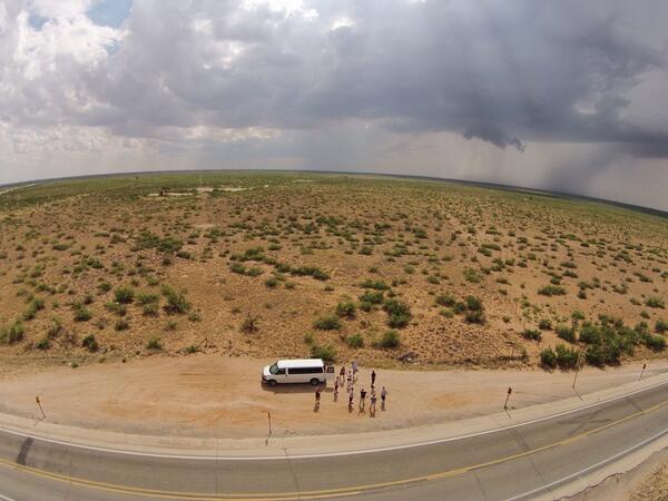
Storms were not moving too fast, so we were able to deploy a drone to get some aerial shots of the storm as well.
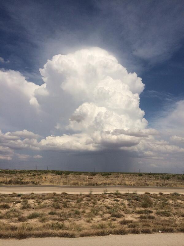
After watching this storm for about 45 minutes, we headed south towards Fort Stockton, Texas which would be our resting place for the night. On the way, storms were pulsing up and diminishing all around us which allowed us to get a great view of some of the storm structures. Here is a picture of a storm in the developing stages about 10 miles from us.
We are staying in Fort Stockton tonight and look to continue our west Texas chase tomorrow.

