
Shawn Crowe writes “Medium range models are keeping us above freezing until at least the 17th of the month now. It’s not looking good for snowfall chances in KY this month, as this zonal pattern seems to be stubborn. What is your take Dr. Goodrich?”
Today’s cold front and flurries aside, the next week to ten days appears to reflect the pattern change I alluded to in my last blog posting where I mentioned a transition to a more zonal flow sometime around 12/10-15. The actual pattern change will occur a couple of days early and by this coming weekend the Mid-South will be >10F above normal for this time of year.
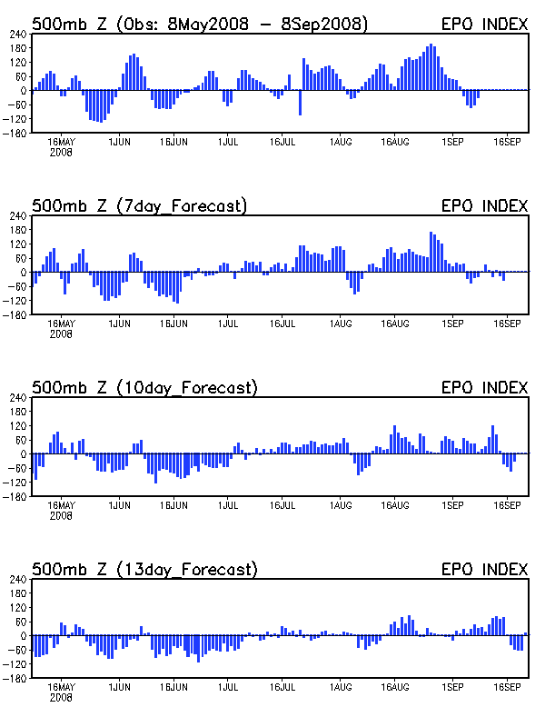
Normals this time of year in south-central KY are upper 40s with lows near 30. By Sunday, temperatures could be comfortably in the mid-60s. The culprit is the return to a positive EPO which translates synoptically into a zonal pattern across the United States. Note how the pattern shifts from a NW flow today to a zonal flow by Friday. A shortwave will will deepen a trough over the southwestern U.S. (rare for a La Nina) over the weekend which will amplify the Southeast ridge and bring mild and moist conditions to the Mid-South (and add to the snow-pack of the northern Plains/Great Lakes where snow depths are a widespread six inches as seen here).
Shortwaves will eject from the Southwest along the quasi-stationary boundary that appears to set up over the Mid-South early next week. The exact timing of the individual shortwaves as well as when the trough will exit the Southwest is highly uncertain at this time but expect precipitation chances each day from Friday into the middle of next week with temperatures above normal. While there may be a brief cooldown behind the system as it departs the Southwest in the middle of next week, things should quickly warm up again as none of the teleconnection indices show any indication of the return of cold weather into the Mid-South anytime soon. The last few runs of the GFS hint at a highly ampflied pattern with a large storm around the 17th, but there is little ensemble support at this time. The teleconnections do not support such a highly amplified pattern at this time.