
My previous post outlined some caveats that represented uncertainty over the pattern evolution over the 2nd half of January. Recent data has diminished the uncertainty which means that a wickedly cold pattern should begin across the northern plains later next week that will eventually plunge much of the northern tier states into a similar pattern as the December 1-15, 2007 period. In fact, it is possible that for many northern tier states, which currently are around 10F above normal for the first 10 days of the month, January’s early anomalous warmth could be canceled out by anomalous cold.
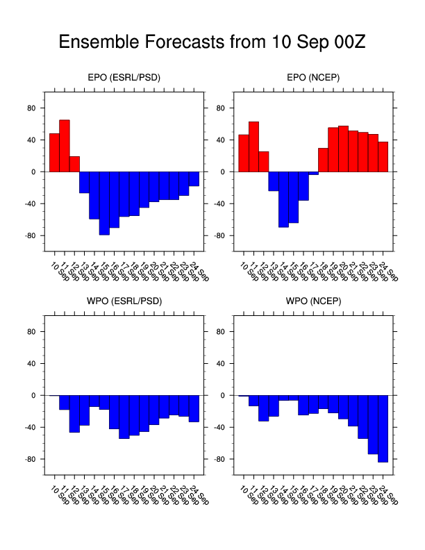
The caveats from the previous post included the lack of support from the EPO and no agreement with the ECMWF model. The latest EPO ensembles now are extremely negative and the ECMWF is in lock-step with the GFS showing an east Pacific blocking pattern and deep trough over the eastern U.S. Even the GFS ensembles are in full agreement with the operational GFS through at least 300 hours, which rarely happens.
What this pattern means for the Mid-South
After an initial arctic front around Thursday of next week which will likely be accompanied by a rain/snow mix that turns into a light snow, and a few days of very cold weather, I think this pattern from around 1/22-1/30 will likely be remembered as mild and wet for the Mid-South. Just like in early December, there was a very sharp temperature gradient north of the Mid-South that kept areas north of the front in the single digits and teens and areas south of the front in the 50s and 60s. The reason for this zonal baroclinic zone was due to the combination of the east Pacific ridge (negative EPO) and the Southeast ridge (negative PNA). Because the SE ridge has been such a dominant synoptic feature for the past couple of years, the PNA has not been able to sustain its positive (cold for the SE) phase. This results in a pattern that looks similar to what is shown on the 312 hr GFS, which features a positively tilted trough axis in the Southwest and a ridge in the Southeast. This leads to a cold and snowy (and possibly icy) pattern for areas north of the frontal boundary and a mild and west pattern for areas south of the front.
I have seen no indication that the Mid-South will be located on the north side of the front, which means that January, much like December, will also be several degrees above normal with rainfall well above normal.