
The phased jet streak pattern mentioned in my previous post that resulted in rain every 2-3 days will transition to a less wet but cool northwest flow over the next week.
A very active polar jet stream on Day 1 will eventually cut off due to a building SW-NE trending ridge off the West Coast. The last gasp of the current shortwave generating machine will create a low that will ride the stalled out front currently over the Mid-South on Thursday/Friday. By Friday, the polar jet will be cut-off with a weak upper low over the Southwest and a northwesterly flow across the central United States. This will bring cool cP air into the Mid-South for the weekend. Shortwaves will ride the jet and bring light showers/sprinkles into the Mid-South over the weekend, but no severe weather is expected since the jet streams will not be phased and tropical air will remain to the south along the Gulf Coast.
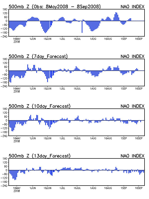
For next week, the polar vortex will slowly drift towards New England as the negative phase of the NAO intensifies. Beyond that, there is some disagreement with the models. The GFS allows a new lobe of the polar vortex to slide into south-central Canada for late next week, which would bring a repeat of the pattern we had during the first two weeks of May. The European keeps the new lobe of the polar vortex over the western U.S. and allows a ridge to develop across the East. The Climate Prediction Center is going with the GFS as both the 6-10 day and 8-14 day projections are cool and wet across our region.