
Aside from the gusty winds from the remnants of Hurricane Ike a week ago, September has been a dull month weather-wise for the Mid-South with a split flow pattern that has kept Kentucky comfortably warm and dry. The good news is, a series of events in the southwestern Atlantic is shaping up to create a dramatic change in the synoptic pattern.
The current upper air map shows the split flow pattern, with a zonal sub-tropical jet along the Gulf Coast and a meridional polar jet to our north. The dominant feature over the Mid-South is a strong ridge at 850 mb that will be weakened over the next few days due to the NW flow aloft at 200 mb. This cooler air aloft will lower heights over the Mid-South, and eventually develop an upper-level trough over the Southeast. The main surface features on the surface map are a stationary front just off the SE coast and a strong tropical wave over Puerto Rico.
By late Wednesday, the developing trough over the Southeast will draw the stationary front towards the coast and spin up a surface low that will bring rain to the coast. Steering winds aloft will bring what could be named Kyle towards New England. Note the polar jet has now gone zonal at this time, which will allow very cold air to pool southward towards the U.S.-Canadian border.
By late Friday, “Kyle” will be approaching New England at the same time the upper-level low is already bringing heavy rain to parts of the Mid-Atlantic states and New England. There is a chance that some clouds and moisture will overspread into eastern Kentucky, although precipitation would be widely scattered at best. There is some disagreement in the models as to the handling of “Kyle” due to the complex interaction between “Kyle”, the upper level low, and the Bermuda High. The consensus of models show “Kyle” making landfall anywhere from south Jersey to Maine, although a few models do not have a U.S. landfall.
Once “Kyle” goes extra-tropical over the weekend, the pattern will be perfectly set up for an instrusion of early-season arctic air into the eastern half of the country. The GFS for late Monday shows two important shortwaves that will bring a 1-2 punch of unseasonably chilly air into the Mid-South for the middle of next week. The first shortwave is over Minnesota, while the second, which is also under a southward moving jet max, is over northern Canada. To this point, there is strong agreement between the last four runs of the GFS and some strong consensus between the GFS ensembles and even the ECMWF. After 162 hours, there are some important differences in the handling of the shortwaves.
Scenario 1: The 0Z GFS is much more aggressive with the first shortwave, which allows that vort max to dig out a cut-off low over Kentucky on Wednesday. The second shortwave also cuts off but over Ontario. For Kentucky, this scenario would result in a blustery, raw day with rain showers and temperatures steady in the mid to upper 50s. The wind and rain would make it feel much colder.
Scenario 2: The 6z GFS allows both shortwaves to follow the same track, which carves a deep open wave over the Great Lakes. This would allow arctic air to intrude much farther south into the Great Lakes than would scenario 1. If this scenario occurs, there would likely be some snow falling in the U.P. of Michigan and upstate New York. This pattern would also result in some record-breaking low temperatures in New England as well. For Kentucky, this scenario would result in less rain, but it would still be cloudy to partly sunny with scattered showers and a chilly breeze. I would guess highs may get into the lower 60s due to the partial sunshine. There’s a good chance lows could fall below 40 in many places.
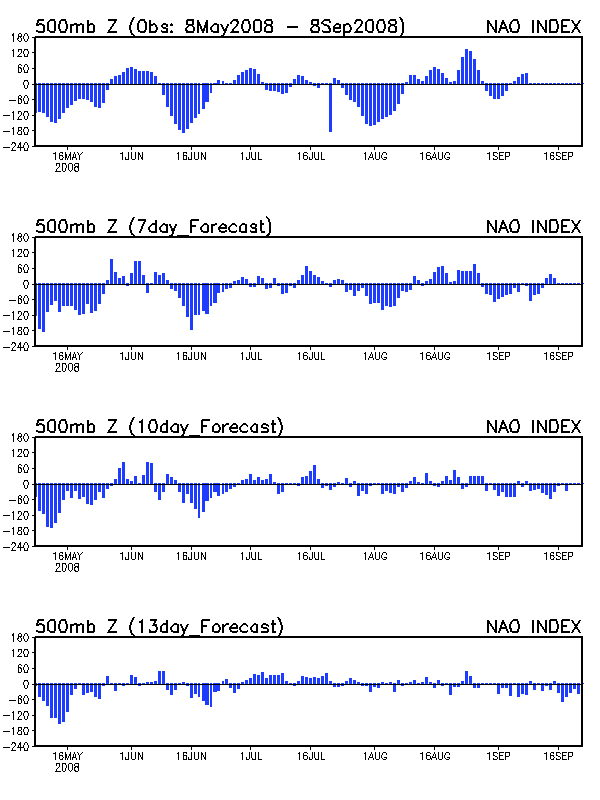
So which scenario is more likely to come true? That’s a tough call right now. Synoptically, October is one of the best times of the year for cut-off lows, which lends credence to scenario 1. It it also climatically uncommon for such a dramatic trough as depicted in scenario 2 to occur this early in the winter season. Regardless of which scenario plays out, most other indicators suggest a chilly start to October. The NAO is forecast to go strongly negative during this time period which teleconnects to a trough in the eastern U.S. The ECMWF is not as bullish on the cold as the GFS, which is often the case as the GFS is prone to overdevelop arctic outbreaks, especially in the transition seasons. The GFS ensembles all show a trough in the East, but none of the ensemble members have the cut-off low as depicted in scenario 1.