He is my winter forecast for 2010-2011. the regular rotation of daily forecasts will return Monday.
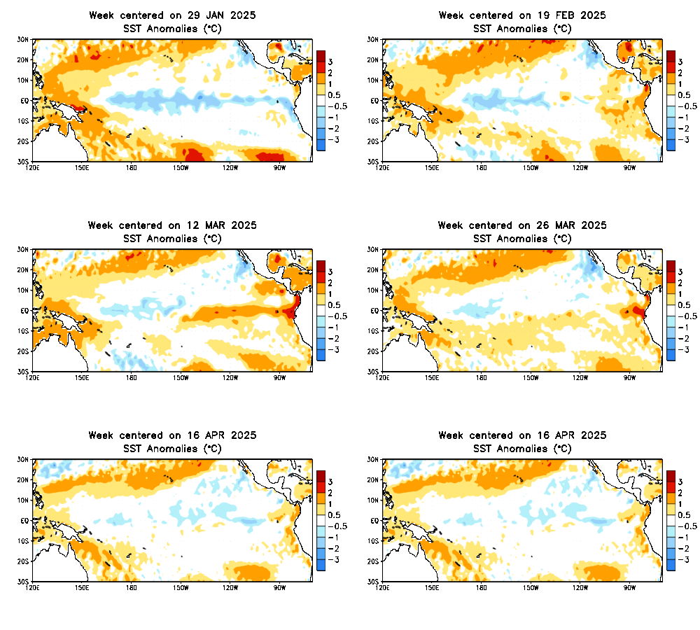
First let’s start with an overview of recent events we have very warm and dry weather in recent months as a transition of an el-nino to la-nina is in progress. Sea surface temperatures (SST’s)in the tropical pacific have already reached -1.5*C in some spots.
NOAA

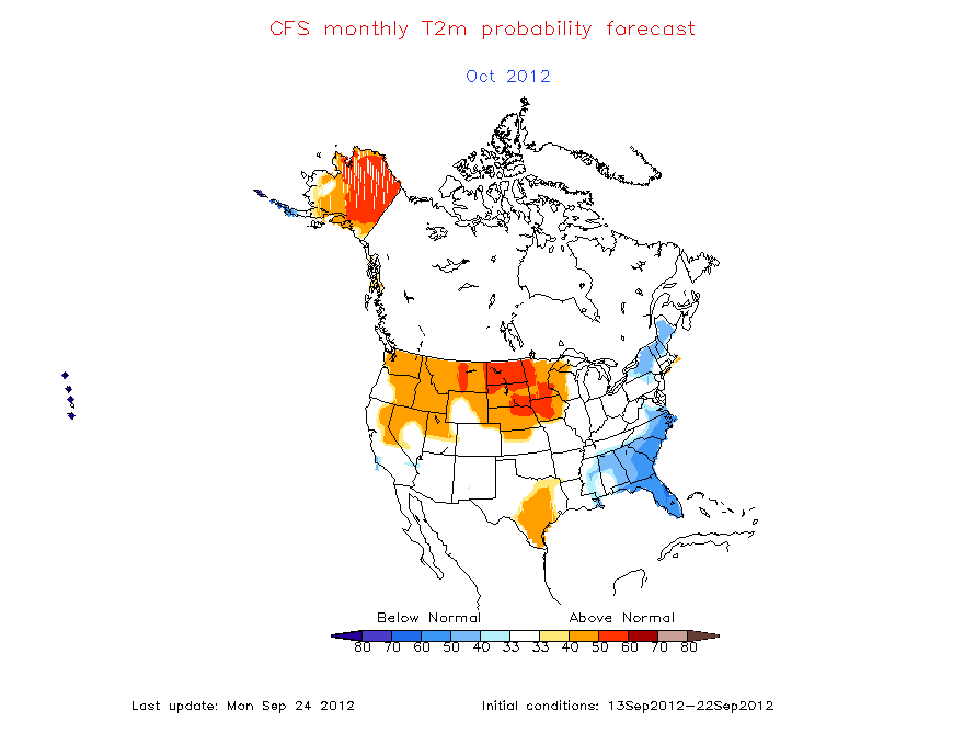
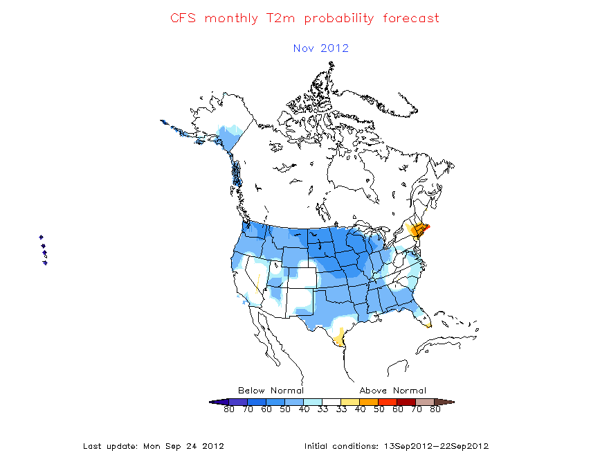
over the next few weeks long range modeling in the 10-14 day period and teleconnections indices suggest a mean pattern of an eastern trough with a ridge in the west carrying us through oct. This october/november expected pattern is a factor being considered in my winter forecast. The CFS is also calling for a cold fall for the region.
CFS


Next we add in a major component to the winter forecast is Sea surface temps in the pacific currently the anomalies are already suggesting that a la-nina is in progress and if the strength of the cold anomalies hold in the tropical pacific then this la-nina could become strong. Model projections of the la-nina progress it to at least a moderate status if not strong ( -1.5*C) for several months.
NOAA model projections for the nino state from there weekly report
most of the modeling projects a moderate to strong la-nina this winter.
So from looking at what has happened the past several months and what is expected to happen in the next few months with the SST”S we have several comparison winters known as analogs to look at
2007-2008
1998-1999
1988-1989
1973-1974
The first thing that should jump out is that 2008 featured the infamous super Tuesday february severe outbreak. all of these winters had an el-nino which had already gone to la-nina which became moderate to strong by the wintertime. the winter of 07-08 featured many back and forth temperature swings with snow in march and severe weather in February which was followed by several mixed precipitation events. The winter of 1998-99 was mild overall but did feature a snowstorm similar to 07-08. research also shows the winter 1988-89 was mild.
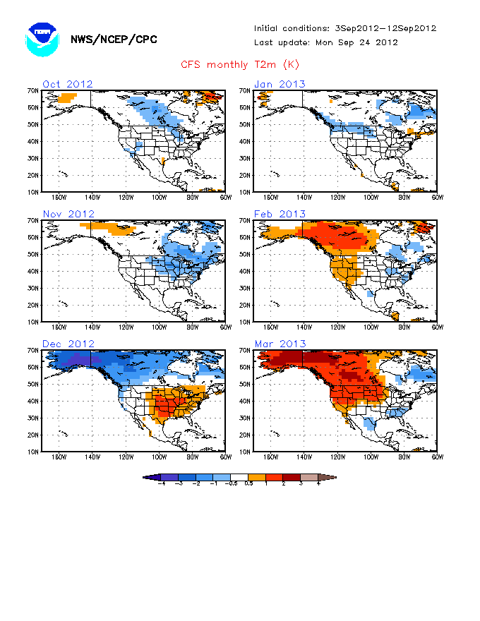
Another factor in the forecast is what the climate modeling is showing for the upcoming winter
CFS

ECMWF seasonal model approximate map ( I’ve seen the euro model forecast for the winter however it can’t be copied onto the site so here is a homemade map approximating what it has)
above normal temperatures for most of the eastern United States. Many of the climate models are going in this direction.
another contributor will be the switch to a cold PDO which will likely aid in the establishment of a western trough pattern during the winter
Now to the forecast
summary so far
– everything I’m seeing indicates a moderate to strong la-nina
– thinking a cooler pattern through november
– analogs of similar winters mainly mild with some snow and large temperature swings throughout the winter
Forecast
Overall I’m expecting the la-nina to be the dominant player this winter. However the cooler pattern expected through November could make for some colder and snowier conditions than normal in december, it should also be noted that some past la-ninas have been known for a fast start to winter. By January a storm track from the west coast into the plains and upper midwest with a ridge in the southeast will be in place ( very mild with thunderstorms for KY). However I don’t expect every storm to take this track with a secondary track through the Ohio valley ( light mixes/ mainly rain) and a few systems which take third track from the southeast up the east side of the Appalachians ( snow/ice events). Clippers should mainly be confined to the upper great lakes with the potential for nw flow in December to send a decent clipper our way with some upslope snows in east KY with early shots of arctic air in december . On average with the storm track well to our northwest mild air will be pulled into the eastern United States with colder airmasses in the Rockies and pacific northwest with a trough in place most of the winter coupled with an eastern ridge.
Temperature forecast
Precipitation forecast
Snowfall forecast
storm track A ( main storm track 75% of lows)
storm track B 17% of systems
storm track C 8% of systems
For Kentucky:
In December expect a cool end to the fall to have some effect on the first month of meteorological winter with somewhat cooler than average conditions and a trough in place over the eastern US this may allow for light snow events mainly in the form of upper level disturbances and nw flow events. However there will be at least some signs of the main winter pattern with a week or two of the month featuring a trough in the west and ridge in the east with milder than normal conditions and a storm track well to our northwest. The potential will also exist for on these storms to track east of our region bringing a more significant snowfall.
temps: 1-2*F below normal
snowfall: slighty above normal
Janurary-March
The main winter pattern will be for a storm track across the west into upper midwest with southerly flow periods of unseasonable warmth are likely with brief cooldowns followed by a quick return to warmth. the storm track to our west will allow for plenty of moisture to come into the region with several heavy rain makers. However there will be a few systems (track b) which can have enough cold air to produce mixed precipitation for the region with an even smaller chance of the eastern track system for a more signficant snow/ ice event.
temps 3-5*F above normal
snowfall: below normal
Winter breakdown for Kentucky:
Temperatures: 1-3*F above normal
Snowfall: 40-80% of normal
– more severe weather than usual, also chance for some icing events
Make sure to check back Monday for a discussion on a potential squall line Tuesday.


