Much like the Weezer song, we have felt like an island in the sun for the last couple of days. A much needed relief from the cold and rain. Right now Bowling Green is sitting in second place for its wettest February with 11.08″. It is only being beat out by 1989 with 11.27″. Even with rain potentials Thursday, it doesn’t look like we’ll have enough to break the record. For now we’ll just have to enjoy our little island in the sun.
Taking a look at the surface map, a stationary front is lying on top of us. It along with southerly winds, and a high pressure center that was over us Tuesday helped provide some warm, dry air.

Heading into late Wednesday night there is a small chance for rain, but it should miss the area if it comes down at all. Overall it will be very similar to today. In fact, it should be warmer!
Unfortunately Thursday is where things turn ugly!

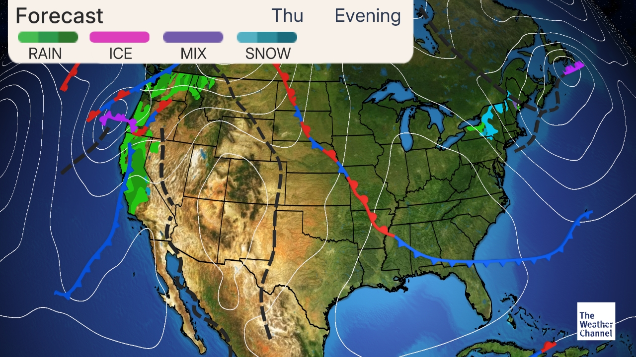
The Wednesday evening surface forecast shows a cold front that will go across the area Thursday bringing with it some rain. Temperatures will drop to the low 50s so make sure to have a jacket with you! The rain associated with the system will drop around a tenth of an inch, which again wont get us past that record.
- SUMMARY:
- Tuesday:
- High: 61
- Low: 38
- Enjoy the sun!
- Wednesday:
- High: 65
- Low: 41
- Our last sunny, warm day for a bit so go out and enjoy it!
- Thursday:
- High: 53
- Low: 42
- A 50% chance of rain Thursday and Thursday evening.
- Tuesday:
Have a good week and stay safe!
