
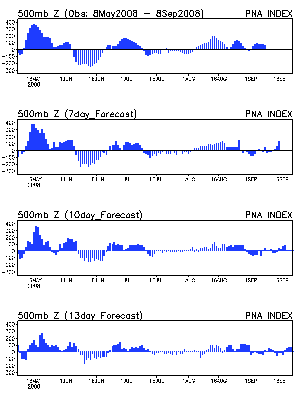
The prolonged negative PNA pattern that has controlled the weather across the Mid-South since mid-March (right about the time I stopped posting) has kept things quiet and dry. That will change as a bowling-ball 500 mb low will barrel across the central Plains and bring some rain this weekend.
The primary role of the negative PNA is to enhance the SE ridge. As you can see from the 00Z Friday maps, the SE ridge is alive and well and will amplify as the cut-off low lowers heights in the Plains Friday afternoon. Because the deep low-level moisture will be reluctant to return after this unseasonably cool air mass, I don’t think we will have to worry about instability and severe weather from these storms. As the system occludes Friday night, expect to see a squall line develop and slowly move across Mid-South. This squall line will quickly fall apart by Saturday afternoon as the front weakens against the SE ridge, so there should be quite a precipitation gradient from west to east across the region. I think the current NWS forecast of 1-2 inches for BWG is too high and 0.50-1.00 seems more likely, especially if the models continue to slow the system down (which is common for occluding storms like this).
Based on what I’ve seen over the past month with the strengthening of the SE ridge, the northward progression of the polar jet, and the expected continuation of the La Nina event through at least mid-Summer, I think there is a good change of a dry summer across the Mid-South. I don’t expect a return to 100+ temperature like we saw last August due to the wet winter, which has replenished soil moisture enough to give us plenty of evapotranspirational cooling. One thing to watch for in May and June, are big cut-offs lows aloft that sit and spin over the central United States. The split flow pattern we have been in lately combined with the reservoir of very cold air still over much of Canada are a perfect match for soggy cut-offs that can lead to very wet 7-10 day periods. Also look for at least a couple more very unseasonably cool highs to come out of Canada. We are probably done with frost potential, but the abundant cold air over Canada won’t go away without a fight. If we can get rid of this split flow, we may very well have an active severe season during May and June over the central Plains.