High pressure will continue to dominate the area over the next few days, keeping the hot and dry weather around. Temperatures are forecast to top out in the mid 90s on both Wednesday and Thursday. There is a slight chance of a shower or thunderstorm tonight, as both the RUC and the GFS paint a few hundredths of an inch of precip over the area. However, the low levels of the atmosphere are very dry due to our continuing lack of rainfall, and this rain chance will probably not amount to anything.
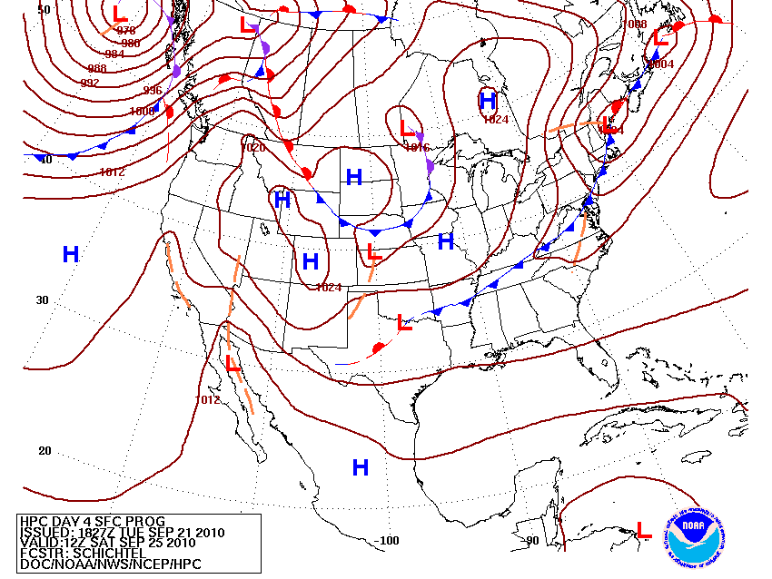
Over the weekend, the persistent ridge should break down enough to allow a cold front to pass through the area and bring cooler conditions. Moisture will be limited with this boundary and the surface cyclone will be well to our north, but there still might be enough convergence to fire some scattered thunderstorms on Friday and Friday night ahead of the front.

Forecast surface map at 7 AM Saturday morning from the HPC, showing cold front past Bowling Green.
