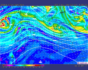
The past couple days were rather wet for Bowling Green, with the airport recording 1.01 inches of rain. This was associated with a rather slow moving cold front that moved through our area. Now that this front has moved through, our second cold blast of the year has occured, with the first one associated with the last cold front around Thanksgiving. A few flurries fell last night, but there was no accumulation.
Both the GFS and the NAM are forecasting a shortwave trough to move through the lower Ohio Valley sometime over the weekend with an affiliated low pressure system. There may be some precipitation associated with this event, but it is unclear whether or not Bowling Green will see any of it. Ahead of this, there should be some light warm air advection bringing temperatures in our area back into the mid 40s, but this brief ‘warm-up’ should be over with by Monday or so, with temperatures returning into the 30s. It looks as if wintertime is finally upon us!

