Good morning everyone! Hopefully Spring Break went well for all students, and the time change is not hitting everyone too hard.
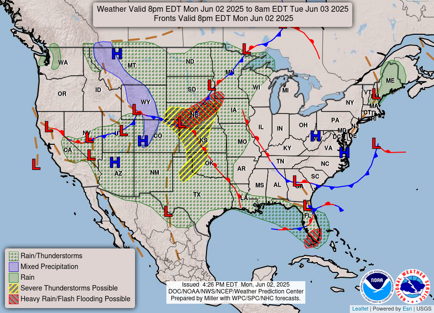
We have a high pressure system over the region that is helping to give us a nice start to the week. To the south there is some rain but that won’t reach us. Some more clouds will move into the area later on. Our next system is currently is Southern California dropping rain on them as well as some snow in the Sierra Nevada Mountains. This low pressure system will make its way into the area Wednesday night where we’ll start to see some rain. Thursday will be rainy as well with the potential for Thunderstorms. There could be some flash flooding associated with all the rain so be careful on the roadways. Make sure if the road is flooded to turn around.

The other big concern, along with the rain, is the wind for Wednesday and Thursday. Models are showing winds 25-30 mph for Wednesday and especially Thursday. This will make for driving lighter cars more difficult so again be careful the next couple of days. While an umbrella may be needed for the rain Thursday, the winds could make it very difficult to use.
Anything severe looks to remain to the south of Kentucky. Just keep an eye out for the rain and heavy winds. Thankfully temperatures will remain nice for the next couple of days. The highest temperature for March so far of 72° will be seen for Thursday.
- SUMMARY:
- Tuesday:
- High: 61
- Low: 46
- Wednesday:
- High: 69
- Low: 59
- Strong winds will come into the area. Rain will make its way into the area towards night.
- Thursday:
- High: 72
- Low: 43
- Rain and possible thunderstorms will come down all day before clearing for Friday. Strong winds will continue to be a problem Thursday.
- Tuesday:
Have a fun, safe week everyone!
