
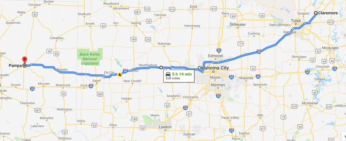
We started our Thursday morning by packing up and leaving Claremore, OK at 8 AM. We also parted ways with David Oliver ( Director of Environmental Health and Safety at WKU) and Dr. Tim Caboni (WKU President). Over the course of 3 days, we traveled just over 1500 miles with the President across Texas, Oklahoma, and Kansas.
We had a general idea that storms were going to be in the Panhandle of Texas, but this area is much bigger than most people think. After conducting a forecast discussion in the van, it was determined that our target would be Pampa, Texas.
Atmospheric Setup
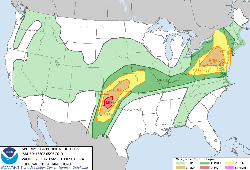
The Panhandle of Texas was expected to be an area of severe weather. The upper level jet streak has backed off a little bit, but still brings upper level divergence/low level convergence to that area. A stationary front was draped west to east across the northern portion of the Texas Panhandle, and the north to south dry line was situated directly over the Texas/New Mexico border. The Panhandle would have plenty of instability, wind shear, and moisture, as the strong low level jet helped pull in deep moisture from the Gulf of Mexico. These ingredients, converging on the boundaries, helped initiate storms west and north of Amarillo. Pampa, TX was our target because we felt that storms would initiate west of Amarillo, and move into a better environment just east where they could develop into supercells. While we were driving to our target, the Storm Prediction Center upgraded the Day 1 Convective Outlook to a Moderate Risk (Level 4 of 5) for the area just east of Amarillo, which was in perfect agreement with our target.
We stopped for lunch in Shamrock, TX, and ate at the Roost, a popular local restaurant. We continued to our target, and then waited for storms to initiate.
Chase
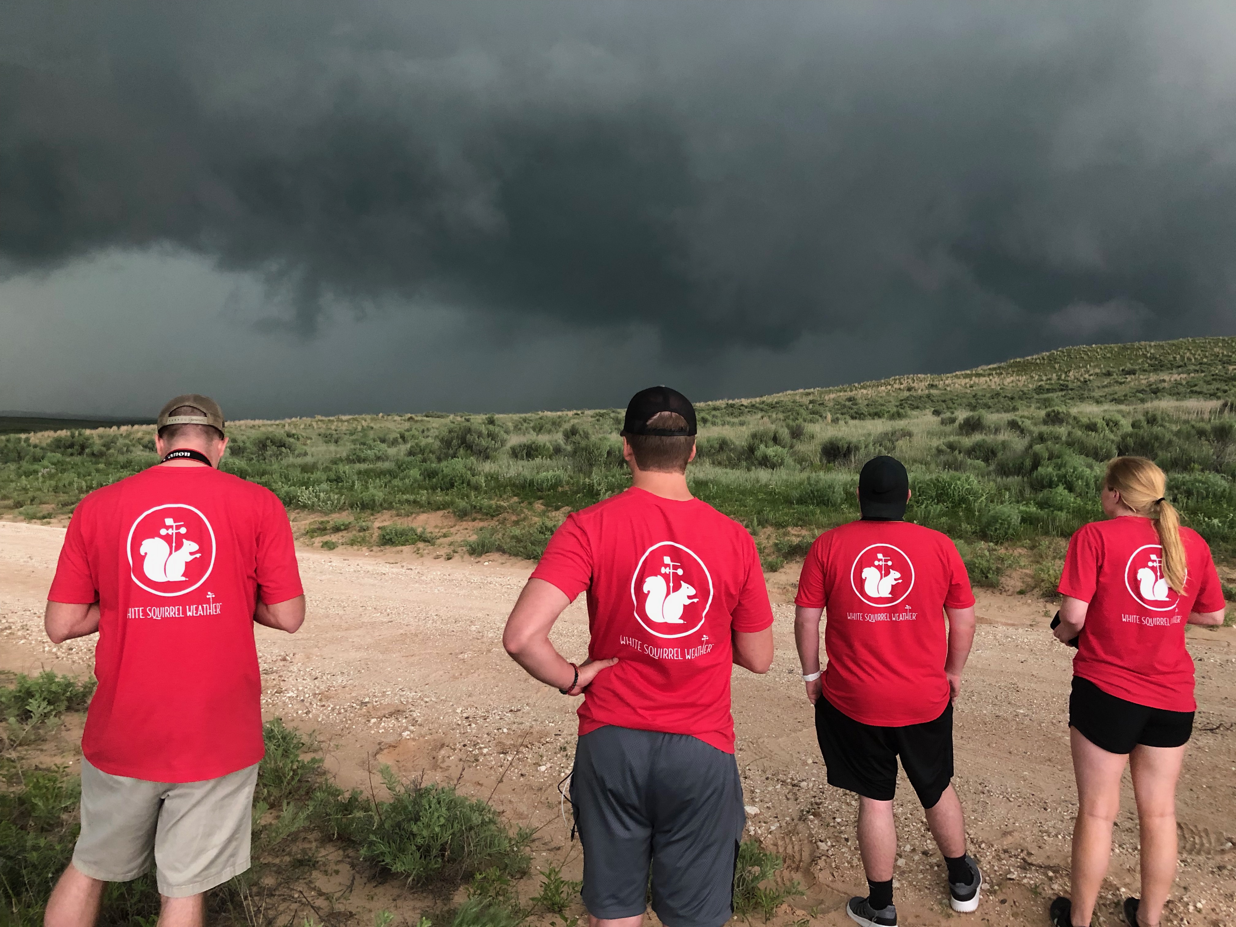
Our first storm of the day was just to the north of Pampa, TX. We chased this unorganized supercell for quite some time. Fortunately, flood roads were not a problem today, and the chaser convergence was a little more spread out over the Panhandle. We continued to chase this storm as it was southeast of Spearman, Texas. We were able to take a sturdy dirt road, and drove within a few miles of the cell.
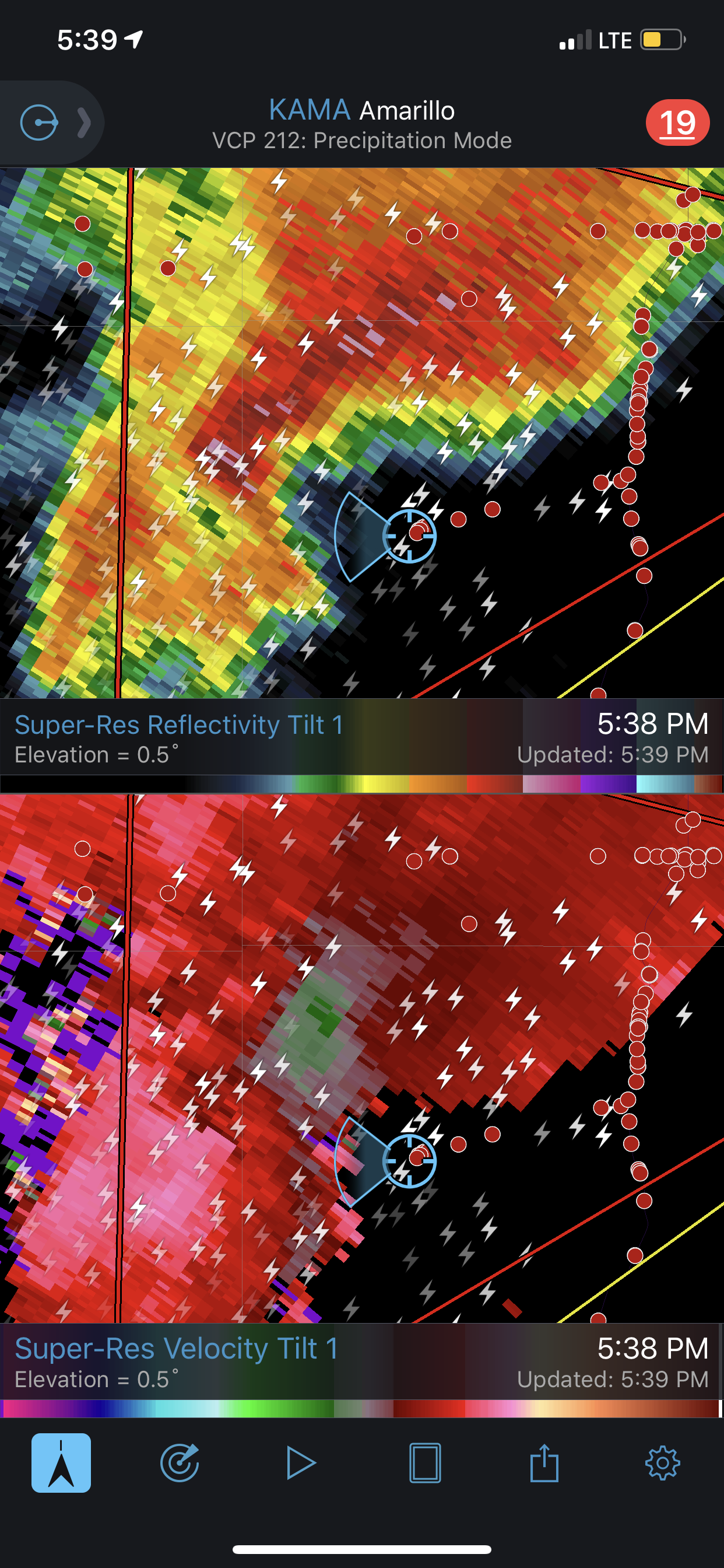
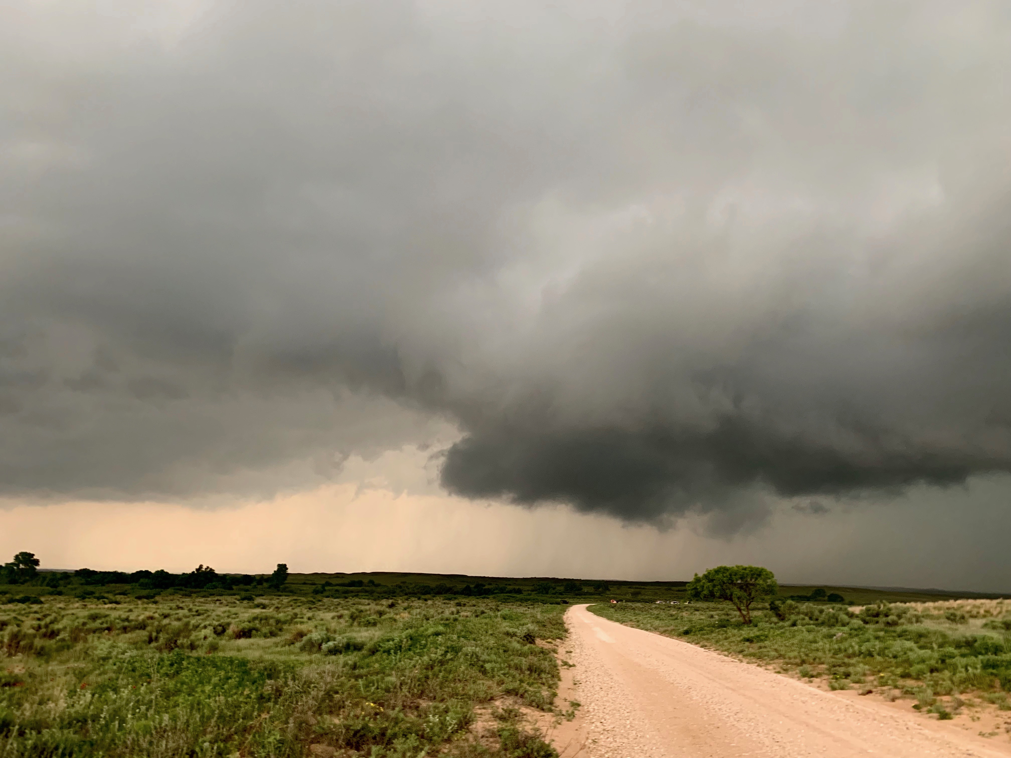
This location brought a nice view of the approaching storm, as seen below.
We continued to chase the storm northward all the way up to Perryton, TX. This is just south of the TX/OK border. Again, this cell produced very ominous clouds, and we sat and watched.
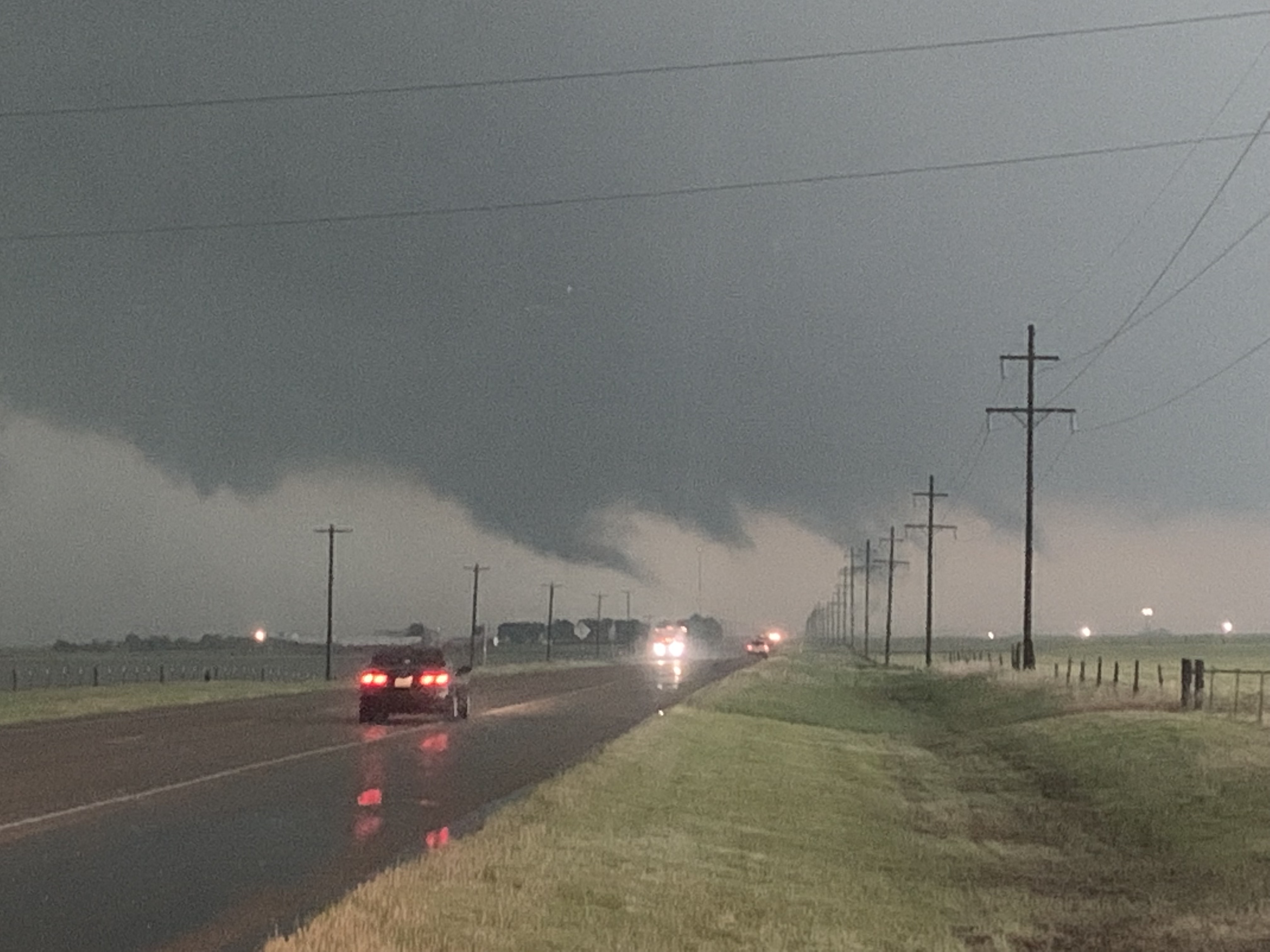
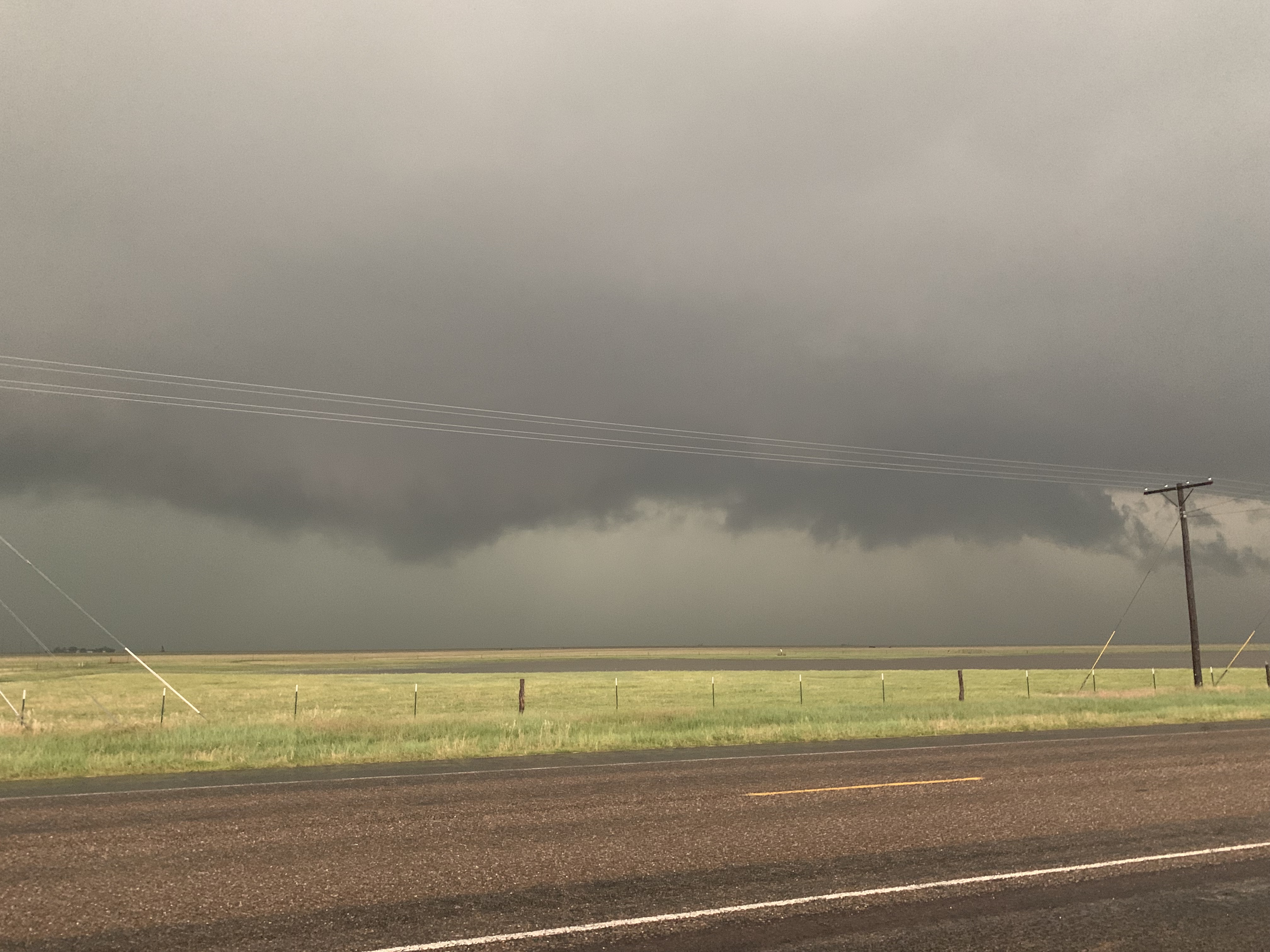
We had trouble with visibilities again. Wall clouds and possible tornadoes were rain wrapped, and when blocked by a curtain of rain, makes it very difficult to see anything. We had several velocity couplets that suggested a possible tornado, but we could not see it. But, overall, it was still a great chase day. The forecast verified that our target would be the location of severe storms. We saw some ominous clouds, ran along side tornado-warned storms, and saw a lot of incredible lightning.
End of the Day
We finished chasing near Canadian, TX, and decided to get a late dinner at the Stumblin’ Goat. We then drove south to Shamrock to spend the night.
Thanks for following along on our storm chase trip. Make sure to follow @wkustormchase on Twitter for current updates.