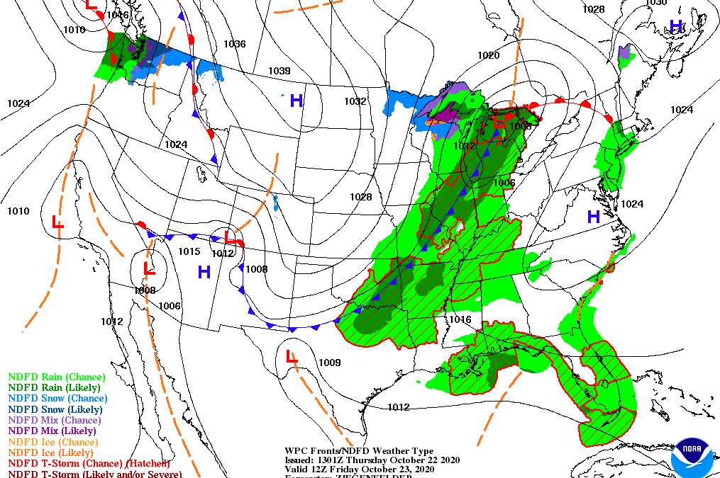
High of 81F with some showers likely for your Friday in South Central Kentucky, so you’ll definitely want to pack that umbrella if you plan on being out and about as a low pressure system dominates the great lakes. A cold front approaching most of the Tennessee Valley will cause total rainfall amounts to be at about .25″ through the region with calm wind conditions out of the Southwest at about 5-10mph. Bringing with it will be much cooler air than what we’ve been seeing on Saturday with a high temperature of 58F and a low of 52F. Other than that, Saturday looks like a dry day overall, so that’ll be the day to get any outdoor chores out of the way. From Sunday and on, we are tracking some additional showers that are headed our way. A big cool down is expected for next week as temperatures stay on the decreasing trend for the most part, so stay tuned with us as we track that out for you!
Stay safe and enjoy your weekend!