
Day 1 of storm chase was a memorable day. Many people in the class saw there first tornado in person.

The Setup
There was a cut-off low over the four corners region, creating divergence over the Texas Panhandle and central Texas. A dry line was in place near the New Mexico-Texas border, moving east with time. The dry line was the biggest forcer for these storms. The dew points east of the dryline were in the 60s with higher values advecting from the Gulf of Mexico. The Convective Available Potential Energy (CAPE) was extremely high across the region as well. The lift, moisture, and instability were present to create severe storms. Wind shear was lacking upon initiation of the storms, but the 500 mb jet streak arrived just in time to create rotating supercells before these storms turned into an MCS.
Frist Storm Chase of 2021
Yesterday, the storm chasing class left Hays, KS at 8:00 am to head to the Texas Panhandle. We drove over 8 hours through Childress and Paducah, Texas to get to our target south of Lubbock, TX. We got there just as storms started initiating at around 4:00 pm.

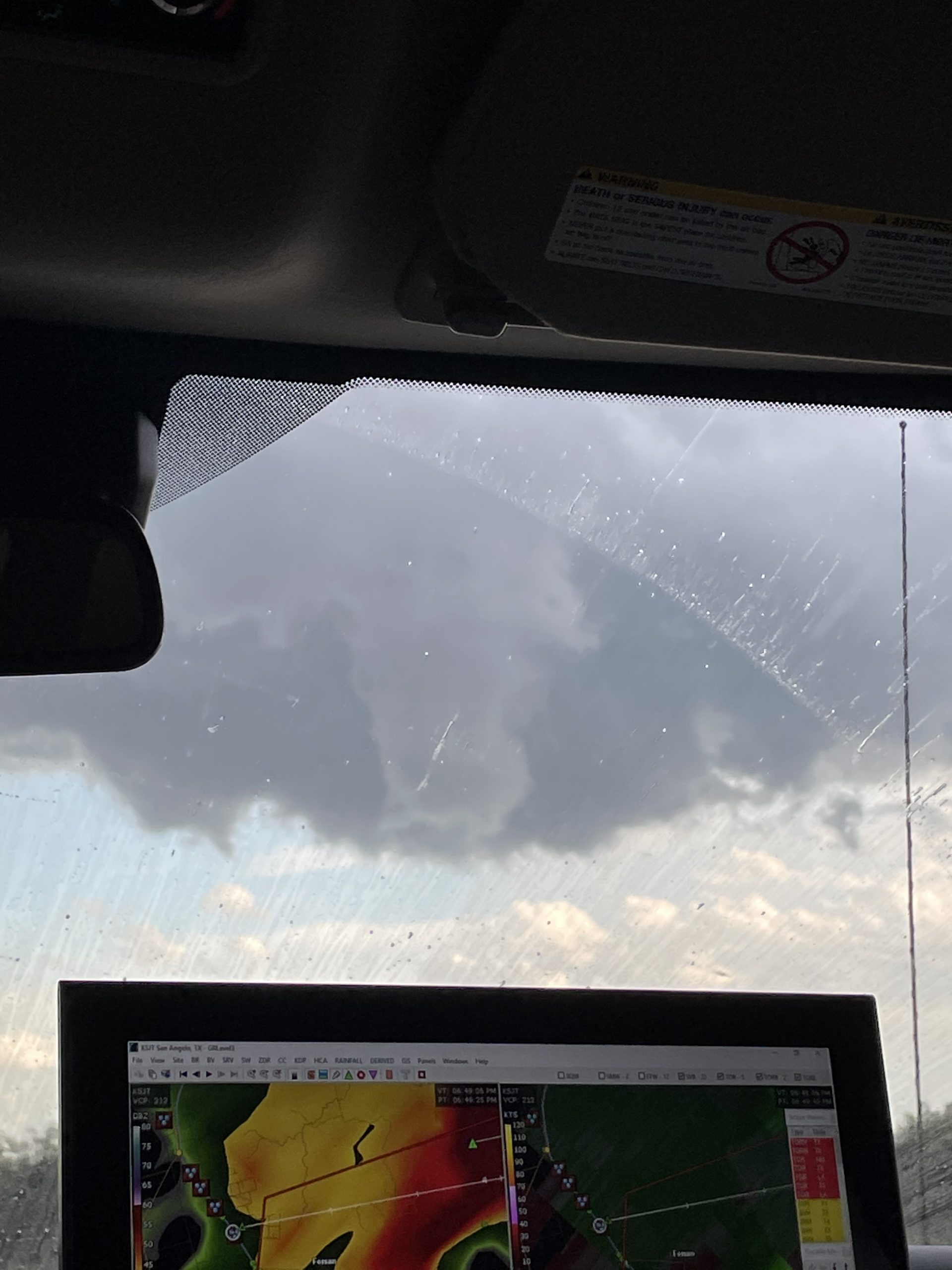
Around 6:30 pm, a rotating supercell started to form as the 500 mb jet streak entered the area. At 6:54 pm a tornado warning was put in effect for the supercell. At 7:11 pm, we saw a tornado from this supercell.

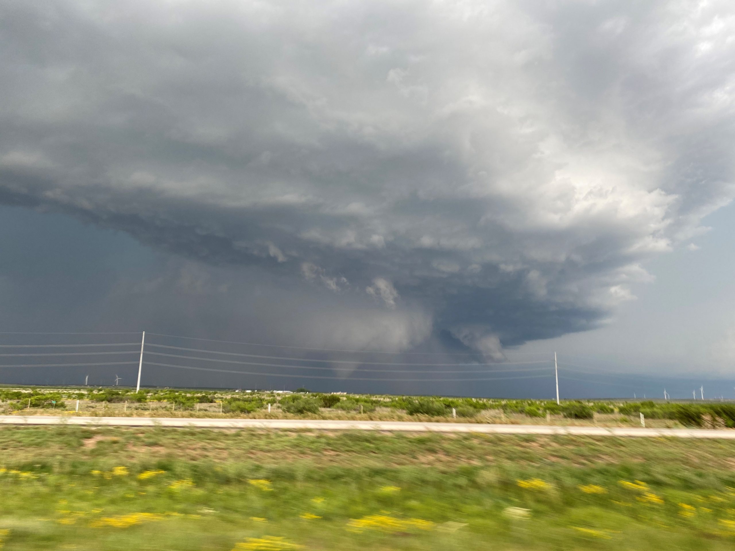
As we were driving to get ahead of the storm, we watched the tornado become rain wrapped. We found a good spot and the tornado, which had lifted, re-emerged from the rain and touched down again. The supercell eventually merged with some other cells and became a line of storms. That evening we drove to San Angelo, Texas and spent the night.