The SPC has placed us under a slight risk for severe weather Thursday
The temperature tonight will only drop to the low 60s with southern winds bringing in warm temperatures. Thursday morning and day will see temperatures only climb to 70 under cloudy skies. Scattered rain showers and storms chances will persist throughout the day; however, the main focus is tomorrow evening/night as a strengthening mid-latitude cyclone settles into the Great Lakes Region. The associated cold front will bring heavy rain and potentially severe weather as it advances through our region late tomorrow evening. High amounts of moisture and strong winds are factors playing into the strength of this cold front.

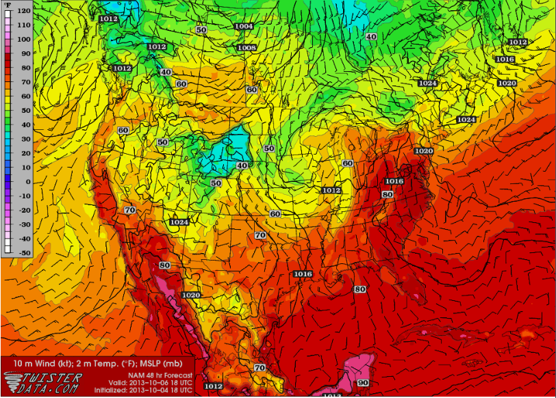
High amounts of moisture will provide fuel for the strong cold front as it approaches our region
Southern 850mb winds are already busy pumping moisture into the area which will push precipitable water values over 2.0” by the time the front pushes through. This will result in heavy downpours and potential flash flooding.A steep pressure gradient will result in steady winds of 10-20mph throughout the day climbing to the upper 20s by evening. Stronger gusts are expected with the advancement of the cold front, should these gusts break 65+mph will determine whether or not “Severe Weather Warnings” get issued.

A band of slight instability will develop ahead of the front
The only instability with this system will occur just ahead of the front as a slender strand of CAPE values over 1000 J/kg will contain the best chance to see any thunderstorms. Although a linear band of storms may develop, low instability will limit the strength of these storms. A tornado or two along the front will also be possible with strong low-level helicity. However, strong winds and flash flooding are the main threats with this front as weak instability will limit thunderstorm coverage and intensity.
Looking past Thursday, a sunny and dry weekend awaits. However, jackets will be needed as temperatures will drop.
Friday: Mostly sunny. High in the mid 60s. Low in the mid 40s.
Saturday: Mostly sunny. High in the mid 50s. Low in the mid 30s.
Sunday: Mostly sunny. High in the mid to upper 50s. Low in the mid 30s.