Happy Friday everyone! Western Kentucky University’s final week is this upcoming week and then so will be graduation! So watch out for graduation traffic and students moving out. This week should be a another week of warm temperatures and sunny skies. We are less than a month out from Memorial Day weekend. Let us take a look at the forecast for the week ahead.
Friday, April 26th (Night): Clear skies with a temperature cooling to a low of 71°F. Winds will be light and variable.
Saturday, April 27th: The day will be partly cloudy with a high of 82°F. As the evening approaches, expect the temperature to cool to 64°F under partly cloudy skies. Winds will be from the SSE at 10 to 20 mph.
Sunday, April 28th: Sunshine and clouds mixed during the day, with the temperature reaching a high of 84°F. The night will see clear skies with a few passing clouds, cooling down to 67°F. Winds will be from the S at 5 to 10 mph.
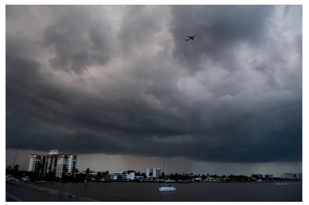
Monday, April 29th: The morning starts mostly cloudy with scattered thunderstorms developing later in the day. The high will be around 83°F. Rain and thunderstorms will continue into the night, with an early rain leading to thunderstorms developing late, cooling to a low of 62°F.
Tuesday, April 30th: Showers in the morning will give way to partly cloudy skies in the afternoon. The temperature will rise to a high of 79°F. The night will be mostly clear with a low of 57°F. Winds will be light and variable.
Wednesday, May 1st: The day will start with a few clouds, otherwise mostly sunny, reaching a high of 86°F. The night will remain mostly clear with a low of 61°F. Winds will be light and variable.
Thursday, May 2nd: Partly cloudy skies with a stray shower or thunderstorm possible. The high will be around 86°F. Overcast skies with showers at times during the night, with a low near 66°F. Winds from the S at 5 to 10 mph.
Friday, May 3rd: Scattered thunderstorms throughout the day, with a high of 78°F. Winds will be from the SW at 10 to 15 mph. Chance of rain 60%.