
After a warm and dry start to the week, a cold front will push through the region in the Wednesday night – Thursday timeframe. This system will bring a good shot at some rainfall and usher in fall-like temperatures for the weekend.
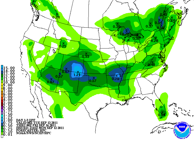
Highs tomorrow are expected to top out in the upper 80s, with temperatures in the lower 80s on Wednesday. As the graphic above shows, the frontal system is expected to drop up to a quarter inch of rainfall in the Bowling Green area Wednesday night and Thursday. Highs Thursday are only expected to reach the upper 60s.