
The past couple of days have been pretty boring, but a great chance to enjoy the beautiful leaves and sunshine. The upper level ridge allowing this persistent pattern will begin to break down tomorrow into Friday. A deepening trough from the west is approaching our area bringing strong winds aloft beginning early Friday into the weekend. The pesky ridge is looking to block the main flow of wind to just north of the area. This will reduce the amount of lift over our area. With the surface ridge over our area this past week, the moisture values are less than spectacular. Moisture inflow is shown to be relevant Thursday night into Friday as the surface high finally scoots east. This isn’t too promising since the front is depicted by the NAM and GFS to roll through the area early Friday. There is some discrepancy with the frontal passage though. The mention of upper air blocking earlier makes me think the frontal movement will slow down as time progresses, which is supported by the SREF model. This is coupled with the surface low moving to the far north into Canada’s Hudson Bay. Considering these facts and how it will occur in the morning, indicating a lower temperature gradient, the front should still have enough steam to pass our area. The timing is the issue.
Everything in consideration, I’m predicting an early afternoon frontal passage. Therefore, high temperatures will not reach as high as today or tomorrow. The amount of precipitation is in question. The models are not showing a high probability of precipitation thanks to the diminishing lift and lack of moisture in our area. The front will bring cooler temperatures, but its intensity will be weakening.
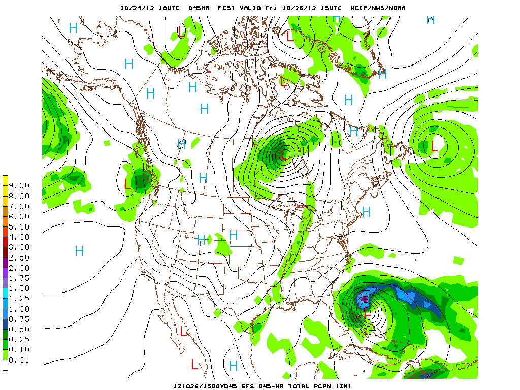 |
| The GFS 10/24 18Z run valid Friday 10/26 at 15Z. It supports both the precipitation and timing predicted for our area. |
After the frontal passage, cold air will filter into the region. Lows Friday are looking to drop to the lower 40’s to upper 30’s. Highs on Saturday and Sunday will hover in the 50’s, while the lows hang in the 30’s. Clouds will clear out after the frontal passage Friday as a high pressure settles into our area for the weekend.
Highlights: High Low Precipitation
Thursday: 81 62 0.0
Friday: 72 41 0.1
Saturday: 54 31 0.0
Sunday: 59 37 0.0
Forecaster: Austin Boys