It was another long but eventful day as our team woke up in northeastern Colorado in the town of Sterling, CO. Once again, the visibility within the Front Range of the Rockies was absolutely spectacular and the setup and ingredients for severe storms were all coming together to make for an epic day of chase.
THE SETUP
The setup consisted of a large trough with the center axis over the Four Corners region of the United States. An area of low pressure developed off the Rockies during the first half of the day and moved northeastward in northeastern CO, this feature was the main focus for the forecast team.
As the center of low pressure at the surface moved into northeastern CO, ingredients conducive for the development of severe weather circulated counterclockwise into northeast CO. With the main forcing mechanism for thunderstorm development being the surface low; combined with shear, instability, and moisture, our forecast target for the day was in the vicinity of Fort Morgan, CO.
BUSY DAY FOR WKU STORM CHASERS
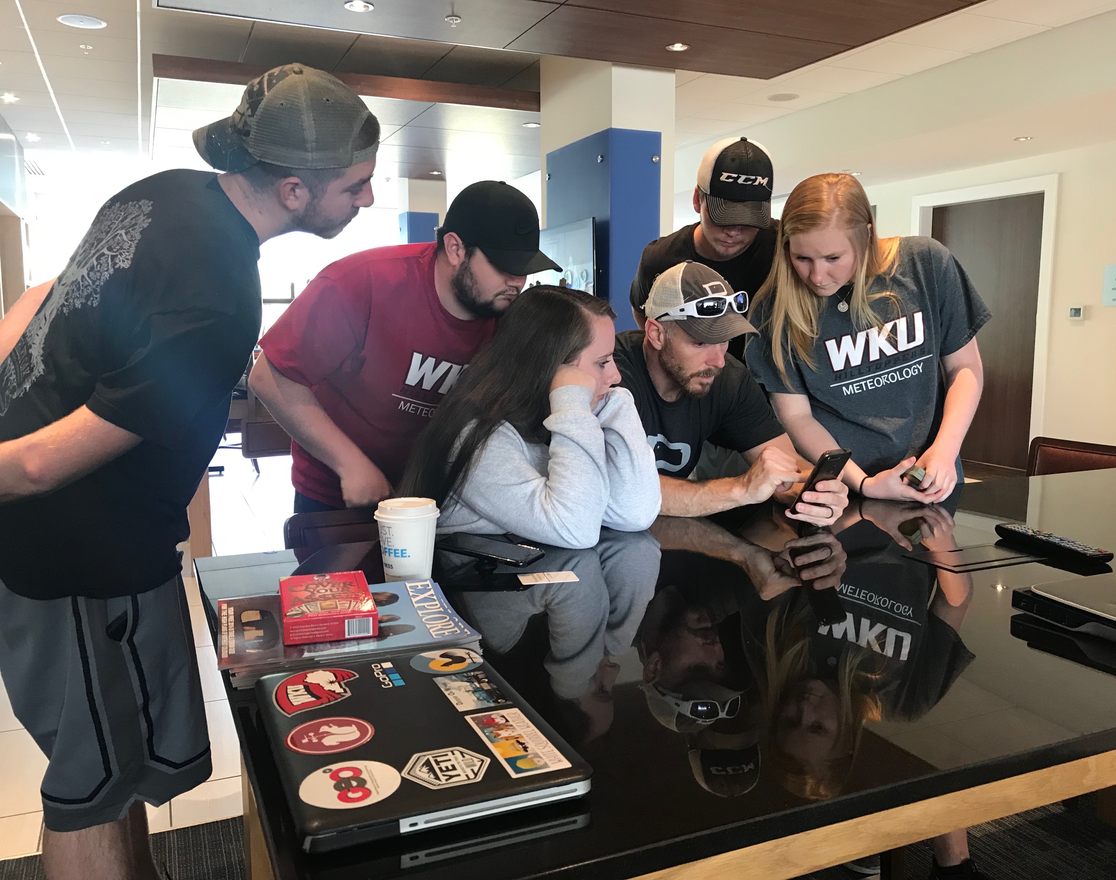
The team woke up bright and early in Sterling, CO and began the day with some breakfast and a group forecast discussion. The chase target that the team aimed for was located in north-central Colorado, in the vicinity of Fort Morgan, CO. After the forecast discussion, the team had some time to spare before thunderstorm initiation and development. With a few hours of some downtime, the team played a very fun card game called “Cover Your Assets”.

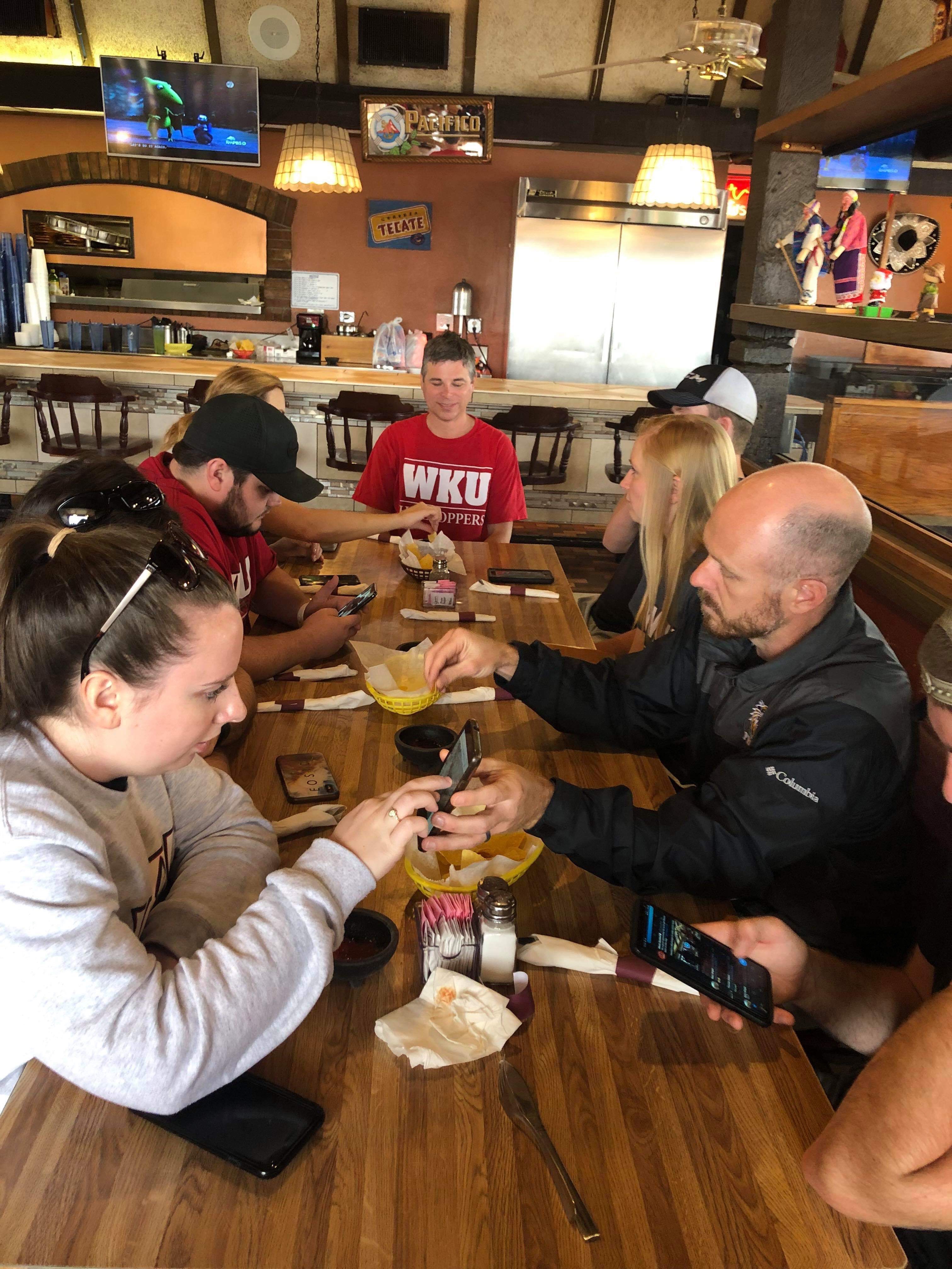
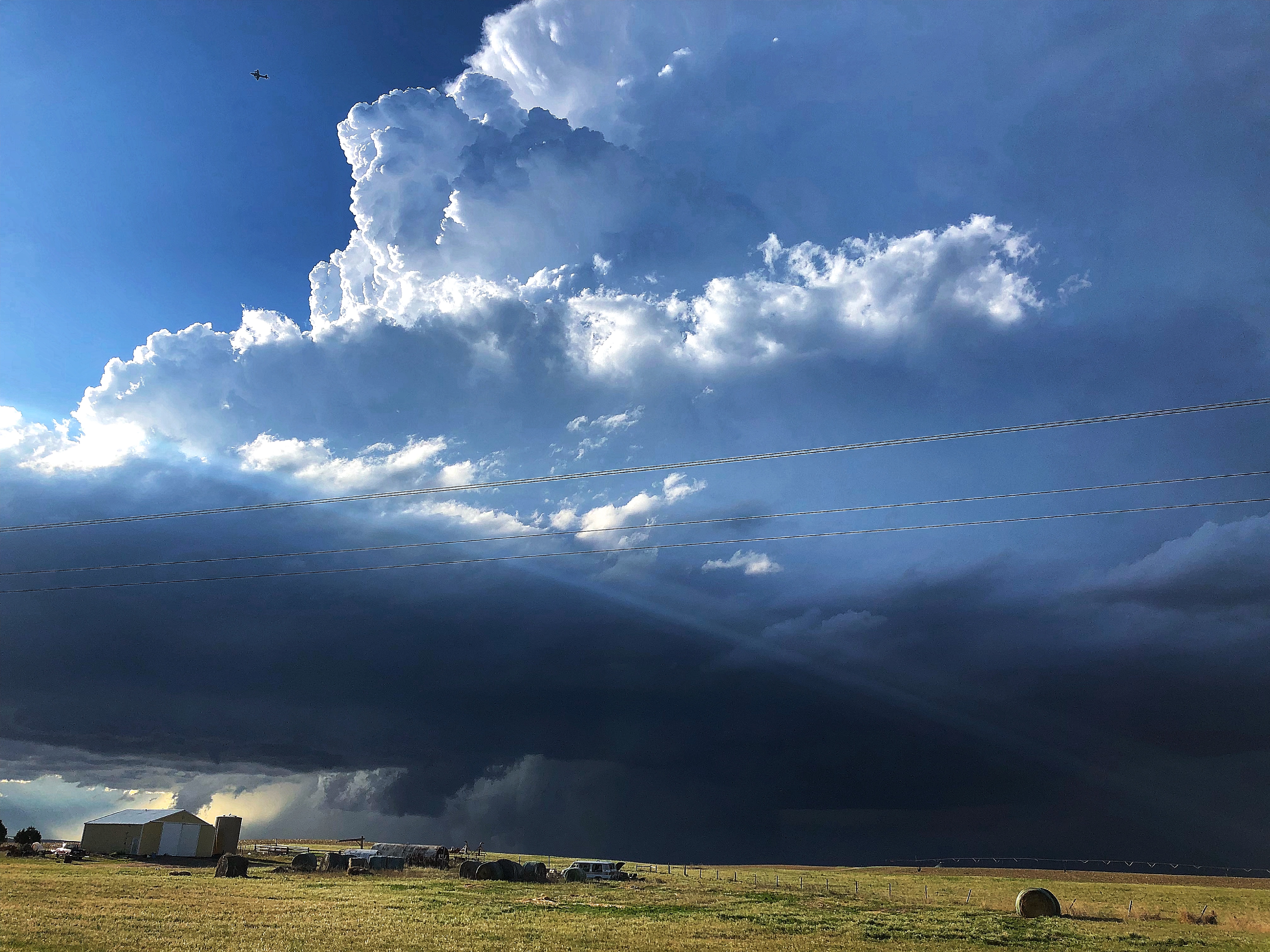
The team left the hotel and stopped to eat lunch at Mi Ranchito in Sterling, CO. Things started getting a little hectic as a storm fired up around the Denver International Airport and began moving northeastward while we were waiting for our lunch. The team made the decision to take our lunch to-go and eat it on the road. The team made its way southwest towards Fort Morgan, CO to watch an awesome rotating supercell produce a wall cloud and a few funnels.
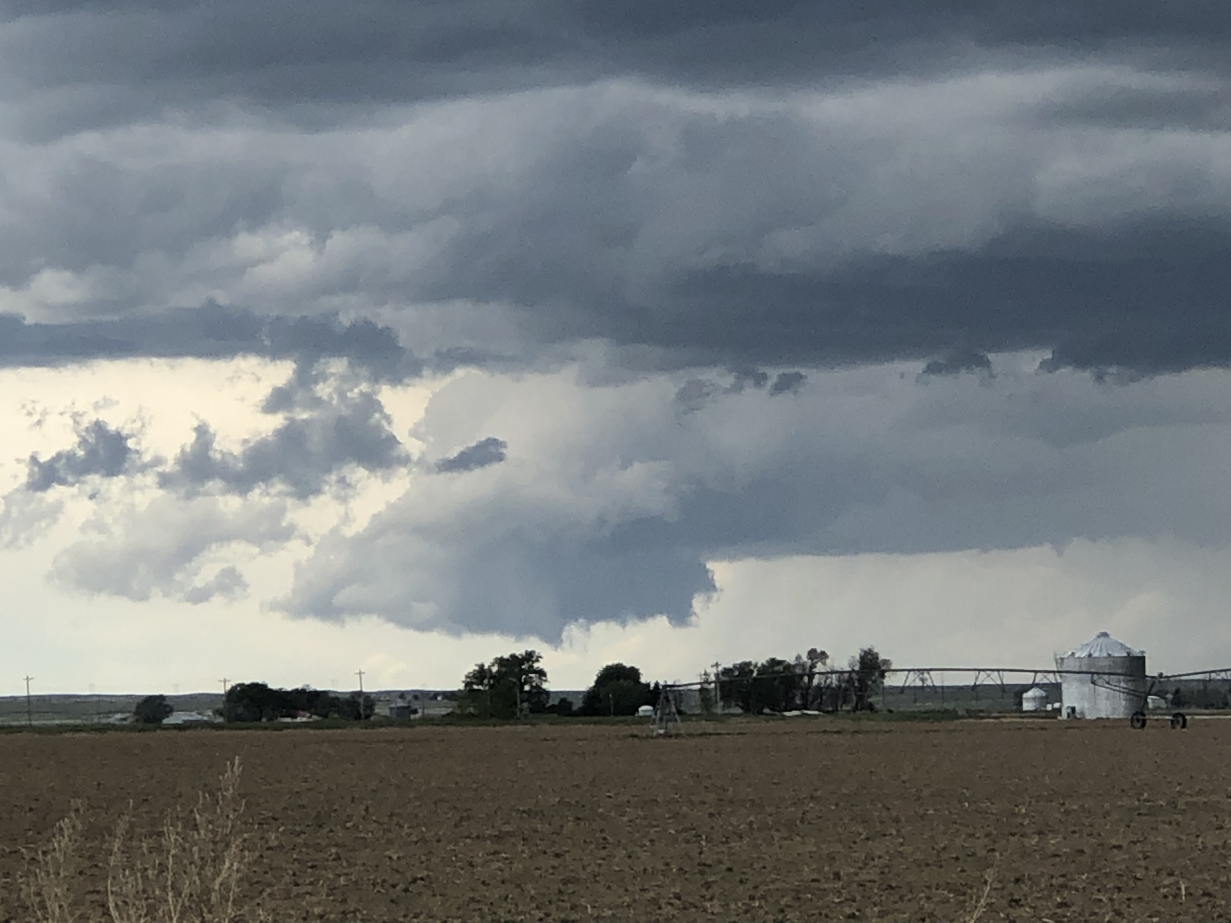
The team continued tracking the supercell as it moved northeastward along the I-76 corridor. The storm produced multiple gustnadoes, sucking up all the dirt and dust in the farm fields. This storm continued to move across the Colorado landscape giving us a lot of opportunities to take some photos of its jaw-dropping structure.
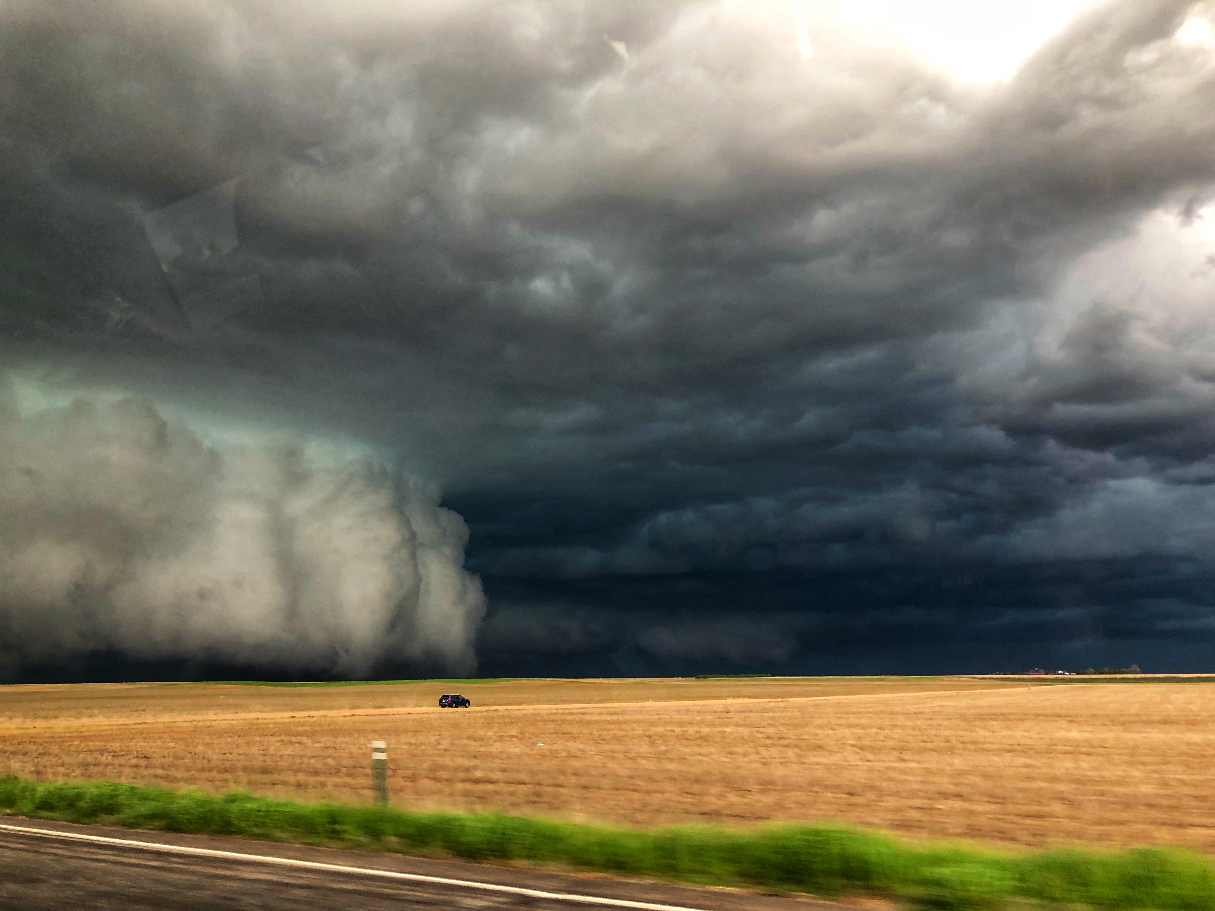
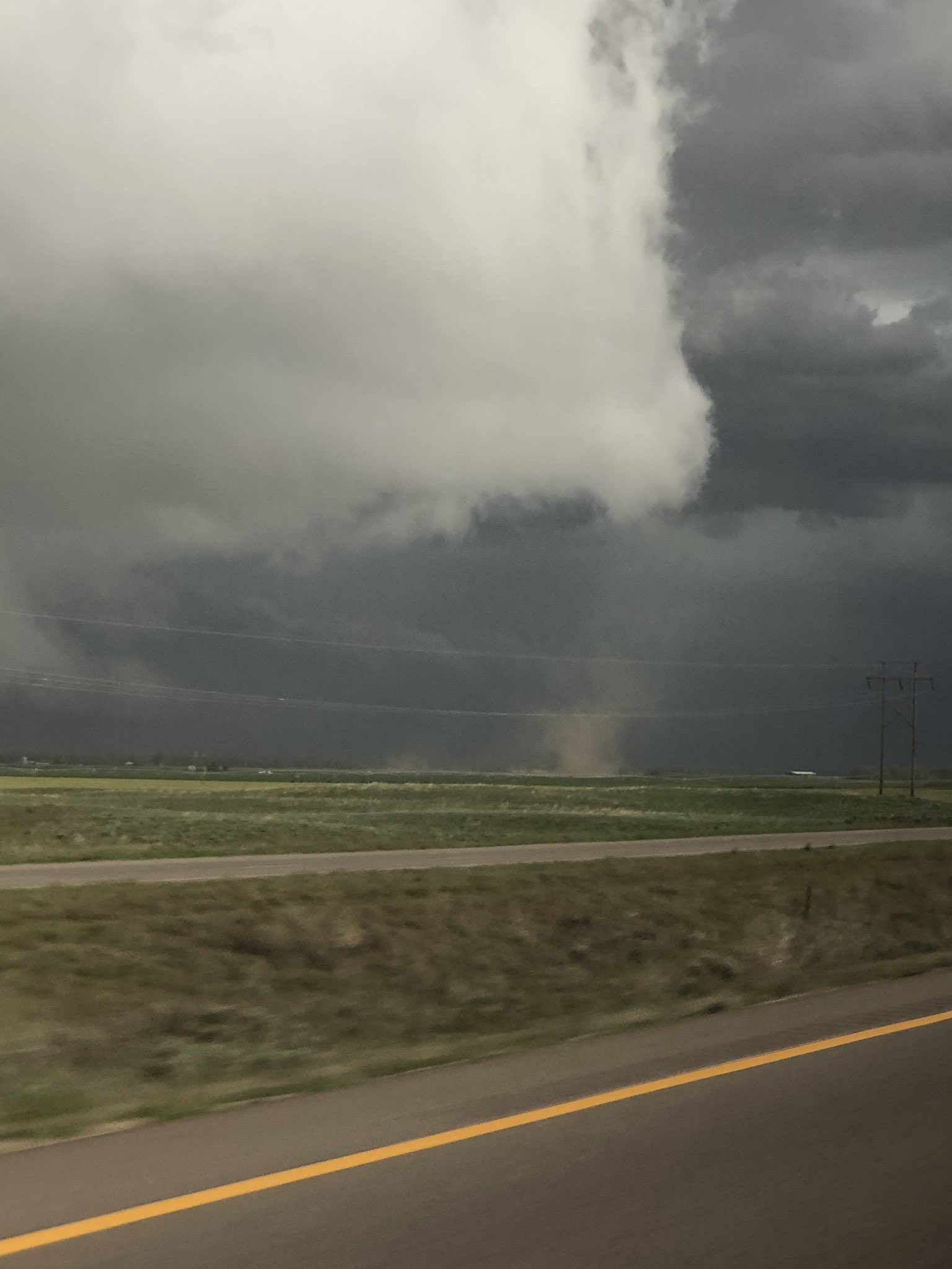
As roads became limited in extreme northeast CO, the team decided to track another storm that developed off to the southwest. The second storm we tracked also an amazing beast. We stopped on the side of the road just to the south of Holyoke, CO and captured some amazing photos of the storm while it produced a brief, not fully condensed tornado.
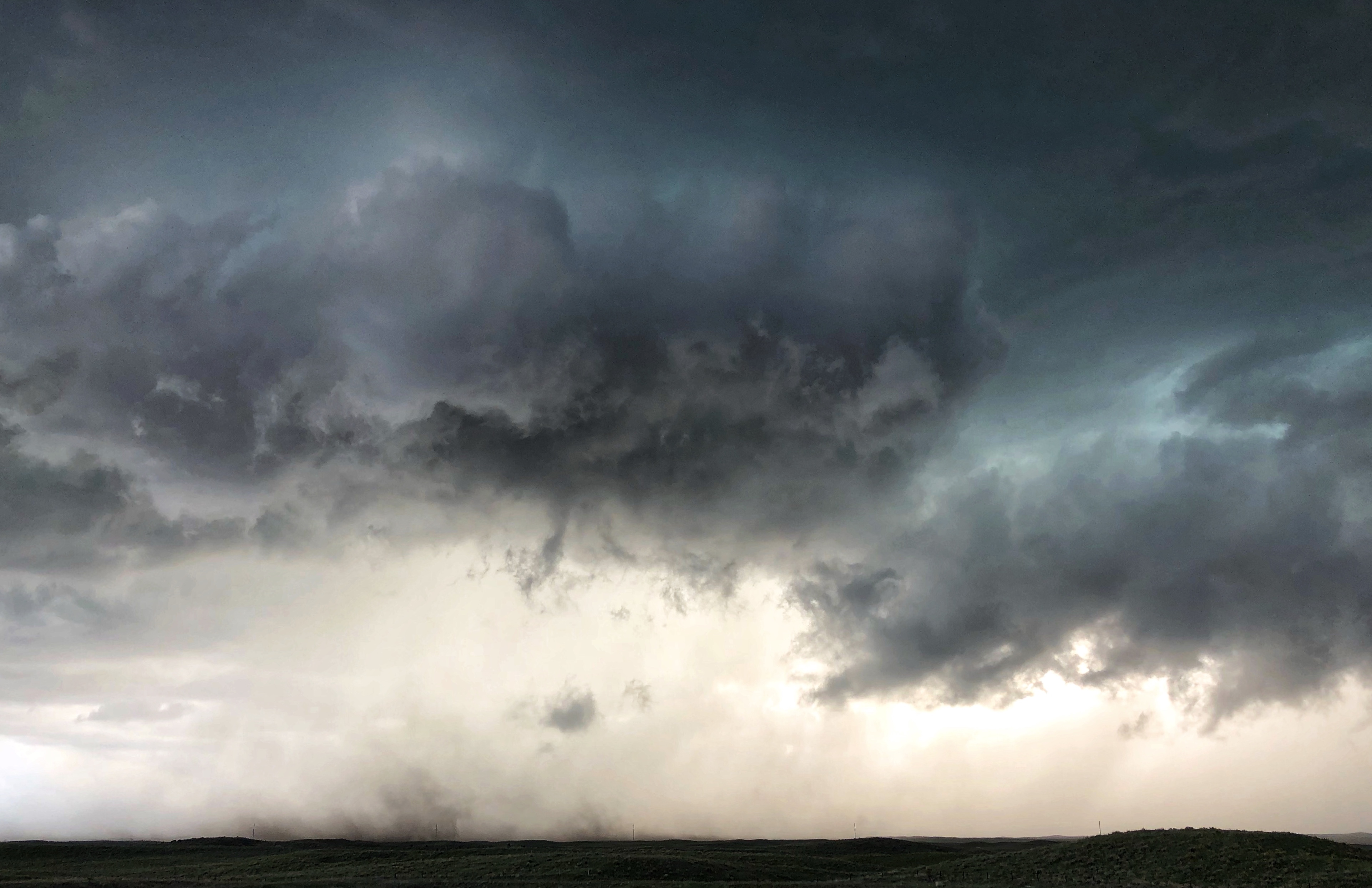
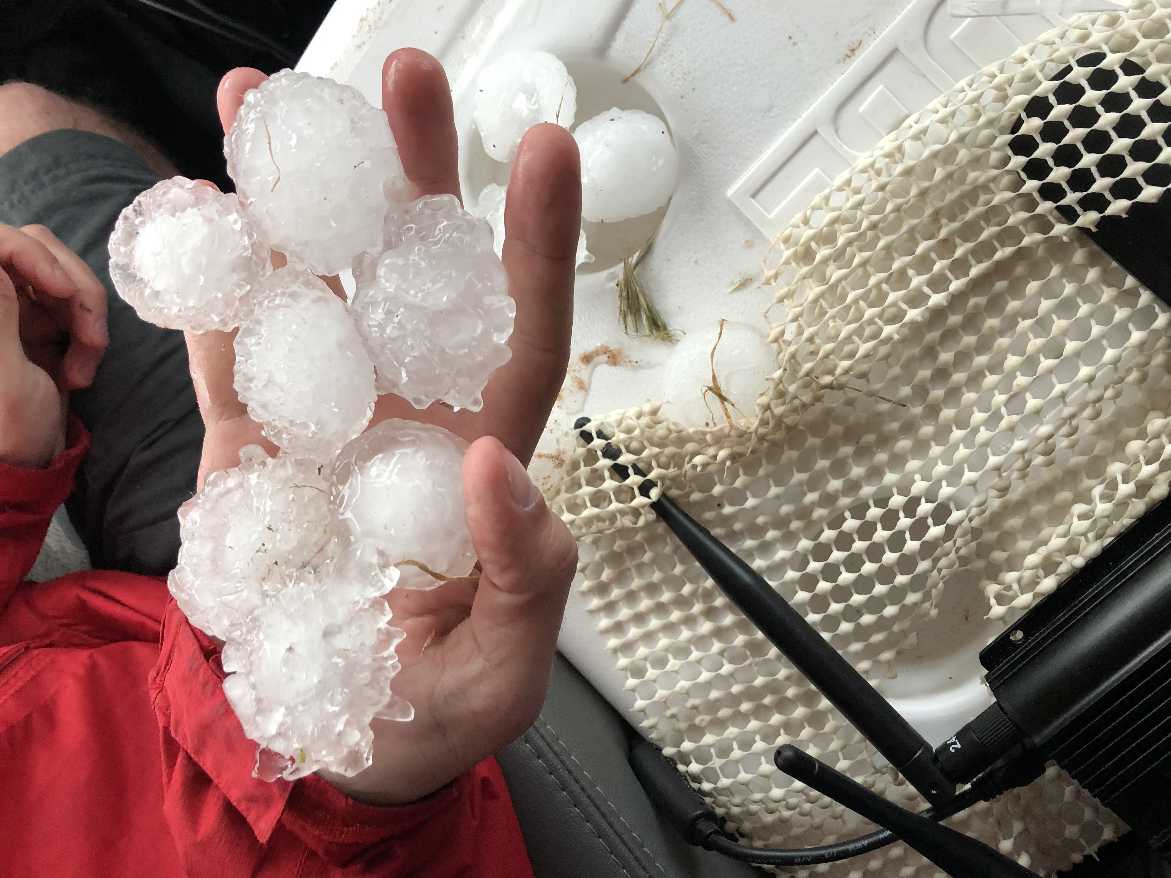
The team continued to track the supercell as it moved eastward across eastern Colorado and eventually into western Nebraska. The team continued to capture some amazing photos of this epic storm as it moved across the open land. This storm produced a lot of large hail that blanketed the landscape, almost like it snowed. The largest hailstone we found was 2.50 inches in diameter!
The team continued onward, crossing the border into western Nebraska tracking the same severe thunderstorm which produced a fantastic lightning show after sunset.
What a day the WKU Storm Chasers had!! We saw two tornadoes, experienced strong winds, saw a bunch of large hail, and some amazing structure across eastern Colorado and western Kansas. We safely arrived in North Platte, Nebraska where we enjoyed dinner at Applebee’s!
Please continue following our adventures across the Great Plains on Twitter @wkustormchase.