
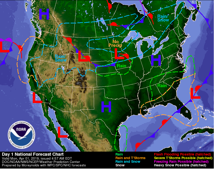
A cold front has moved through this past weekend bringing back much cooler temperatures. Fortunately, we will see temperatures back in the 70’s by mid week. We will also see lots of sunshine for the start of the work week, thanks to a high pressure system currently sitting on the northern KY/ Ohio state line. Plan for this high pressure system to move out relatively quick before another moves in from the south (currently located in Texas).
As for today, expect another chilly day filled with sunny skies. Tuesday we will warm a bit getting back into the lower 60’s. We will stay clear until mid week when the next low pressure system, bringing rain, makes its way back into our region. The only issues there could be moving into tomorrow is the formation of frost. As dew point readings are expected to be in the mid 30’s tonight and the low likely to be in the lower to mid 30’s, frost is possible. Remember to protect any plants/flowers that may be important to you.
FORECAST
Today (4/01): Mostly sunny and chilly
High: 54
Low: 34
Tonight: Mostly clear with frost formation possible overnight
Tuesday (4/02): Mostly sunny and warmer
High: 62
Low: 39
Tuesday Night: Mostly clear