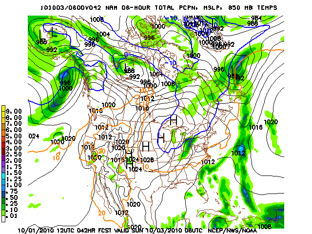
The low pressure system that brought the cold front through our area is now located over New York, and both the NAM and the GFS are expecting it to slowly drift over New England for the next couple days, dropping several inches of rain throughout the region as the first Nor’easter of the season.
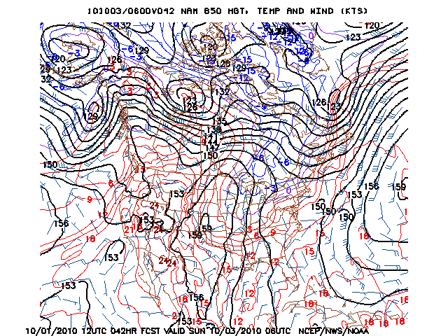
Meanwhile, the Ohio River Valley remains in the same drought conditions that have been affecting it for the past few months, with no sign of a drought-busting precipitation event anytime soon. Over the past few days, a large ridge has built up over much of the western half of North America, bringing predominantly dry conditions to much of the country. This will translate to mostly sunny skies over the weekend, with temperatures rising into the mid 70’s…still slightly above average for this time of year, but still a remarkably pleasant weekend.
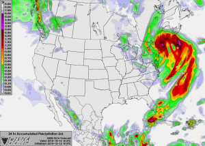
NAM 24HR Precip, 15 October 2010