Staying Dry for the Start of the Week

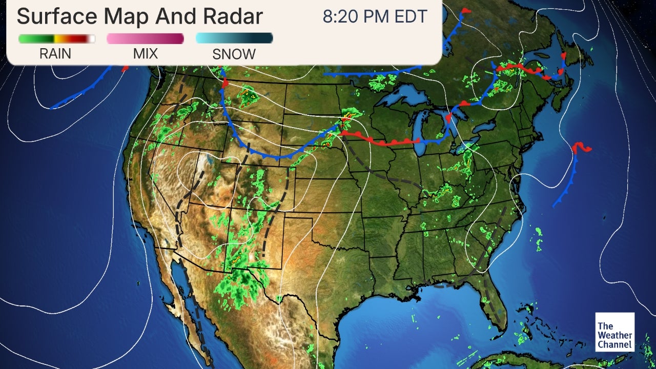
As seen from GOES-16 (below), mostly cloudy skies are dominating right now as there is some light rain to our south (in the Nashville area). Expect this rain to remain to our south and move out by early this afternoon. This will allow for some sun to break through the clouds and bring some needed sunshine.

GOES-16 Visible/ Shortwave IR

As for the next few days, expect Bowling Green to stay dry until mid week (Wednesday night), when our next rain event moves in. A high pressure system is making its way down from northern Iowa and will end up in the Ohio valley by tomorrow morning. Expect clouds to decrease as we move through the day today, leaving mostly clear skies tonight. With a high pressure system set to be in place tomorrow, we can enjoy mostly sunny skies and high’s in the upper 50’s. Enjoy the mild temperatures and sunny skies the first half of the week before rain and colder temperatures find their way back into south central Kentucky.

FORECAST

Today (3/11): Mostly cloudy now with clouds decreasing as the day carries on. By the afternoon we will have partly cloudy skies
High: 56
Low: 34
Tonight: Mostly clear

Tuesday (3/12): Mostly sunny and mild
High: 58
Low: 45
Tuesday Night: Mostly cloudy

Posted in Kentucky Weather | Comments Off on Staying Dry for the Start of the Week

Stratus Sunday

Our weekend is going to reach a cloudy conclusion for our Sunday. With the cold front’s passing, highs for us will be a bit cooler in the mid-upper 50’s, and the lows in the lower 40’s.

13Z SFC Observations (Source: College of DuPage)

With a strong high pressure system over Kansas, today and tomorrow will be quite uneventful for the mid-South; however, that doesn’t mean we will see any considerable sunshine. Monday will also see some considerable cloudiness, with highs in low 50’s, and lows in the lower 40’s. Tuesday might see some cloudiness as well, with highs in the upper 50’s, and lows in the upper 30’s.

Forecast:

Sunday: Cloudy; High: 57, Low: 42

Monday: Cloudy; High: 53, Low: 41

Tuesday: Cloudy; High: 59, Low: 37

Posted in Kentucky Weather | Comments Off on Stratus Sunday

Severe Storm Saturday with Daylight Savings Return

Now it may be a bit chilly for severe weather right now, but a warm front will pass through as seen below, giving us a more ideal set up for severe weather.

13Z Surface Observations (Source: College of DuPage)

With considerable warming for the mid-South, those down in Bowling Green are looking at a slight risk for severe weather, along with central Tennessee. Western Tennessee is looking at an enhanced risk for severe weather, along with Northern Mississippi and places in Arkansas and Missouri. For more information regarding these risks, see this website.

Day 1 Convective Outlook (Source: SPC)

Even as I type this out, severe weather is making its way through Arkansas. Below is a simulation of the reflectivity one might encounter in the areas that have been marked as an enhanced severe weather area.

12Z HRRR Simulated Reflectivity (Source: College of DuPage)

The map above indicates that any severe weather will be structured as a squall line, which is stimulated by a front, usually a cold front. It will be a bit cooler when the storms pass through the area. As with any severe weather day, there is always a lookout for tornadoes.

12Z HRRR Significant Tornado Parameter (fixed layer) (Source: College of DuPage)

The above map outlines environments that are conducive to tornadoes. As such, they can be seen in Western Tennessee and Mississippi. May I ask that you please heed the warnings that the National Weather Service in your area issues. With all of that said, highs for the Bowling Green area will be in the mid-upper 60’s, and lows in the mid 30’s for Saturday. Despite some clearing for the early morning, Sunday will be mostly cloudy, with highs in the upper 50’s, and lows in the lower 40’s. Monday is also cloudy, with highs in the mid 50’s, and lows in the lower 40’s. Before you go to bed on Saturday, you must know that you will lose an hour of sleep. Daylight Savings Time will return tomorrow.

Forecast:

Saturday: 100% chance for thunderstorms, maybe severe; High: 67, Low: 36

Sunday: Mostly Cloudy; High: 58, Low: 41

Monday: Cloudy; High: 55, Low: 40

Posted in Kentucky Weather | Tagged , | Comments Off on Severe Storm Saturday with Daylight Savings Return

Unsettled Weather Returns

It sure was a chilly start to the day today- we woke up to a balmy 18 degrees and clear skies. It should warm up some by the weekend (relatively speaking, however) at the expense of additional rain. For an area that has already received an abundance of rain in the past month, this isn’t great news. Flooding could be a concern again, mainly in the areas we have already seen have issues.

The run of the GFS above shows two shots of rain by the weekend, one Friday and the other on Saturday. This system moving in on Saturday is one to keep an eye on, however, for severe storm potential. As we transition to Spring and practice tornado safety with the tornado drills we had across the state earlier today, this system seemingly comes right on time! In a few days, we can narrow down the specifics- but the chance for severe weather in the Ohio valley and south seems legit for this weekend.

SPC Day 4-8 Outlook

Here is the NWS SPC’s Day 4-8 outlook for severe weather. Day 4 being Saturday, they highlight a large region across the Midwest and South to show the potential for bad weather. This is something to monitor as Saturday draws closer, especially if you have any Spring Break travel plans across the area. Stay up to date with our blog for more on the severe threat this weekend!

Posted in Kentucky Weather | Comments Off on Unsettled Weather Returns

Not Exactly Spring Break Weather!

Honestly as cold as Bowling Green was today, I am jealous! Bowling Green got to see a high of 34° while Louisville’s high was 28°. Currently it’s 34° (feels like 24°) in Bowling Green while Louisville it is 26° (feels like 14°). Thank goodness temperatures will get warmer as we push through the week.

Today’s Surface

A high pressure system is laying in the center of the continental US that will makes its way into our area tomorrow and leave out Thursday night. There’s not much going on weatherwise for today through Thursday other than the gradual increase in temperature. There is a chance for rain Thursday night as a front sweeps through the area.

Forecast valid Wednesday 12Z
Wednesday’s Surface Outlook
Forecast valid Thursday 12Z
Thursday’s Surface Outlook
  • SUMMARY:
  • Tuesday:
    • High: 34°
    • Low: 15°
    • Try not to freeze!
  • Wednesday:
    • High: 36°
    • Low: 24°
  • Thursday:
    • High: 48°
    • Low: 35°
    • Rain chances are possible Thursday night.

I hope everyone has a fun, safe spring break!

Posted in Kentucky Weather | Comments Off on Not Exactly Spring Break Weather!

Winter Temps Return Backed With Lots of Vitamin D

Chilly start this morning and expect little change as highs will only top out near 28 degrees today. Luckily, a high pressure system can be seen moving into our region from the west (below). This will allow for some much needed sun over the next several days. Unfortunately for us today, cold air advection will continue moving in from the northwest following the cold front that brought brief snow showers to our area yesterday. To add to the temperatures, winds could make it feel in the teens this afternoon and tomorrow. Be cautious if you plan to be outdoors for longer periods of time today or tomorrow, as frostbite and hypothermia are real dangers.

As for the next couple of days, expect a similar pattern as today. As described yesterday, zonal flow is dominating our region leaving us “high and dry” for the next few days. Moving to Tuesday, it will remain mostly sunny for the day with high’s slightly warmer near 35 degrees. Winds will pick up more tomorrow, so the dangers of hypothermia and frostbite will stick around for your Tuesday, too.

FORECAST

Today (3/04): Mostly sunny and cold. Winds from the north/northwest can make temperatures feel much colder than they are.
High: 28
Low: 14
Tonight: Mostly clear and cold


Tuesday (3/05): Mostly sunny and cold. Winds could make wind chill values feel in the single digits.
High: 35
Low: 17
Tuesday Night: Clear and cold

Posted in Kentucky Weather | Comments Off on Winter Temps Return Backed With Lots of Vitamin D

Spring Break Starters

For those who left the Bowling Green area for Spring Break, enjoy! For those in Bowling Green, I have some news for you regarding the rains for your Sunday.

15Z SFC Observations (Source: College of DuPage)

The rains will be out of our way in the afternoon, bringing in needed sunshine, but it will be cold. With the jet stream (as seen below) positioned as such, the next few days will be quite uneventful.

300mb Jet Stream (Source: SPC)

Highs for Sunday will be in the mid 30’s and lows will be chilly in the upper 20’s. With the jet stream having a zonal flow, Monday will get to see some sunshine. Highs for Monday will be chilly in the lower 30’s and lows in the lower 20’s. Tuesday could possibly see some clouds with our sunshine, with highs in the lower 30’s and lows in the upper teens. If you’re going to be out for the next few days, be sure to dress appropriately.

Forecast:

Sunday: 50% chance of Snow showers for the day, clearing overnight; High: 38, Low: 26

Monday: Sunshine, Cold; High: 33, Low: 21

Tuesday: Sun and clouds, High: 31, Low: 18

Posted in Kentucky Weather | Comments Off on Spring Break Starters

A Cold Beginning for March

For our early Saturday morning, we currently have some foggy conditions for the Bowling Green area. Please use caution when driving this morning. As with any fog event, it will all clear up later in the morning.

11Z SFC Observations (Source: College of DuPage)

Saturday will be cloudy and uninteresting, with highs in the upper 40’s and lows in the mid-lower 30’s. However, it looks as if we’ll get to see some chances for snow for our Sunday.

6Z GFS Precipitation Type (Source: College of DuPage)

Now Sunday will start off cloudy, and then around 9am, we will possibly see a rain/snow mix, and will possibly transition to only snow later in the day. Highs for Sunday will be in the low 40’s and lows will be in the lower 30’s as a cold front passes. With that in mind, it will be a very cold Monday, with highs in the upper 20’s, with lows in the upper teens. It will be a mostly sunny day.

Forecast:

Saturday: Cloudy, with morning fog; High: 49, Low: 36

Sunday: 80% chance for Rain/Snow mix in the morning, Snow in the afternoon, High: 41, Low: 30

Monday: Sunny; very cold, High: 29, Low: 17

Posted in Kentucky Weather | Comments Off on A Cold Beginning for March

A Pleasant Saturday Before the Rain Chances Increase

Good evening folks!

A weak area of low pressure at the surface is racing from towards the east as we move into the early hours on Friday morning. The light drizzle should come to an end heading into Friday, chillier temps will follow as the Bowling Green will be under a thick blanket of clouds. Low tonight will drop into the middle 30s. Quite a gloomy day will be on tap as we turn the calendar to March(start of Meteorological Spring) as thick cloud cover stays overhead, this will keep our temperatures into the middle 40s. A few patches of light drizzle could perhaps linger around the area during the day.

Another fast moving shortwave trough will move through the region keeping the cloud cover around the area heading into Friday night and Saturday morning. Low temperatures on Friday night will drop back down again into the middle 30s. Clouds will stick around for Saturday but some areas could experience a few peaks of sunshine throughout the day, highs will rebound a little bit approaching the 50 degrees.

An active pattern will setup across the region during the Sunday and Monday time frame as a quick moving mid-level disturbance moves through the Ohio River Valley. This mid-level disturbance is forecasted to strengthen and develop a surface that will move quickly through the southeast. A large fetch of moisture will be present as southerly flows moves up from the south combined with increasing synoptic scale lift will result in a broad area of precipitation.

Model guidance continues to push for mostly rain for the Bowling Green area, but as we move into the Sunday time frame we could see a some light snow showers.

Cold air is forecasted to settle into the region next week as a large area of high pressure settles in from the north. Tune into White Squirrel Weather and the WKU Meteorology blog for further updates.

Tonight: Cloudy, with a low around 35. North wind around 5 mph.

Friday: Cloudy, with a high near 45. North wind around 5 mph.

Friday Night: Mostly Cloudy, with a low around 35.

Saturday: Mostly cloudy, with a high near 52, calm winds.

Posted in Kentucky Weather | Comments Off on A Pleasant Saturday Before the Rain Chances Increase

Island in the Sun

Much like the Weezer song, we have felt like an island in the sun for the last couple of days. A much needed relief from the cold and rain. Right now Bowling Green is sitting in second place for its wettest February with 11.08″. It is only being beat out by 1989 with 11.27″. Even with rain potentials Thursday, it doesn’t look like we’ll have enough to break the record. For now we’ll just have to enjoy our little island in the sun.

Taking a look at the surface map, a stationary front is lying on top of us. It along with southerly winds, and a high pressure center that was over us Tuesday helped provide some warm, dry air.

Heading into late Wednesday night there is a small chance for rain, but it should miss the area if it comes down at all. Overall it will be very similar to today. In fact, it should be warmer!

Unfortunately Thursday is where things turn ugly!

The Wednesday evening surface forecast shows a cold front that will go across the area Thursday bringing with it some rain. Temperatures will drop to the low 50s so make sure to have a jacket with you! The rain associated with the system will drop around a tenth of an inch, which again wont get us past that record.

  • SUMMARY:
    • Tuesday:
      • High: 61
      • Low: 38
      • Enjoy the sun!
    • Wednesday:
      • High: 65
      • Low: 41
      • Our last sunny, warm day for a bit so go out and enjoy it!
    • Thursday:
      • High: 53
      • Low: 42
      • A 50% chance of rain Thursday and Thursday evening.

Have a good week and stay safe!

Posted in Kentucky Weather | Comments Off on Island in the Sun