Cool Weekend Ahead

I have been waiting for nearly a month for this kind of fall weather to show up. Fall temperatures finally came here for a significant amount of time! It’s has been welcome, fall is a beautiful time of year.

Forecast Map 11-11-16

Forecast Map 11-11-16

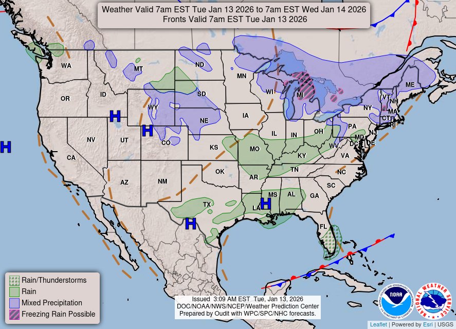
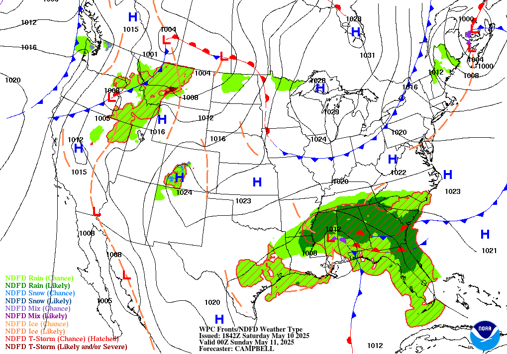
As for today, a cold front is going to pass through Kentucky, keeping the region in cooler temperature. This front is being fueled by a low pressure system in Oklahoma. The high pressure in North Dakota is going to push the cold front to the south and set Kentucky in high pressure during the weekend.

Forecast Map 11-12-16

Forecast Map 11-12-16

Saturday is going to be very calm because of this high pressure. The cold front has moved on into the Gulf of Mexico. Saturday is also going to be very cool.

11-13-16 Forecast Map

11-13-16 Forecast Map

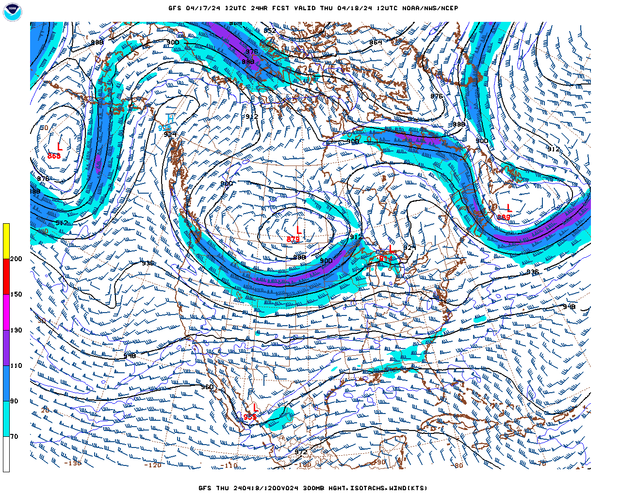
Going into Sunday is when Bowling Green will see some rain chances. The model runs are putting Kentucky in the very center of a ridge in the upper atmosphere, this explains the high pressure.

The weekend numbers are as follows:

Today: Clear sunny skies with a high of 64. Low of 36. Frost i very possible in localized areas, cover your plants if they’re shaded.

Saturday: High of 56. Colder by 8 degrees, significant differnce between just two days. Possible low of 31, this is the day that frost will be most likely. Clear skies

Sunday: Rain chances as it warms up slightly to a possible high of 61. Low of around 40 degrees.


I will be back for the final time in early December! As always if something interesting I want to write about is happening I will write about it in a special blog post! In the meantime have a fantastic rest of your November! Thanks for reading.

Posted in Kentucky Weather | Comments Off on Cool Weekend Ahead

Finally Feels Like Fall

Wednesday is shaping up to be a beautiful fall day. Sunny and cool like fall is suppose to be! The jet stream is ridging northwest of Kentucky leaving the state in high pressure. Winds from due north are bring the cooler temperatures that should be persistent for the rest of the week

WPC Forecast Map 11-9-16

WPC Forecast Map 11-9-16

The entire state isn’t out of the clear yet, however. Far east counties in Kentucky could have some rain today as the remnants of the cold front that passed through fizzle out.

Rain chances are nearly zero for the rest of the week, however another cold front will pass through toward the end of the week. I will elaborate more on that Friday and discuss any rain chances it may bring.

I like numbers, do you like numbers?

Today: As of writing this, the KY Mesonet has Warren County sitting at 54 degrees, possible high of 59. Tonight’s low is 34 degrees. Frost is a big possibility in local areas.

Tomorrow: High of 63 degrees. Warmer tomorrow compared to today, but not by much. Low of 40.

Friday I will discuss possibility of freezing temperatures for your weekend as well as the rest of the weekend forecast.

Thanks for reading.

Posted in Kentucky Weather | Comments Off on Finally Feels Like Fall

Election Day Forecast, Cooler Week Ahead

As the weekend came and went, temperatures dropped to what they usually are this time of year. We are finally seeing some fall weather and hopefully it is here to stay.

WPC Forecast Map 11-7-16

WPC Forecast Map 11-7-16

Aloft, the wind patterns are very scattered. Jet streaks to our northwest and northeast leaving Kentucky in a center of high pressure. As time goes on however, the winds we receive will come steadily from our northeast and cool our temperatures down around Thursday. I will discuss that more in depth on Wednesday.

As for today, our weather couldn’t be nicer.

We have a cold front far out to our northwest that will bring rain to the Great Plains region and will possibly bring rain to us tomorrow. High pressure in New England.

As for the numbers:

Today, possible high of 74 with a low of 48. Clear to partly cloudy skies.

Tomorrow, our rain chances increase due to that cold front, and we do cool down a bit. Possible high of 68 with a low of 47.

Wednesday and Thursday is when our wind patterns are expected to steady out with winds from the northeast.


Thank you for reading and don’t forget to vote tomorrow! I will see you Wednesday.

Posted in Kentucky Weather | Comments Off on Election Day Forecast, Cooler Week Ahead

Weekend Outlook

The weather looks to be cool and calm throughout this weekend, thanks to widespread high pressure that covers almost the entire continental US. Temperatures will dip into the 40’s during the nights, but will rebound during the day to more comfortable temperatures hovering around 70 degrees. Winds will remain calm, and the skies will remain clear or mostly clear through out the weekend. However, we may experience some fog later tonight and early Saturday morning.

noaa

Tonight: Patchy fog after 5am. Otherwise, clear, with a low around 40. North wind around 5 mph becoming calm in the evening.

Saturday: Areas of fog before 8am. Otherwise, sunny, with a high near 68. Calm wind becoming northeast around 5 mph in the afternoon.

Saturday Night: Mostly clear, with a low around 41. Calm wind.

Sunday: Sunny, with a high near 70. Calm wind becoming east around 5 mph in the afternoon.

Sunday Night: Mostly clear, with a low around 44. Calm wind.

Posted in Kentucky Weather | Comments Off on Weekend Outlook

Warm Weekend in Ohio Valley

Persistent heat across much of the central US and the Ohio Valley region is continuing into the weekend and beyond, unfortunately. This means a warm weekend for Bowling Green and a warm start to our work week next week. It appears a stubborn upper-level ridge is over the area and will remain over the next several days. A warm start to November appears likely with no help in the precipitation department either.

The below maps from the NAM show the ridge in place over the Ohio Valley region:

500 hPa heights, winds, and wind vectors, valid 18 Z Saturday - Courtesy - Pivotal Weather

500 hPa heights, winds, and wind vectors, valid 18 Z Saturday – Courtesy – Pivotal Weather

The resultant warm air mass can be seen below with temperatures well into the 80s across a good portion of the country by 4 PM CST.

2 m temperatures, MSLP, and wind vectors valid for 21 Z Saturday - Courtesy - Pivotal Weather

2 m temperatures, MSLP, and wind vectors valid for 21 Z Saturday – Courtesy – Pivotal Weather

The map below is our setup for Sunday and reveals a shortwave moving through the mid-level flow, but offers little drops in temperatures and no reasonable chances for rain.

500 hPa heights, winds, and wind vectors, valid 18 Z Sunday - Courtesy - Pivotal Weather

500 hPa heights, winds, and wind vectors, valid 18 Z Sunday – Courtesy – Pivotal Weather

Moving into Halloween and the beginning of next week remains warm. This notion can be seen in 500 hPa anomaly maps, courtesy of the GFS, seen below:

500 hPa anomaly, valid 12Z Monday - Pivotal Weather

500 hPa anomaly, valid 12Z Monday – Pivotal Weather

The anomalous heights help to represent geopotential heights values above climatic averages for a particular time of year and latitude. This, in short, helps to reveal where a warm air mass is in place underneath an upper-level ridge, or upper-level high. Troughs are often seen in the blue regions where colder air is in place.

Despite the warmth, it is usually confined to the afternoon hours, evening temps drop off quickly if skies are clear.

Overall, expect these conditions:

Saturday: Highs in low to mid 80s, clear skies. Lows in upper 50s and around 60.

Sunday: The same, increasing clouds possible in evening with shortwave passage.

Halloween Monday: The same, decreasing clouds.

Tuesday: The same.

Boring weather is okay though, right? Hopefully, however, pattern changes result in more expected temperatures, and bring some precipitation to our dry region.

Otherwise, have a great weekend!

Posted in Kentucky Weather, U.S. Weather | Comments Off on Warm Weekend in Ohio Valley

GOES-R Launch -> November 16th

GOES-R Logo Courtesy NASA

GOES-R Logo Courtesy – NASA

The long awaited, highly anticipated, and highly advanced GOES-R is finally about to make its departure from earth’s surface to an orbit of around 22,500 miles up. After several delays throughout the product’s development, NASA, United Launch Alliance (ULA), and the US Air Force (USAF) have agreed on a new launch date and time of 16 November 2016 at 2142 UTC.

GOES-R will be the next launch in the weather and observation satellite category in over 6 years and will be a huge leap forward in weather forecasting and monitoring. Currently we have three Geostationary Operational Environmental Satellites (GOES) in operation:

  1. GOES-13 (aka GOES-N) (GOES-East) – Launched 24 May 2006
  2. GOES-14 (aka GOES-O) – Launched 27 June 2009
  3. GOES-15 (aka GOES-P) (GOES-West) – Launched 4 March 2010

GOES-13, operating as GOES-East, in the eastern part of the constellation at 75 degrees west longitude and GOES-15, operating as GOES-West, at 135 degrees west longitude. GOES-14 remains in storage positioning at 90 degrees west latitude and offers Super Rapid Scan Operations (SRSOR) during severe weather, which provides 1-minute interval visible satellite imagery.

The GOES-R series, which will be R, S, T and U, will maintain the two-satellite system implemented by the current GOES series. However, the locations of the operational GOES-R satellites will be 75 degrees west longitude and 137 degrees west longitude. The latter is a shift in order to eliminate conflicts with other satellite systems. The GOES-R series operational lifetime extends through December 2036.

Courtesy Lockheed

Courtesy – Lockheed

GOES-R offers a wide variety and future expanding product list, at much higher spatial and temporal resolution than any prior GOES satellite:

ADVANCED BASELINE IMAGER (ABI)
Aerosol Detection (Including Smoke and Dust)
Aerosol Optical Depth (AOD)
Clear Sky Masks
Cloud and Moisture Imagery
Cloud Optical Depth
Cloud Particle Size Distribution
Cloud Top Height
Cloud Top Phase
Cloud Top Pressure
Cloud Top Temperature
Derived Motion Winds
Derived Stability Indices
Downward Shortwave Radiation: Surface
Fire/Hot Spot Characterization
Hurricane Intensity Estimation
Land Surface Temperature (Skin)
Legacy Vertical Moisture Profile
Legacy Vertical Temperature Profile
Radiances
Rainfall Rate / QPE
Reflected Shortwave Radiation: TOA
Sea Surface Temperature (Skin)
Snow Cover
Total Precipitable Water
Volcanic Ash: Detection and Height
GEOSTATIONARY LIGHTNING MAPPER (GLM)
Lightning Detection: Events, Groups & Flashes
SPACE ENVIRONMENT IN-SITU SUITE (SEISS)
Energetic Heavy Ions
Magnetospheric Electrons & Protons: Low Energy
Magnetospheric Electrons & Protons: Med & High Energy
Solar & Galactic Protons
MAGNETOMETER (MAG)
Geomagnetic Field
EXTREME ULTRAVIOLET AND X-RAY IRRADIANCE SUITE (EXIS)
Solar Flux: EUV
Solar Flux: X-ray Irradiance
SOLAR ULTRAVIOLET IMAGER (SUVI)
Solar EUV Imagery

Quick and interesting facts:

  • GOES-R satellites will be in a geostationary orbit 22,500 miles above the Earth, always looking down and monitoring the U.S. and western hemisphere.  
  • GOES-R will transmit more data in the first six months of operation than all previous GOES weather satellites combined.
  • The Geostationary Lightning Mapper will be the first operational lightning mapper flown in geostationary orbit.
  • GOES-R will continue its important role in the Search and Rescue Satellite-Aided Tracking (SARSAT) system which has contributed to the rescue of thousands of individuals in distress.

For more detailed and interesting information on GOES-R, check out these great websites on its future products, and the future GOES family satellites:


Posted in U.S. Weather | Tagged , | Comments Off on GOES-R Launch -> November 16th

Warm Weather Trend Continues

Its a story that never seems to end,

But warm weather is still in the trend.

Maybe someday that cool air will come down,

And make a smile, from a persistent frown.

  –  Alex Sizemore

Regardless of my poor poetry skills, warmer weather is in the forecast this upcoming week. Currently, high temperatures are expected to be in the low to mid 70s for the entire work week and into the weekend. However, this time of year favors larger diurnal temperature ranges (if clear skies). So despite the somewhat warm weather in the hi-temp department, things cool off quickly in the evenings and over night hours with temps in the upper 40s and  50s, for the most part.

Evidence of the warmer weather over most of the country can be seen in our upper-air pattern. Below is GFS model guidance showing the Ohio Valley just downstream of a ridge of high pressure, which has an axis just to our west. Height anomalies also suggest this as well as heights are greater in magnitude for this time of year across most of the country.

GFS 500 hPa winds, heights, and anomaly - Pivotal

GFS 500 hPa winds, heights, and anomaly – Pivotal

In addition to being warm, it has also been dry for our area. A seemingly drenched summer took little time to turn into a relatively dry autumn for much of the state. With little precipitation over the past few weeks, we have now fallen into abnormally dry conditions.

Latest drought conditions for KY - Courtesy US Drought Monitor

Latest drought conditions for KY – Courtesy US Drought Monitor

Our next chance for rainfall should come in the overnight hours between Wednesday night and Thursday morning as an area of low pressure passes to our north and drapes an associated cold front across our area. Below are graphics from the latest NAM helping ti illustrate this system:

NAM guidance showing MSLP, 10 m winds, 2 m temps as well as accumulated QPF valid for 12 Z Thursday morning - Pivotal

NAM guidance showing MSLP, 10 m winds, 2 m temps as well as accumulated QPF valid for 12 Z Thursday morning – Pivotal

Its a long shot for any decent accumulation, but any water on the ground will be beneficial. generally speaking, the dry conditions will continue for the next several days across much of the Ohio Valley region.

For now, we will have to deal with our inactive weather pattern and enjoy the pleasant temperatures. With fall foliage on the rise, the boring weather is also very cooperative for getting outdoors and enjoying it!

Have a good week!

–  Alex Sizemore

Posted in Kentucky Weather, U.S. Weather | Comments Off on Warm Weather Trend Continues

Cool Weekend

Hello everyone! As the weekend arrives the temperatures drop mainly due to the cold front that just past through the Mid-South region providing rain to the area. Expect the same cool and clear weather due to the high pressure that lies in Mid-West region of the United States. Currently there is a trough situated right over the middle of Kentucky followed by a pronounced ridge that is expected to remain present over much of the United States through most of next week.

WPC National Forecast Map for October 22, 2016

WPC National Forecast Map for October 22, 2016

The cold front that recently passed through the Mid-South brought rain to most of the region. Results of the thunder storms that passed through Bowling Green brought 0.27 inches of rain from Wednesday afternoon (5:35pm CDT) to Thursday afternoon (5:35pm CDT), according to kymesonet.org, which was slightly more than my foretasted range on Wednesday afternoon.

Weekend Outlook for Bowling Green:

Tonight: Expect partly clear skies with a low temperature of 40 degrees and a dew point temperature of 38 degrees. Slight wind out of the northwest around 5mph  Potential frost early in the morning before dawn.

Saturday: Sunny and clear with high temperature reaching 60 degrees and a slight wind out of the northwest around 5 mph.

Saturday Night (Game night): Clear and cool with temperatures around 42 degrees, slight northwest wind around 5 mph.

Sunday: Sunny and clear again with high temperature reaching 73 degrees with winds at 5 mph coming from the south in the morning before turning southwest through out the rest of the day.

Sunday Night: Clear and cool again with temperatures around 50 degrees. Slight wind out of the south gradually changing to an easterly wind overnight into Monday morning.

Posted in Kentucky Weather | Comments Off on Cool Weekend

Cooler Temperatures and Rain Chances Inbound

Hello all! As the temperature continues to rise to above 80 today for most of Kentucky, cooler temperatures are expected for the remainder of the week. A cold front lies along the Ohio River slowly moving south of the river ahead of the deepening upper level trough that approaches. For today the higher chances of thunderstorms lie in southern Missouri and northwestern Arkansas. Rain chances are not very high today, expect high rain chances tomorrow.

WPC National Forecast Map 10/19/16

WPC National Forecast Map 10/19/16

The day 2 convection outlook gives a better chance of thunderstorms than the day 1 of outlook , with the day 2 giving Bowling Green a marginal risk of severe storms along with most of the state.

SPC Day 2 Convection Outlook for 10/20/16

SPC Day 2 Convection Outlook for 10/20/16

Along the boundary front lies an mass of unstable air, this air mass will slowly move across the Bowling Green are tonight through most of the day tomorrow. There are some marginally high levels of mid level and surface level CAPE (energy for severe storms to form) near Bowling Green yet they do not last long enough to give a chance of severe thunderstorms to appear near Bowling Green the higher levels of CAPE pass north of Bowling Green along the Ohio River tonight shortly after midnight and just south and east of Bowling Green near Interstate 65 after midday Thursday. The eastern side of the I-65 corridor can expect rain for rest of the afternoon Thursday and through overnight ours into early Friday morning.

Simulated Composite RADAR Forecast of the 12Z NAM for 10/191 through 10/21/16, from College of DuPage's Numerical Models page.

Simulated Composite RADAR Forecast of the 12Z NAM for 10/191 through 10/21/16, from College of DuPage’s Numerical Models page.

As the surface low moves north east throughout tonight, the northern part of Kentucky can expect a bit of relief from showers. However as the cold front moves through the state the unstable air mass along the front coupled with the decent CAPE values can provide the marginal chances of severe storms, that the SPC predicted, where the front and CAPE values overlap. When Friday morning comes, expect the cold front to move out of Kentucky along with it the rain.

COD NAM Forecast SurfaceTemperature showing passing of Cold Front near Bowling Green at roughly 1pm 10/20/16

COD 12Z NAM Forecast of Surface Temperature showing passing of Cold Front near Bowling Green at roughly 1pm 10/20/16

Forecast:

Today: Mostly sunny with high temperatures reaching around 86 degrees Fahrenheit, and a south south west wind around 5 to 10 mph can be expected.

Tonight: Slightly cloudy with low temperatures around 64 degrees winds with a slight southerly wind less than 5 mph. Rain chances pick up increase after midnight around 20%.

Thursday: Cloudy with rain chances increasing to 70% after 6 am. Expected rain fall totals range from a tenth to a quarter of an inch by the end of the day Thursday. High temperatures expected near 75 degrees.

Thursday Night: Cloudy and rain chances of 50%. Low temperatures expected near 50 degrees.

Posted in Kentucky Weather | Comments Off on Cooler Temperatures and Rain Chances Inbound

Warm Start to the Week; Cold Front Approaching with Rain Chances

Evening all, the middle of October has arrived and it sure has been a warm start to the week! High temperatures across Kentucky have reached into the upper 80s today and will continue to do so through Wednesday and potentially Thursday for some parts of the state.

WPC Forecast Map for 00Z Tuesday (Monday evening local time)

WPC Forecast Map for Z Tuesday (Monday evening local time)

As the high pressure that has been lingering over the south eastern part of the United States continues to stall along East coast keeping the warmer temperatures across the southern part of the United States, a cold front located in the central plains, where a center of low pressure currently lies. This cold front will move across the plains and mid-west regions into Kentucky over the next two days, bringing rain showers and cooler high temperatures into our region by Wednesday night.

NCEP/NWS/NOAA GFS 300 millibar heights for 00Z Tuesday

NCEP/NWS/NOAA GFS 300 millibar heights for 00Z Tuesday

Currently a ridge located along the east coast and a meridional (horizontal flowing) upper level jet moves most of the United States thus providing no change in the warm temperatures for Kentucky. However, over the next couple of days a trough will increase in depth while moving east towards Kentucky which will bring the chances of rain to the area.

So Looking Ahead:

Tonight: Clear with temperature reaching a low of around 66 degrees Fahrenheit with around 5 to 10 mph winds from the south.

Tuesday: Sunny and clear with a high around 89 degrees and winds from the south west around 5 to 10 mph. Wind gusts of around 20 mph are possible.

Tuesday night: Clear with temperatures reaching a low of around 63 degrees and winds from the south west around 5 to 15 mph.

Look for Wednesday to bring a clearer forecast on when to expect some rain chances.

Posted in Kentucky Weather | Comments Off on Warm Start to the Week; Cold Front Approaching with Rain Chances