My last post introduced the idea of a cold and possibly stormy last 10 days of November. The order and timing of events speculated on in that post is becoming more clear, although uncertainties remain. Continue reading
Blogroll
Login
Pages

My last post introduced the idea of a cold and possibly stormy last 10 days of November. The order and timing of events speculated on in that post is becoming more clear, although uncertainties remain. Continue reading
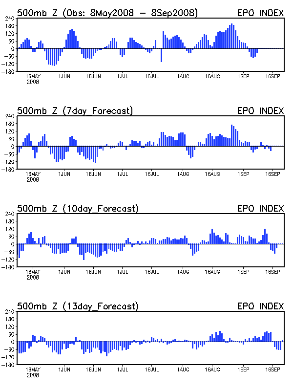
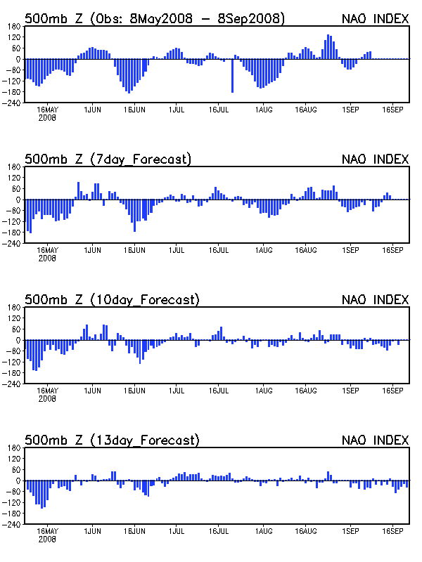
My last post at the beginning of the month discussed the possibility of mid-November cold with the caveat that “the EPO is not supportive of an extended cold air outbreak”. This turned out to be exactly true as the EPO has been strongly positive for the last few days, which teleconnects to a strong, zonal Pacific jet which in turn floods the U.S. with mild, Pacific air and frequent but weak storms. So despite a weakly negative NAO (which is often a cool signal), the Mid-South has enjoyed balmy near 70 degree weather the past couple of days despite widespread cloudiness. Things are about to change just in time for the Thanksgiving holiday! Continue reading
As prefaced in my last couple of posts here and here, the first arctic air mass of the season is poised to descend on the Mid-South early next week. The models are also hinting at a possible wet weekend for the WKU homecoming game on November 10. Continue reading
Here are some interesting statistics regarding our record-breaking late October rain event in the Mid-South. Bowling Green is used as the station of record for all statistics. Continue reading
The model and teleconnection data are suggesting that the first ten days of November will feature below normal temperatures with at least one and possibly two arctic air masses over the eastern United States. Continue reading
Mark Baldwin of the Tennessee Emergency Management Agency (and a former WKU graduate) posed this question here and I did a little research to find the answer. I love when “people” say things like this about climate since “people” are almost always wrong when it comes to their memories about climate. See here for a classic example. Mark, here is some ammo to refute the “people” you have been talking to. Continue reading
Even though my last post mentioned a warm start to November, the 06Z and 12Z runs of the operational GFS suggest quite the opposite. In fact, if either of the morning runs of the GFS were to verify it is possible that south-central KY could have its first early November snowfall since 1966. Continue reading
Since my last post on October 10th “Interesting pattern last two weeks of October” the jet stream has indeed been as progressive as predicted with a number of recent storms. The next storm on the horizon should bring beneficial rainfall to much of the Mid-South for much of next week. Continue reading
After months of monotonous heat and drought across the Mid-South the synoptic pattern is showing some interesting changes. Continue reading
A pattern change is coming to the Mid-South but unfortunately it will not ease the severe to exceptional drought conditions that have persisted throughout the summer and fall. Continue reading