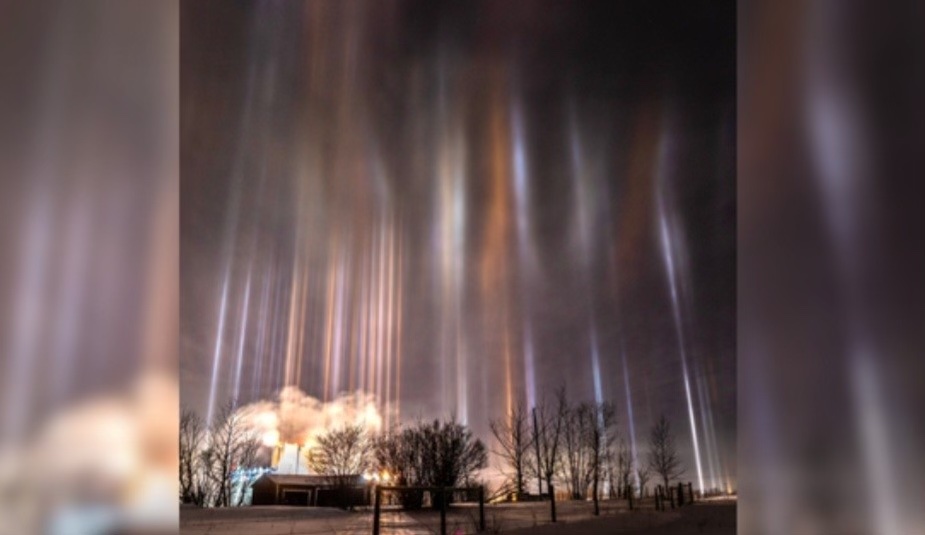
Today’s Forecast
Good morning and happy Wednesday! I hope everyone has had an amazing week so far! Today will be partly sunny with a high of 46 and a low of 31. For tomorrow expect warmer temps and sunny skies with a high of 56 and a low of 40. Friday, expect similar weather with highs in the lower 60s and lows in the lower 50s with a very low chance for rain in the overnight hours. Make sure you enjoy this sunny weather, as this weekend looks to be rainy. With Saturday and Sunday both having high chances for heavy showers with wind.
Recent Wild Weather
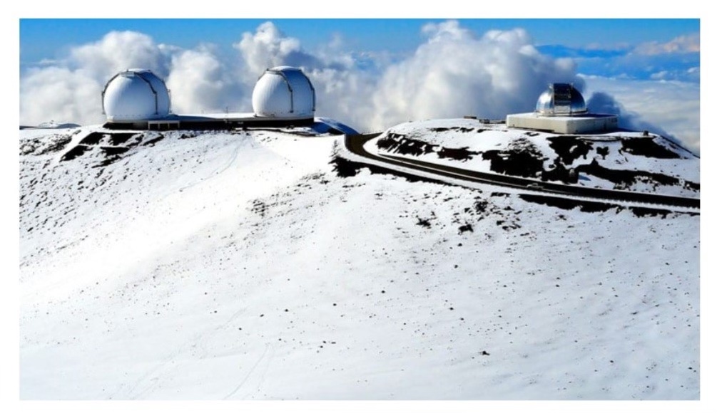
Talk about your wild weather… how about snow in Hawaii or even better a volcano? Just four days ago on Hawaii’s Big Island this is exactly what was playing out. Although it isn’t as rare as you would think, it also isn’t commonly heard of. This winter storm was brought about by a subtropical cyclone that swept across the islands in November. The snow dumped on Hawaii’s Maunakea and Mauna Loa, with several inches recorded on these peaks, which both reach nearly 14,000 feet in elevation. Local Meteorologist Ryan Lyman says that he would say it is close to 5 “, which is nowhere near their record. Hawaii has actually experienced 2 to 3 feet of snow in one event. At the NWS in Hawaii they are saying more snow could fall in the coming days but it should leave the area by Monday or Tuesday.
Wild Weather this Day in History
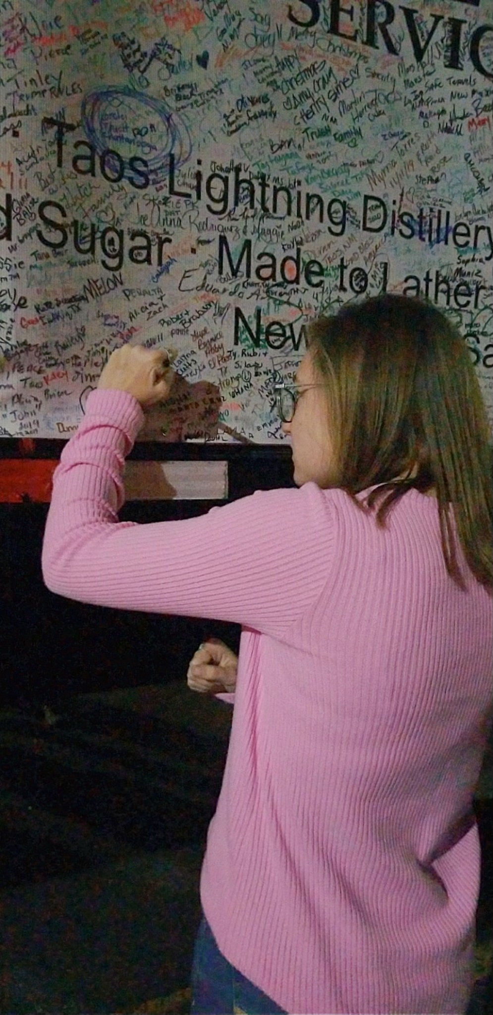
On December 6, 1970 just a week before The National Tree in Washington DC was set for its lighting ceremony, it would go tumbling down in gusty December winds. That particular year the National Tree was a 78 foot spruce brought in from South Dakota. The crew transporting the tree had already experienced some troubles while the tree was in transit. On its way to Washington DC the train carrying the tree derailed twice in Nebraska. After toppling over, fill-in branches had to be added to make the tree appear full again. Every year the National Christmas Tree is located on the Ellipse, south of the White House. This tradition started in 1923 on Christmas Eve when President Calvin Coolidge lit a 48-foot Balsam Fir from Vermont decorated with 2,500 red, white, and green bulbs. It has become a beloved tradition among families. Each year the tree goes on a small tour around the U.S., and I was lucky enough to see the tree in person in my hometown of Knoxville, Tennessee. I also got to sign the 18-wheeler carrying the tree. It’s an experience my mom, my me’me, and I will never forget! This year’s tree is 4o Norway Spruce from the Monongahela National Forest in West Virginia.
Since this is the last Wild Weather Wednesday blog until the New Year, I hope everyone has a great and safe Christmas season! Mele Kalikimaka and happy holidays!
Sources: https://www.sfgate.com/hawaii/article/hawaii-snow-falls-maunakea-mauna-loa-18527778.php https://www.nps.gov/whho/planyourvisit/national-christmas-tree.htm#:~:text=The%20National%20Christmas%20Tree%20Lighting%20first%20began%20in%201923%20under,of%20this%20cherished%20national%20tradition