Sunny with an Evening Shower

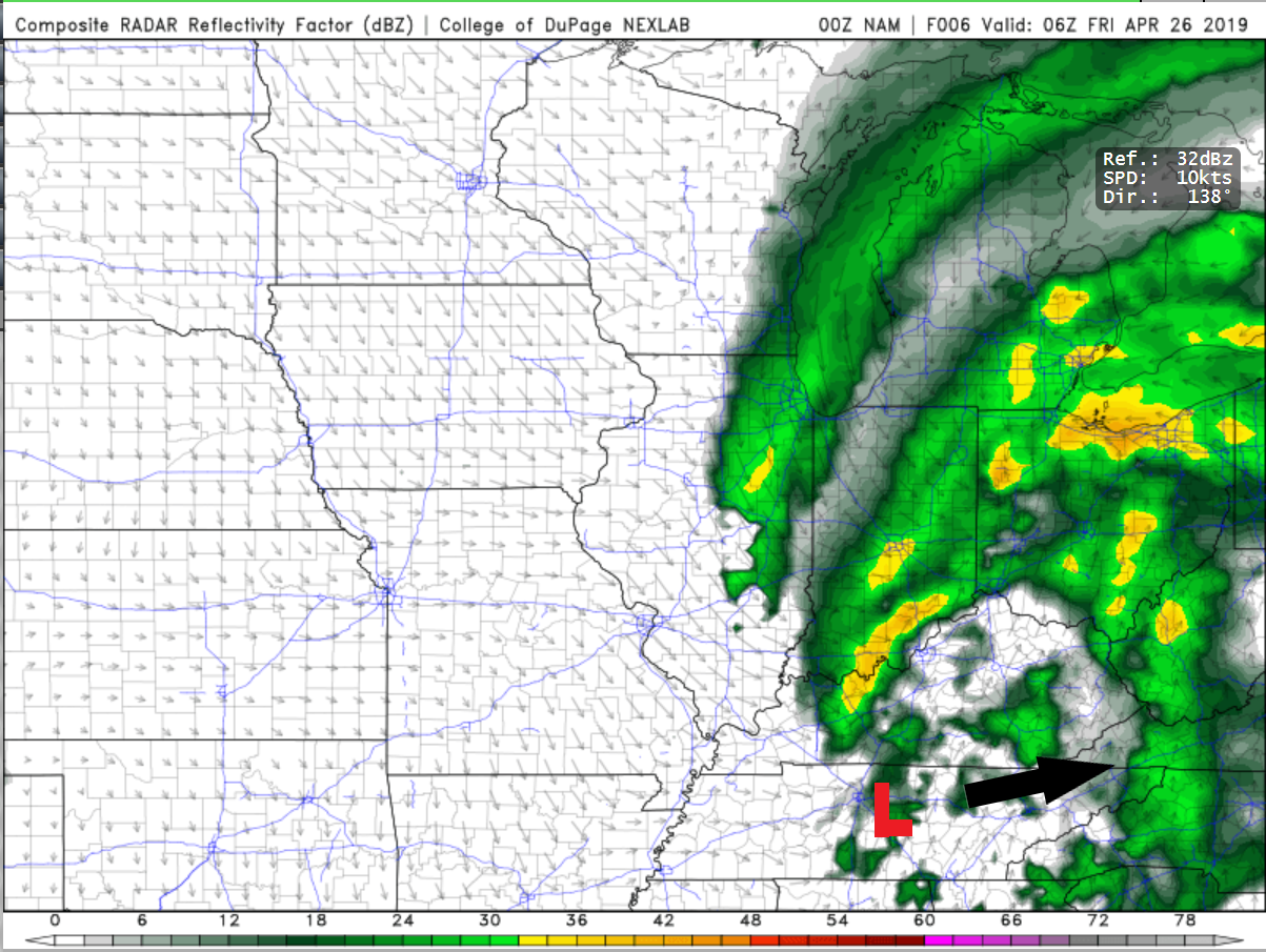
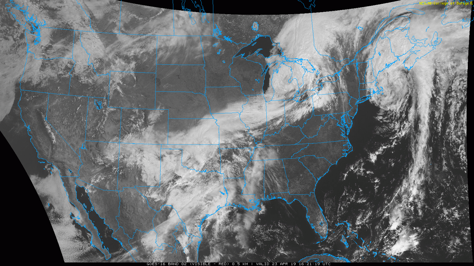
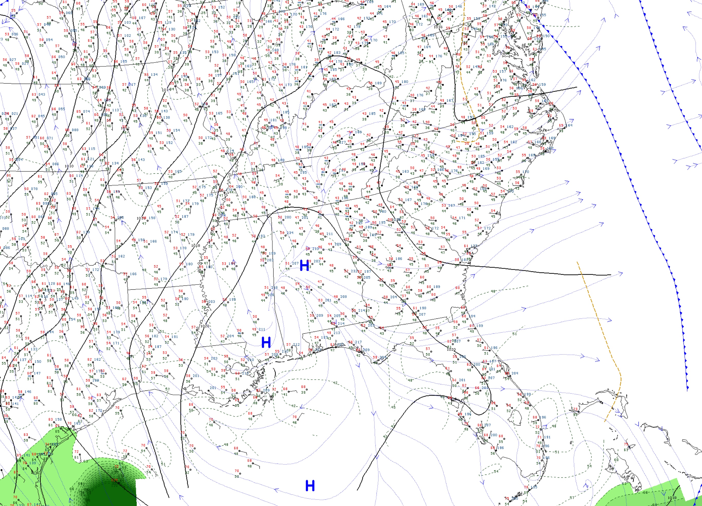
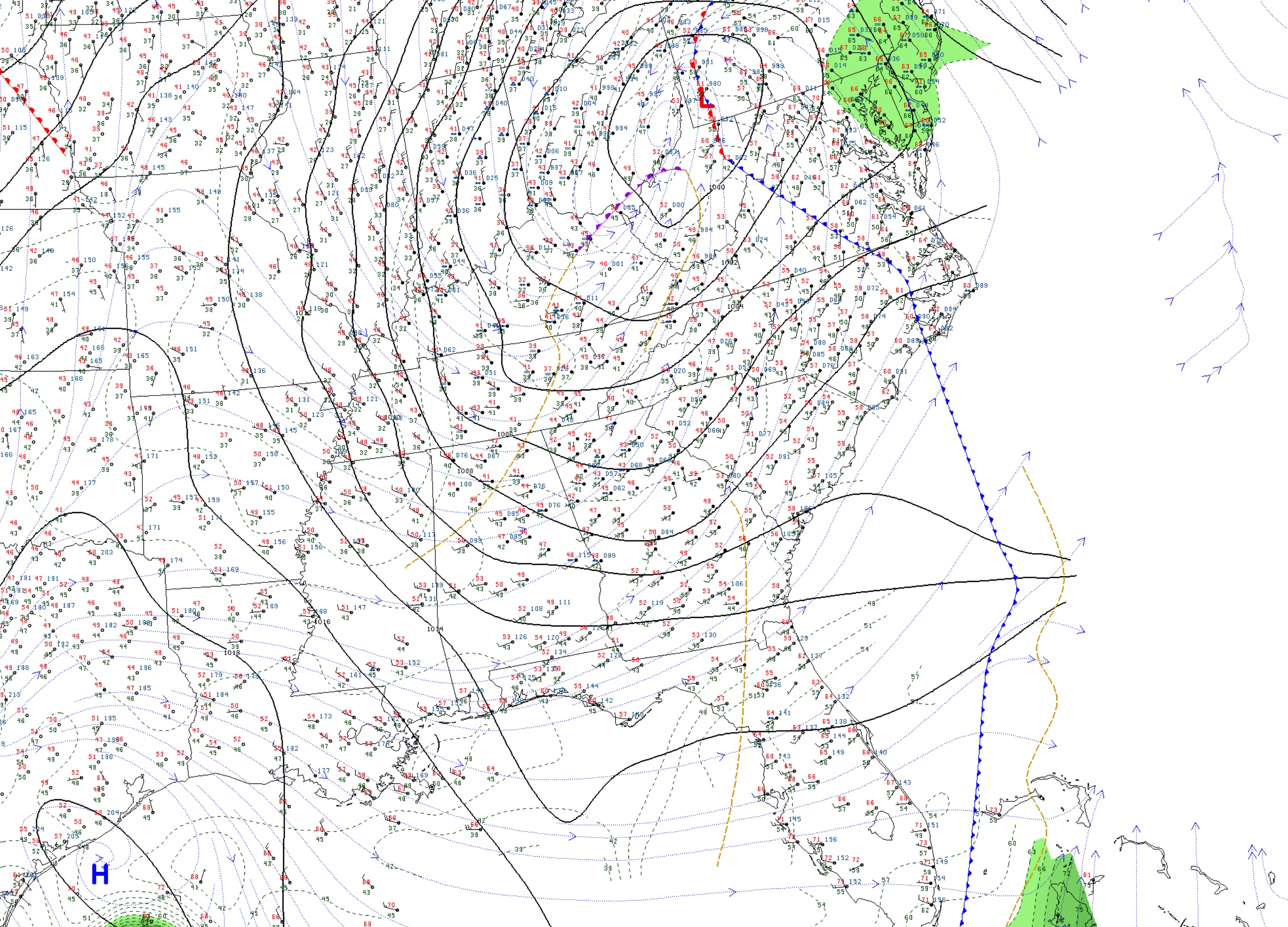
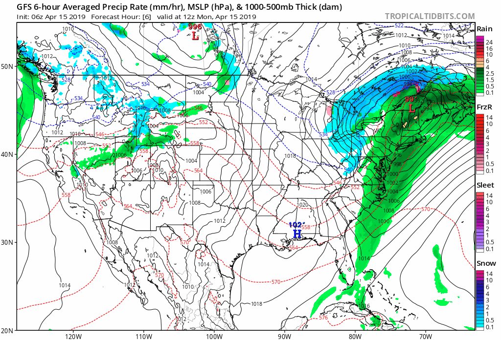
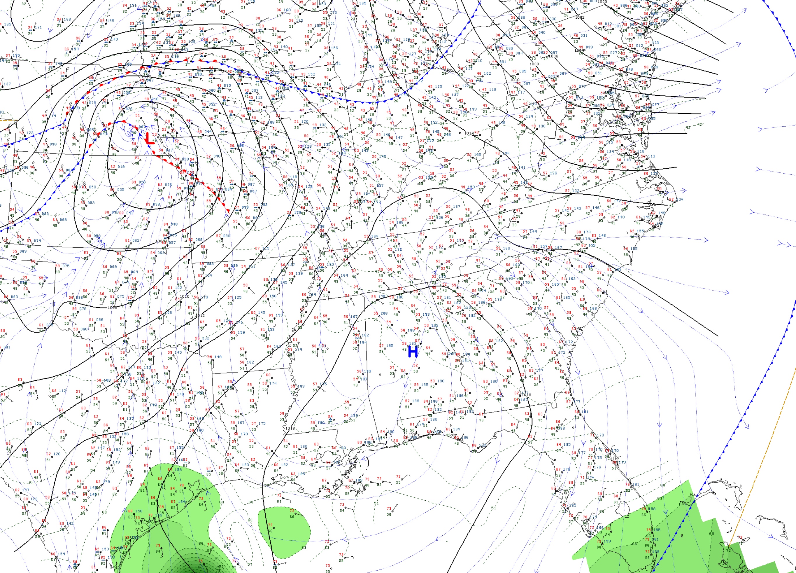
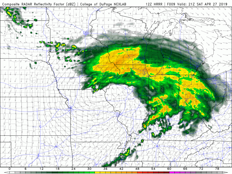
It will be an enjoyable sunny morning here in Bowling Green, with a high pressure field down in the South. However, an incoming low pressure system will bring us a chance for rain for the evening.

Surface Observations (Source: College of DuPage)

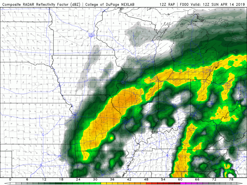
Highs will get up to the upper 60’s for our Saturday, with lows in the lower 50’s. On an otherwise beautiful day, there will be a small chance of rain for the early evening hours. Be sure to pack an umbrella if you plan on going out just in case a stray shower affects your area. The rest of the night will be quiet other than a stray shower.

12 HRRR Simulated Reflectivity (Source: College of DuPage)

With the low pressure system passing overnight Sunday, we have another beautiful day in store, but the morning will be a colder one, with highs in the mid-40’s. Sunday afternoon could see highs into the mid-60’s.

Forecast:

Today: Sunny; High: 68

Tonight: 20% chance for a stray shower; Low: 53

Monday: Colder morning, Sunny; High: 67, Low: 46

Posted in Kentucky Weather | Comments Off on Sunny with an Evening Shower

Shower Chances Decrease, Leading to a Great Weekend

Good evening folks!!

Shower chances begin to decrease as we head into Friday, paving the road for a great weekend! An upper-level low is currently cutting across the southern portion of the Tennessee River Valley aiding in the development of showers that will continue to move through the area during the overnight hours.

NAM Composite Reflectivity: 06Z (1am) Fri APR 26

High pressure will settle in on Friday, giving way to mostly sunny skies. High temperatures on Friday will hover right around the 70 degree mark.

Tenor Gifs

Transitioning into the night on Friday, temperatures will cool off into the middle 40s thanks to the mostly clear skies. Temperatures will rebound heading into the day on Saturday making for a picture perfect start to the weekend.

NAM Surface Temperature: 18Z (1pm) Sat APR 27

Highs again on Saturday will hover around in the upper 60s with sunny skies.

Tenor Gifs

Sunday will be about the same, with slightly cooler temperatures. Highs around the Bowling Green will stay in the middle 60s with mostly sunny skies. Temperatures rebound heading into the start of the work week with highs rising into the 80s.

For further updates about the Bowling Green forecast tune into wxornotBG, White Squirrel WX, and the WKU Meteorology Blog.

Have a GREAT night and an even better Friday!!

Posted in Kentucky Weather | Tagged | Comments Off on Shower Chances Decrease, Leading to a Great Weekend

More April Showers

April has been above average in the rainfall category. With 4.66 inches of rain so far, we’re 1.28 inches above average with more chances for rain coming up. It is likely we end the month a few inches above normal.

HRRR Model Reflectivity

As the HRRR model is illustrating, we have a decent few rounds of rainfall to get through tomorrow and into Friday morning. The severe potential is limited, but I would still expect some gusty winds and scattered thunderstorms tomorrow afternoon. A cold front passes through early Friday, briefly bringing us more gusty winds and cooler temperatures to start the weekend.

GFS Model Temps

The GFS model above shows a few cooler mornings due to a few systems that will pass through the area, but overall the warm trend continues. Next week is looking especially warm, and possibly stormy too but that makes sense considering it is almost May! The changing of the seasons comes with the price of severe weather making it’s return, and although there doesn’t seem to be anything actually significant on the horizon- it is truly only a matter of time.

Summary:

Rain tomorrow, winds could be gusty at times

Cold front passes Friday morning, gusty winds, cooler temperatures

The warm trend continues!

Posted in Kentucky Weather | Comments Off on More April Showers

Warm Temperatures with the Potential for Rain

Good morning everyone! Right now we are sitting at a very comfortable 76°. Clouds have started to make their way into the area as rain chances increase tonight through Thursday night.


https://www.wunderground.com/maps/current-weather/mixed-surface-analysis

We have a cold front associated with two low pressure systems that will pass through. Both systems are pretty weak so rain chances tonight and tomorrow aren’t very strong. Keep in mind that this does not mean they will not happen.


https://weather.cod.edu/satrad/?parms=continental-conus-02-24-0-100-1&checked=map&colorbar=undefined

On the satellite image above you can see those two low systems (one over the Great Lakes and the other over Oklahoma). There’s another separate low pressure system off the North East coast which is really cool looking!

The cold front will pass over later tonight as the low over the Great Lakes moves ahead of the Oklahoma system. It will take the system over Oklahoma a few of days to approach us and move over the state. What does this mean for us? That means we will have some cooler temperatures and rain/thunderstorm chances for the next few of days.

Our chances for rain and storms aren’t very high for tonight and tomorrow but Thursday does have a pretty good chance of showers.

  • SUMMARY:
    • Tuesday:
      • High: 81
      • Low: 59
      • 20% of showers this evening before 10 before just being cloudy.
    • Wednesday
      • High: 77
      • Low: 58
      • 30% chance of storms and showers throughout the day and night.
    • Thursday:
      • High: 75
      • Low: 26
      • A 60% chance of showers during the day increasing to 70% at night.

I hope everyone has a fun, safe week!

As a reminder the Toppers play UK in baseball tonight at 5. Come on out and go Topps!!

Posted in Kentucky Weather | Comments Off on Warm Temperatures with the Potential for Rain

Sunny Start to the Work Week

Happy Monday! We started a little chilly this morning but we will warm to reach a high around 80 degrees today. Sunny skies will accompany the warm temperatures, as well. This all can be thanked to the high pressure system we currently have sitting over the southeast. Sadly, this will not last long as clouds and the chance for a few showers are in the forecast by midweek.

Seen below is the latest NAM run at 12z, it shows the modeled precipitation data for the next few days. As you can see, a low (currently in the midwest) will move north and east bringing with it the chance for those showers. Tuesday (tomorrow) we will see clouds begin to increase through the morning hours and into the afternoon ahead of this system. By Tuesday night we see the chance of a few scattered showers, but otherwise staying mostly cloudy. By Thursday we see the highest chance of rain before another high pressure system settles in Friday giving us a pleasant start to the weekend.

FORECAST

Today (4/22): Mostly sunny
High: 80
Low: 54
Tonight: Mostly clear overnight

Tuesday (4/23): Mostly sunny start with clouds increasing throughout the day leaving cloudy skies by the afternoon.
High: 80
Low: 56
Tuesday Night: Mostly cloudy with light scattered showers possible overnight. (chance: 30%)

Posted in Kentucky Weather | Comments Off on Sunny Start to the Work Week

Happy Easter!

Surface Observations (Source: College of DuPage)

It is a foggy start to our Easter here in Bowling Green. It will also be a very cool morning as we start off in the low 40’s. Please drive carefully through areas of dense fog. For more information, visit the National Weather Service in Louisville’s website.

Watches and Warnings (Source: NWS Louisville)

Otherwise, expect a beautiful day, sunny and warm. Highs for today will reach the lower 70’s, and lows will be in the upper 30’s. Enjoy your Easter festivities, everyone! Monday will see similar sunny conditions, with highs in the mid 70’s, and lows in the upper 40’s.

Forecast:

Today: Foggy morning, sunny afternoon; High; 71

Tonight: Clear skies; Low: 39

Monday: Sunny skies; High: 76, Low: 46

Posted in Kentucky Weather | Comments Off on Happy Easter!

Saturday’s Showers

Surface Observations (Source: College of DuPage)

Today will be cold, wet, and miserable. On and off showers will plague Kentucky for the next 12 hours. Since we are on the other side of the low-pressure system, we will get wrap-around precipitation, which is persistent, but nothing too intense.

Watches and Warnings Map (Source: NWS Louisville)

With persistent rains, there is always the possibility of flooding, but as of now, it might not be much of a problem for the Bowling Green area. For updates, visit the National Weather Service in Louisville’s website. Fortunately, these rains will end overnight Sunday, bringing in a wonderful surprise for Easter. Highs for today will be in the mid-40’s, with lows in the upper 30’s.

Easter will be sunny and much warmer, with highs in the upper 60’s, and lows in the upper 30’s. A cold morning and a warm afternoon will allow for a relaxing Easter egg hunt.

Forecast:

Today: 100% chance of rain, High: 46

Tonight: Showers this evening, clearing overnight, cold; Low: 38

Sunday: Sunny and warm, High: 69, Low: 39

Posted in Kentucky Weather | Comments Off on Saturday’s Showers

Warm Start With a Wet Finish

I hope everyone is having a good day today! There was a bit of a chilly start this morning but it quickly warmed up. The next few days will remain pretty warm with temperatures in the upper 70s and even 80 for Wednesday. We can thank the southerly winds for these temperatures! Do keep an eye out today through Thursday night as it will be pretty breezy! This afternoon could see winds peak at 16 mph. Keep a good grip on your ball cap! Tomorrow looks to be a little lighter but not by much as winds peak at 14 mph. Thursday will hold the highest winds ranging from 10 to 20 mph, with gusts as high as 32 mph according to the National Weather Service. Now what does all this mean in terms of everyday life? Here’s a chart showing what winds can do at different speeds.

Image result for wind speeds mph chart damage

https://www.weather.gov/images/cle/SKYWARN/windspeedchart.gif h

Today and tomorrow you’ll want to keep a good grip on any papers in hand but it won’t be too bad. Thursday’s winds could cause large branches and even the whole tree to sway. With this does come the possibility of trees coming down as well as power lines so keep an eye out for potential power outages.


https://www.spc.noaa.gov/products/outlook/day3otlk.html

The good news is we have been downgraded to a marginal risk for severe weather. Keep in mind that this doesn’t mean we couldn’t still see something severe. Right now it looks like we will get around a tenth to a quarter of an inch of rain during the day Thursday with the majority of the rain falling at night. It’s expected that one to two inches will fall at night.

Overall it will be nice a nice start to the week we’ll just have to deal with some more rain and storms later on. Everything will clear out Saturday night to leave a beautiful Sunday. The grass could still be a little too soggy for Easter egg hunts but otherwise it will be a great day!

  • SUMMARY:
    • Tuesday:
      • High: 79
      • Low: 56
      • It will get pretty windy towards the afternoon.
    • Wednesday:
      • High: 80
      • Low: 60
      • We will start seeing more clouds roll in for Thursday’s showers and storms. It will remain fairly breezy.
    • Thursday:
      • High: 74
      • Low: 50
      • It will be pretty windy with winds peaking at 32 mph. Showers and storms will likely start in the afternoon hours and continue through Friday. Storms could have the potential to be severe especially with the high wind gusts.

Stay safe and have a great week!

I hope everyone has a great Easter!!

Posted in Kentucky Weather | Comments Off on Warm Start With a Wet Finish

Spring Is In The Driver’s Seat

Many of you woke up this morning to chilly temperatures on your way out of the door. This can be thanked, in large part, to the cold front that moved through late yesterday. As seen below, much cooler temperatures have swept through much of the southeast the past 24-hours. As for today, expect a pleasant day with temperatures on the cooler side of things. By this evening we will have a high pressure system move right over the Tennessee/Kentucky region bringing with it much warmer temperatures Tuesday and the rest of the week. This high will also allow us to stay dry and see plenty of sunshine for the next few days.

24-Hour Temperature Change (NOAA)

This high pressure system will make its way from our southwest into the Ohio valley region (by tonight) before being forced out by another low toward the end of the week. We can enjoy a few days of great Spring weather before the next system moves in Thursday. This next system has potential of causing some severe weather, so make sure to check back in to see what you can expect.

GFS 6z

FORECAST

Today (4/15): Mostly sunny and a bit cooler
High: 62
Low: 45
Tonight: Mostly clear overnight

Tuesday (4/16): Mostly sunny and warmer
High: 76
Low: 54
Tuesday Night: Partly cloudy

Posted in Kentucky Weather | Comments Off on Spring Is In The Driver’s Seat

Storms for Sunday?

Surface Observations (Source: College of DuPage)

Today’s storm set up is more towards the East, but chances for storms here in the mid-South are at a minimum, but possible. The cold front seen above will steadily pass through, stimulating storms for the East. Aside from a stray shower, Bowling Green could see some partly cloudy skies, with highs in the lower 60’s, and lows in the mid 50’s.

Sunday’s Severe Weather Outlook (Source: SPC)

The main hazard’s for today’s severe weather watch is wind damage, and hail. Tornado chances are slim but not out of question. A line of storms will pass through this afternoon.

12Z RAP Simulated Reflectivity (Source: College of DuPage)

Monday will see a continuation of sunshine, but the morning will be chilly, and we might see some fog as dew points will sink into the 30’s. Highs will be in the mid 60’s, and lows in the mid 30’s.

Forecast:

Sunday: Partly Cloudy, 10% chance of stray storm; High: 64

Sunday Night: Partly Cloudy; Low: 52

Monday: Morning fog, partly cloudy; High: 65, Low: 34

Posted in Kentucky Weather | Tagged | Comments Off on Storms for Sunday?