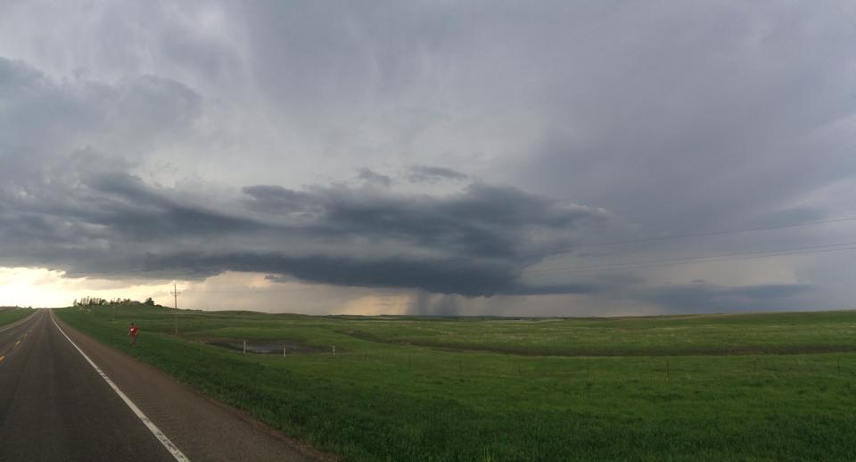
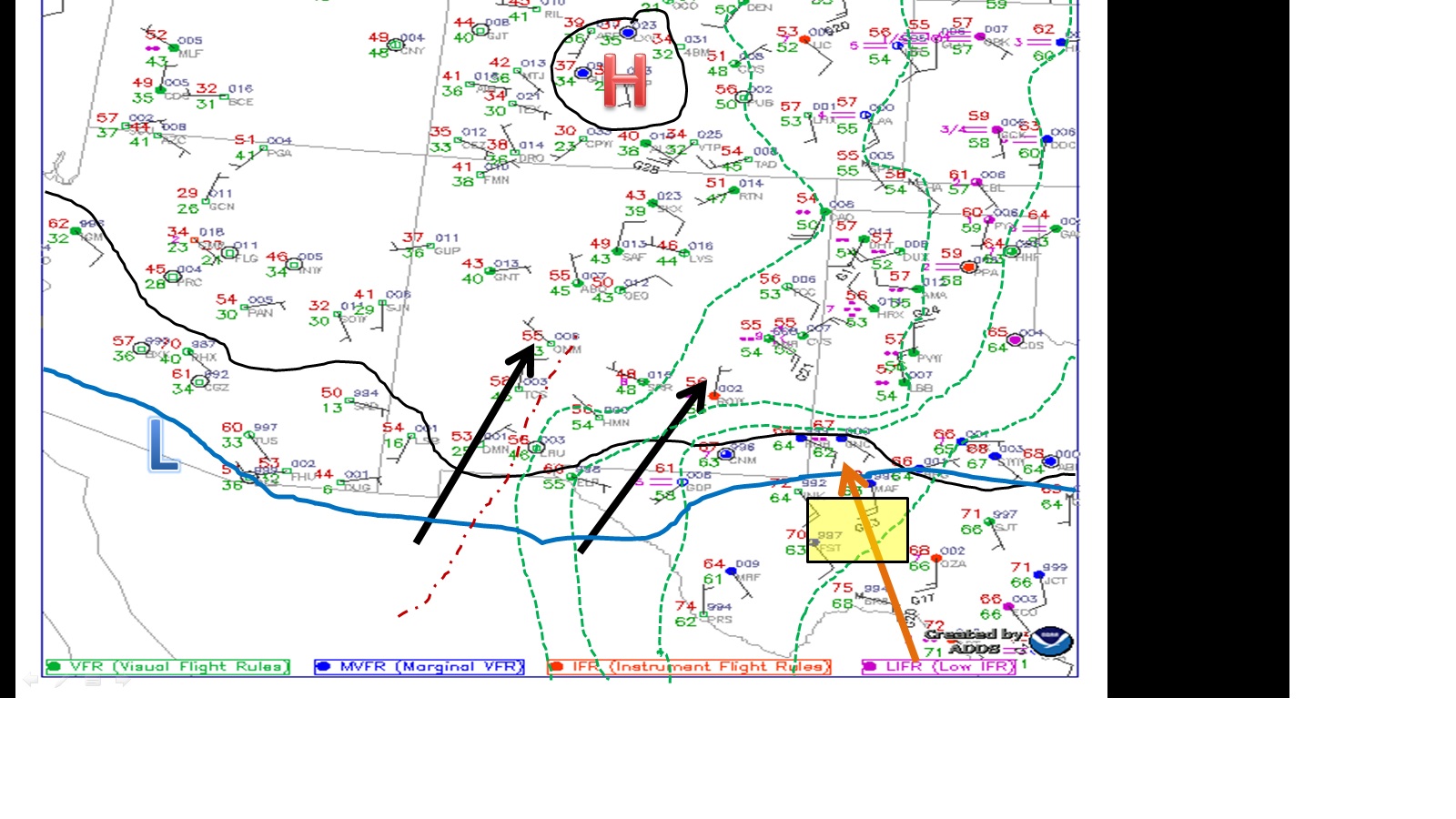
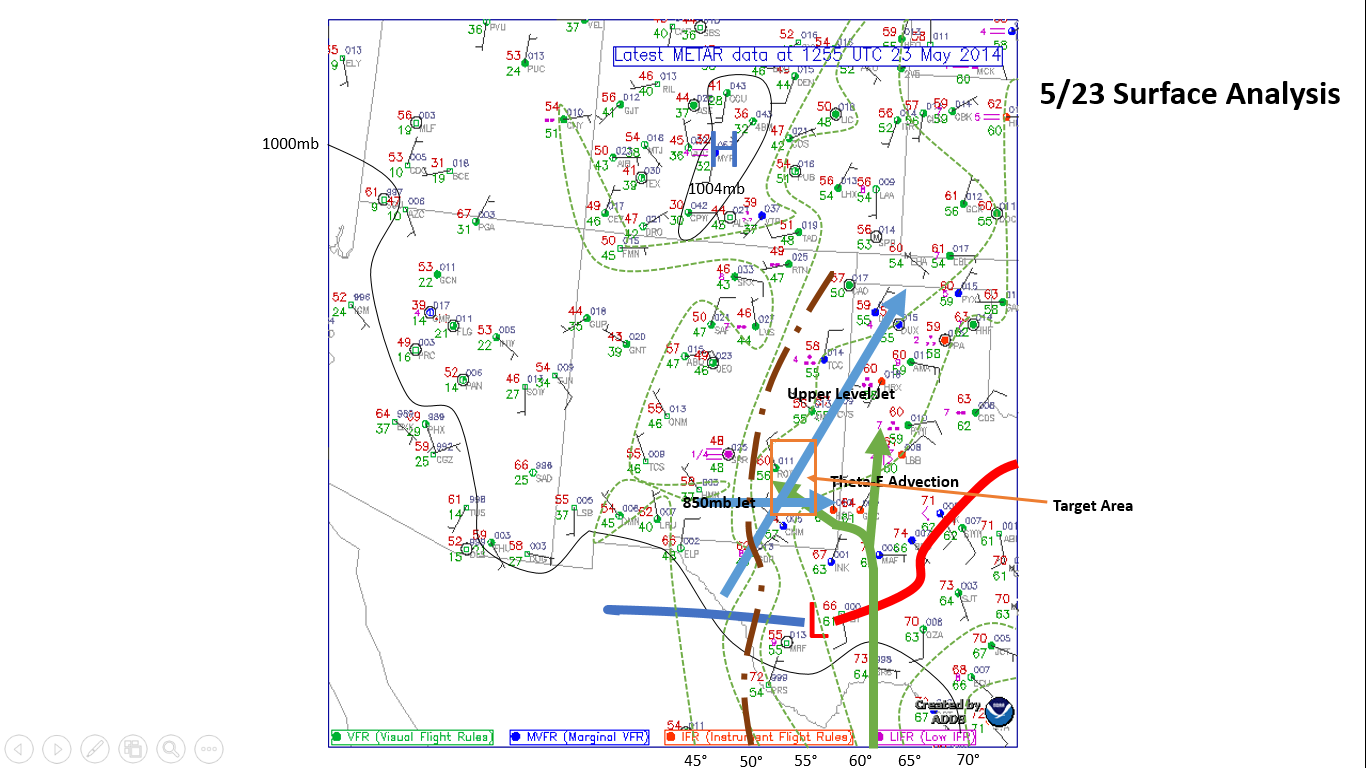
We woke up yesterday in the city of Spearfish, SD after having another successful chase day full of lightning. During our morning forecast discussion we all came to the decision our day would be better spent touring the local attractions. Severe weather parameters were not lining up for a successful chase day. Below is the surface map generated for today:
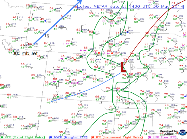
Surface map generated for 30th May 2014
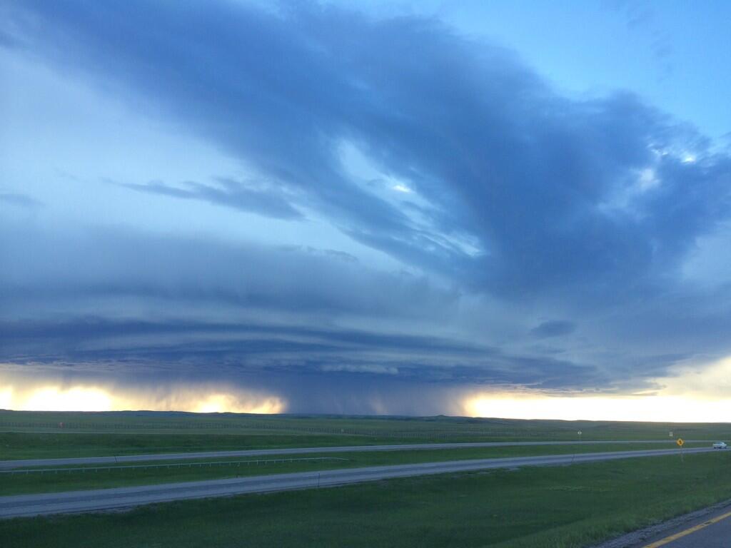
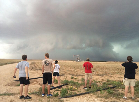
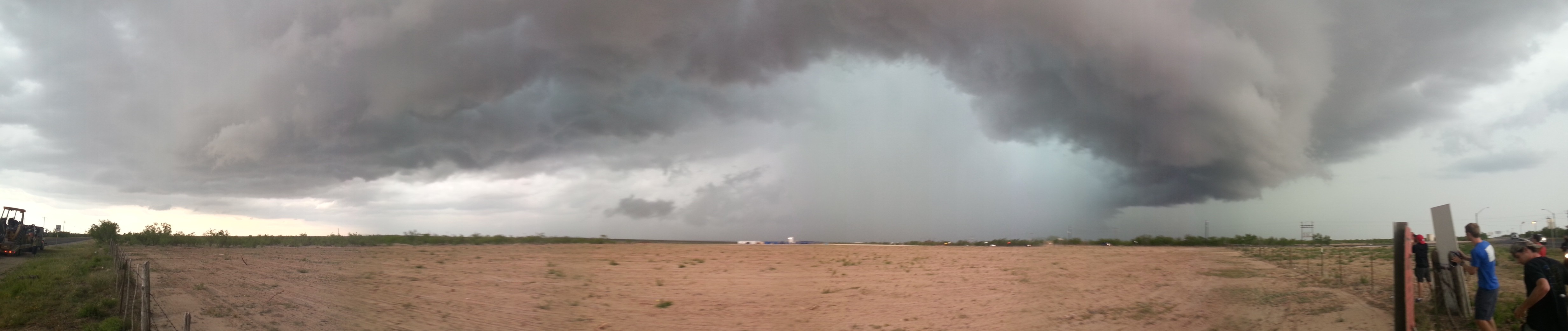
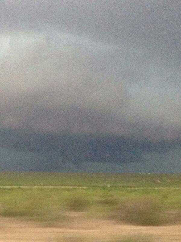
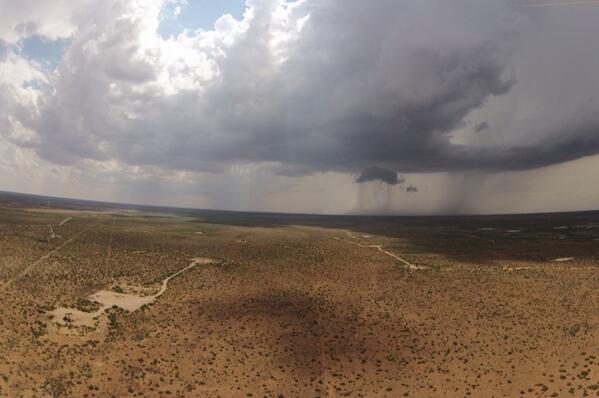
As a group we decided it would be best to go to Badlands National Park, which was east of the boundary, and if any storms did initiate over the Bandlands we could chase. We made it to the park around 3:00 PM and began hiking, climbing, and exploring the surrounding area.
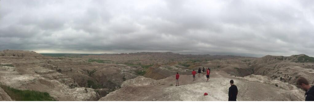
Our group exploring the desolate grounds of the park.
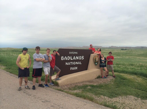
Being bad in Badlands National Park.
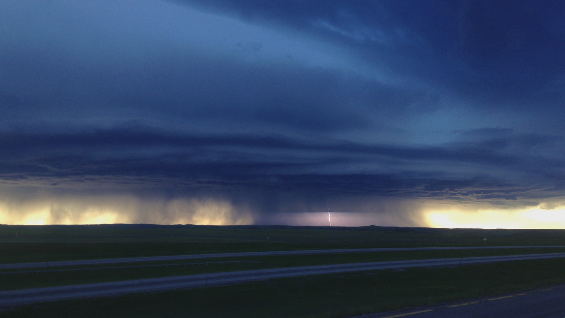
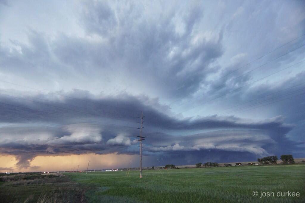
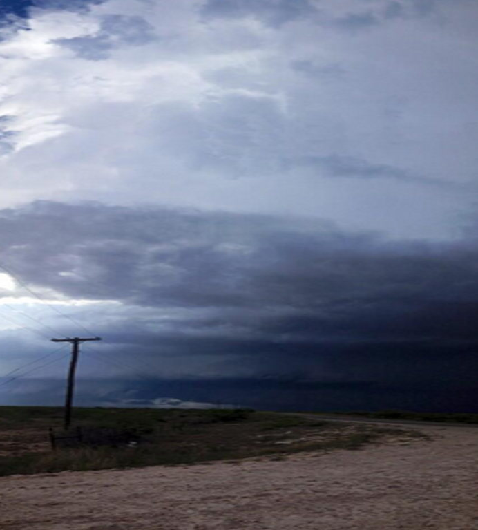
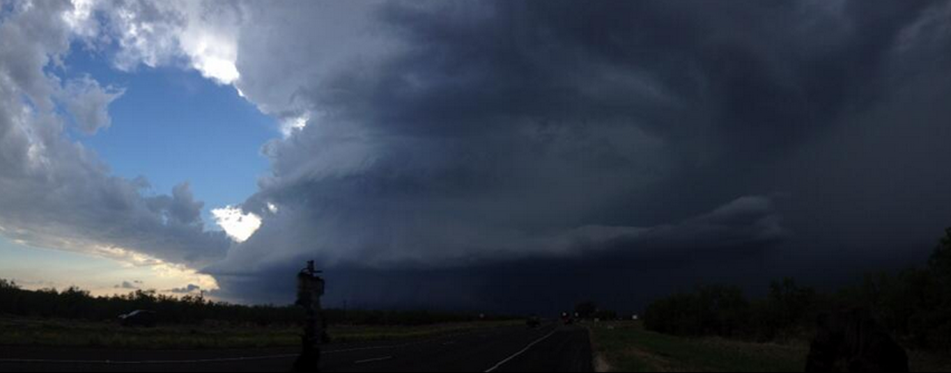
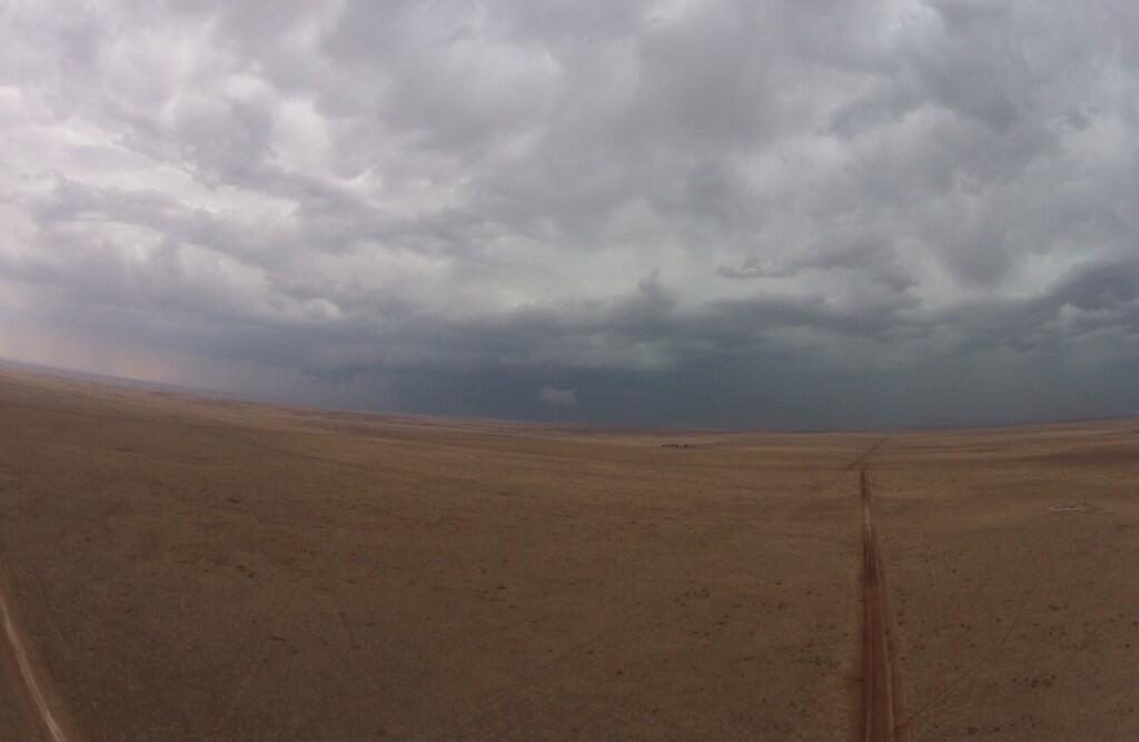
After hiking around, and watching a distant storm roll in, we decided to hit the road, and head for the historic town of Deadwood, South Dakota for dinner. The town Deadwood, is an old gold mining settlement which dates back to the days of Wild Bill, and other gunslingers alike. First becoming an illegal settlement in the 1870’s, many of the old buildings still stand.

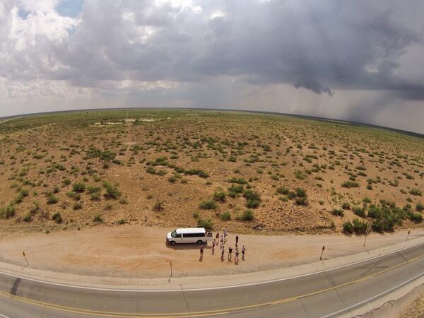
Our group hunting down a great restaurant!

The town of Deadwood has some exciting history!
For dinner we ate at Diamond Lils, which was in the second floor of one of the many old buildings in the community. After eating there, we drove back to Spearfish, SD for the night.