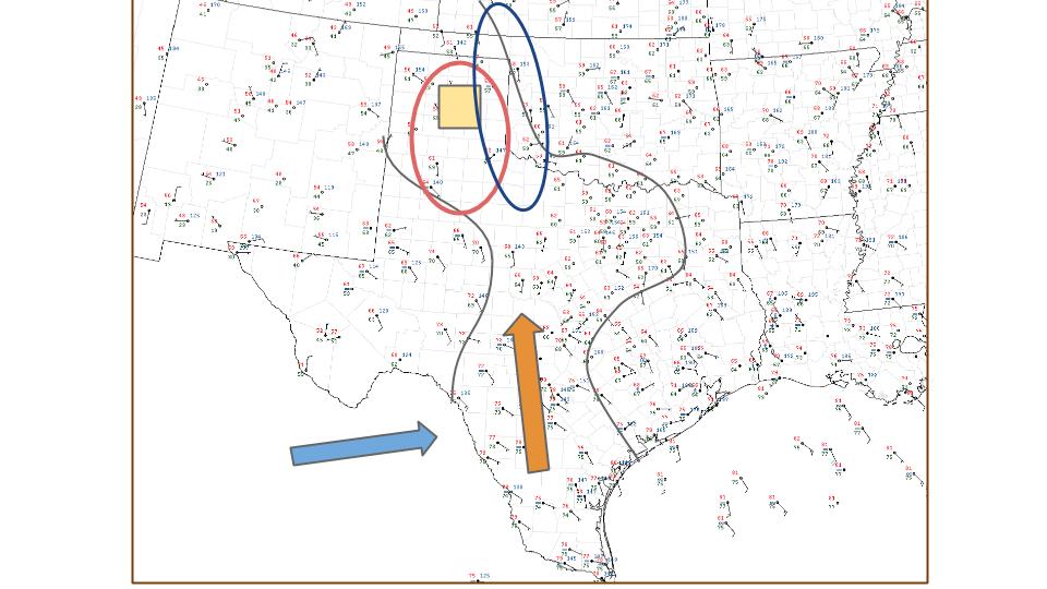
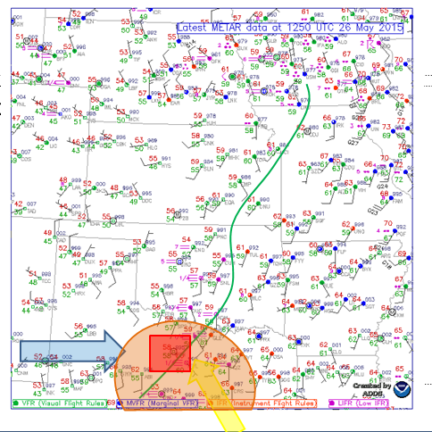
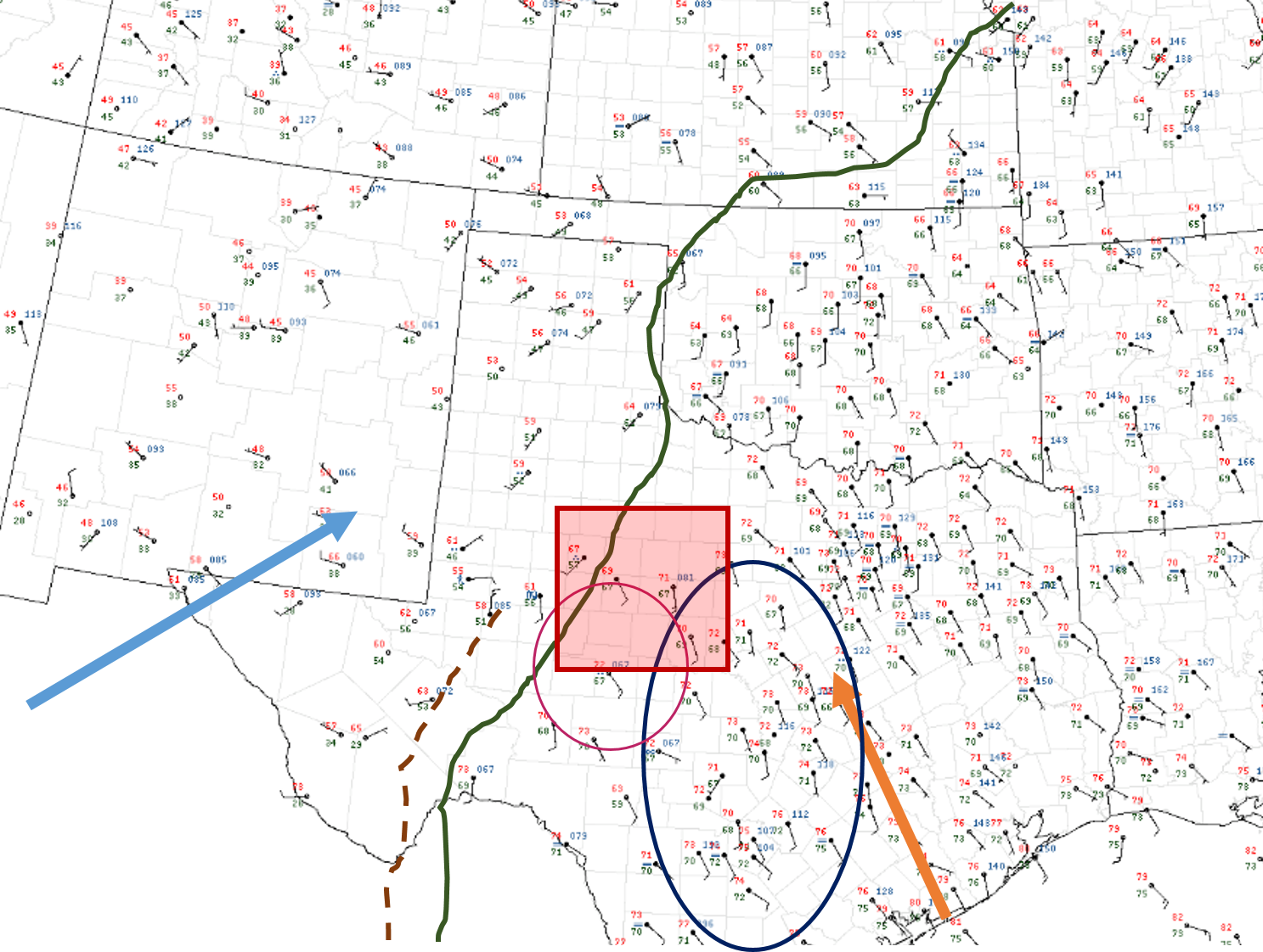
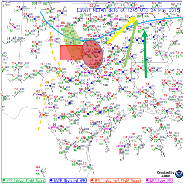
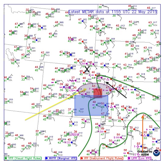
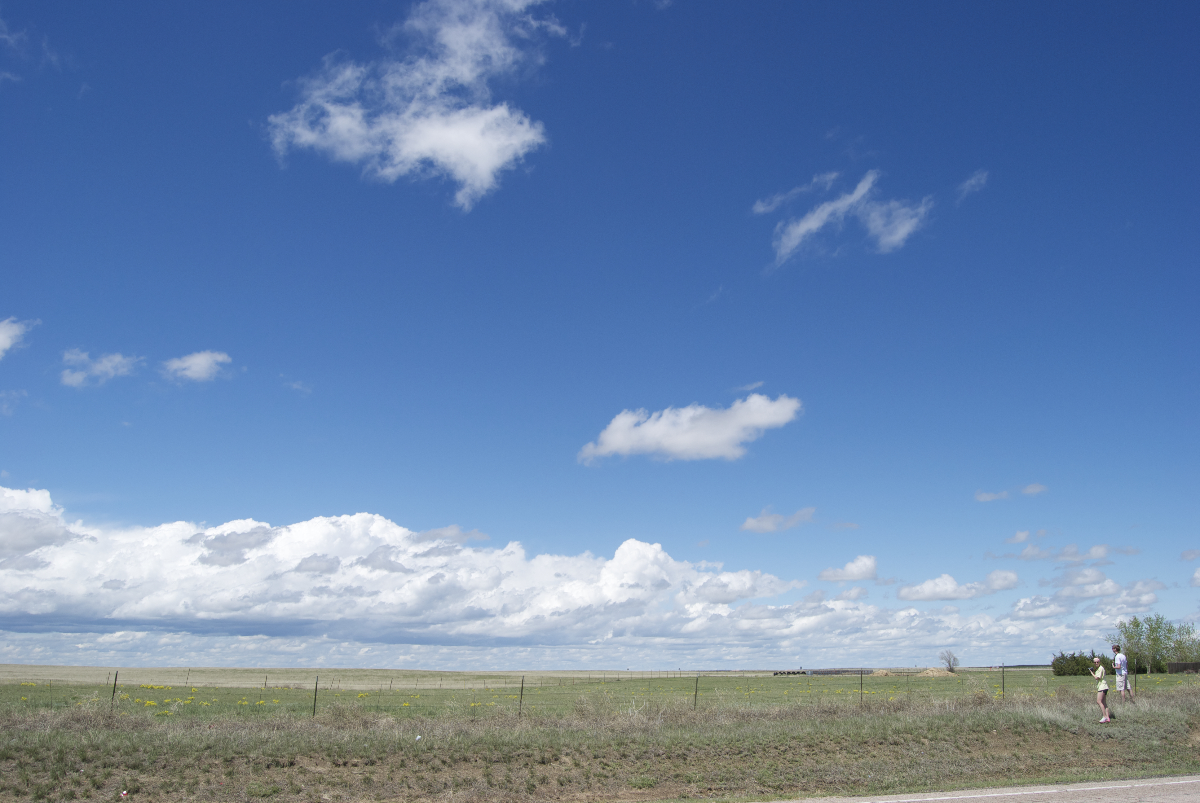
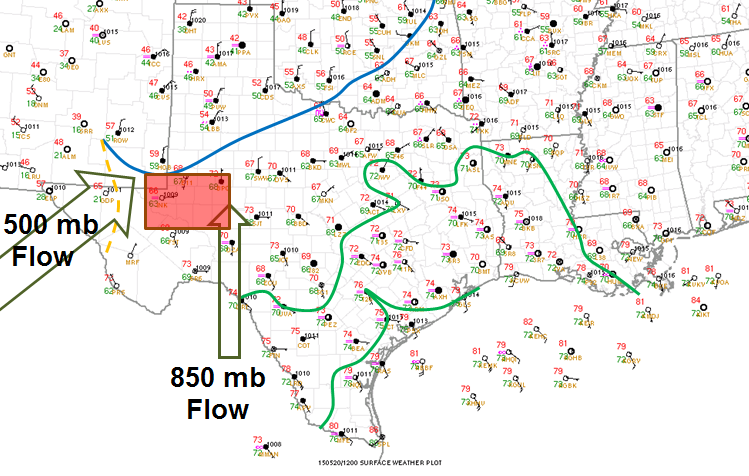
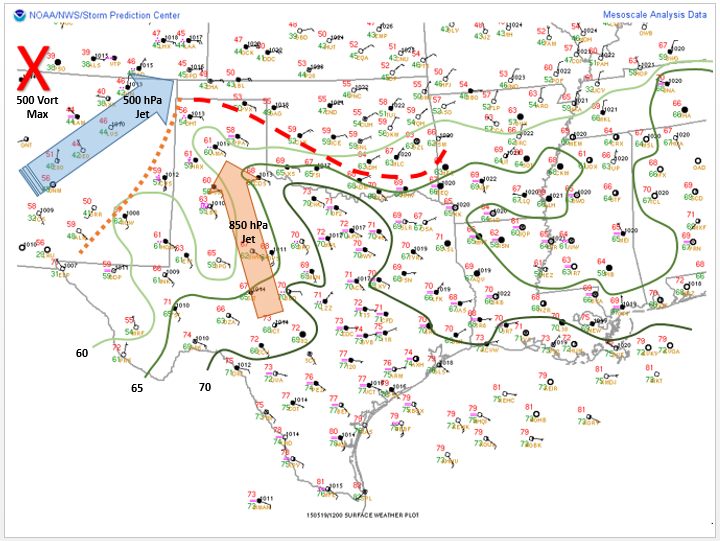
We woke up in Pampa, TX with a difficult forecast ahead of us. Below is a surface composite from the morning. Isodrosotherms (green) showed rich moisture nosing into the central plains with dewpoints reaching into the upper 50’s in the Texas Panhandle. 500mb jet (yellow) showed southwest flow and was forecast around 40kts, which would provide ample upper-level support. The 850mb jet (orange) was forecast to be nearing 30kts out of the southern and increasing into the evening over the Texas Panhandle. The purple oval indicates where the greatest helicity was expected and the purple line in western New Mexico showed where the dryline was. Due to a diffuse dryline and lack of a frontal lifting system, we decided it best to monitor outflow boundaries from the morning precipitation. A target of Elkhart, KS was used to monitor these boundaries but decided it best to stop in Guymon, OK.
Composite Surface Analysis
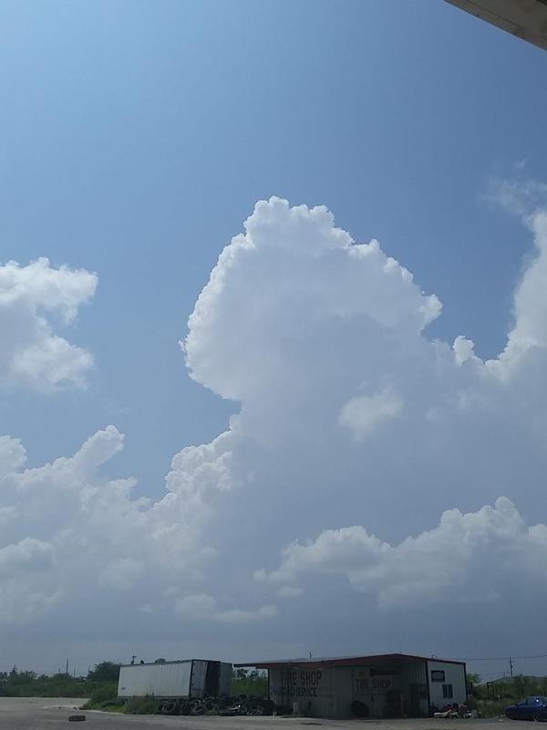
Once we arrived in Guymon around 11 AM, we noticed an outflow boundary interacting with the dryline, leading to the initation of thunderstorms over southeastern Colorado. West of Campo, CO we stumbled upon a tarantula as well as a great display of mammatus clouds.
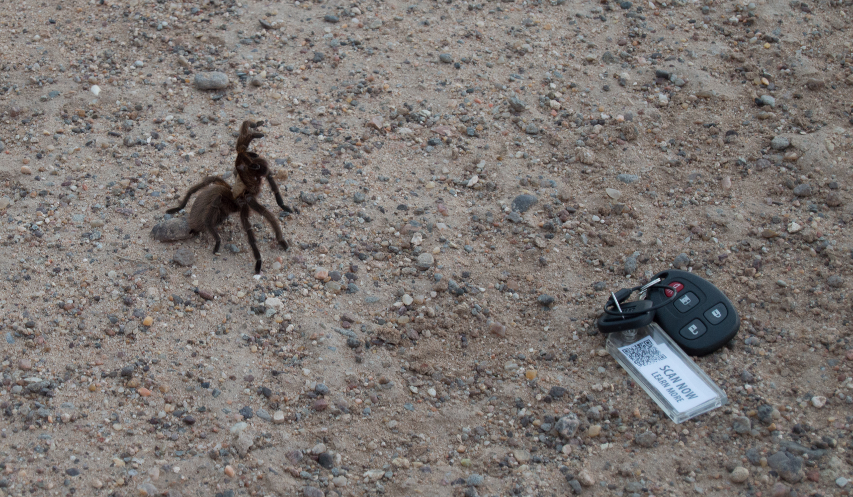
Big, Creepy Spider
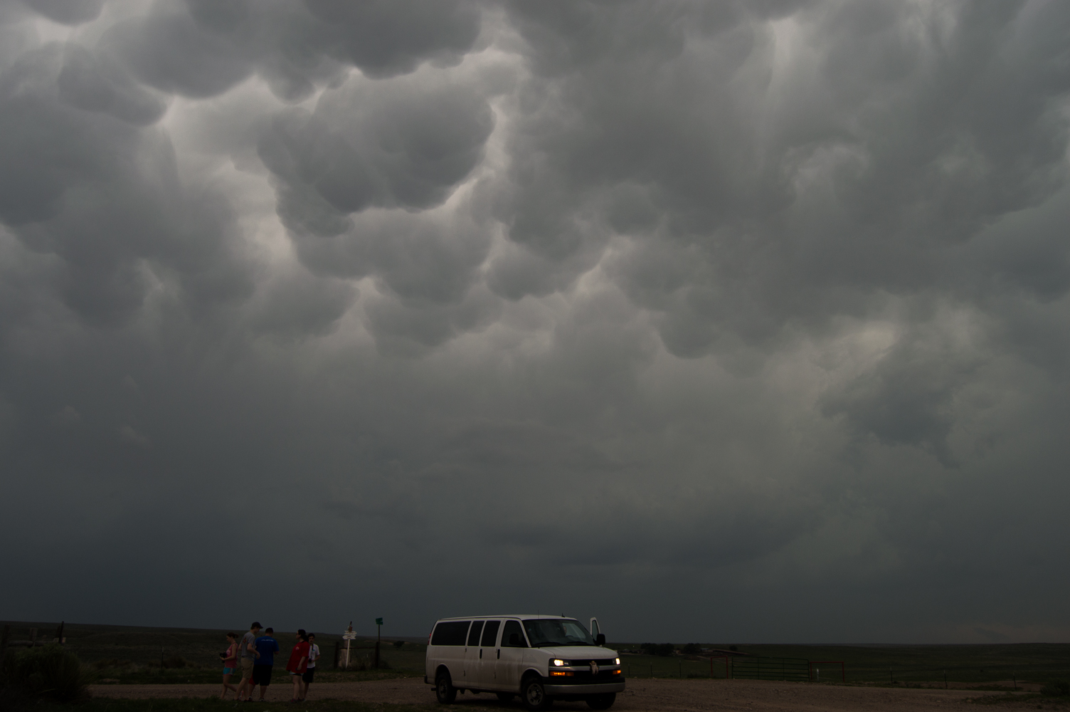
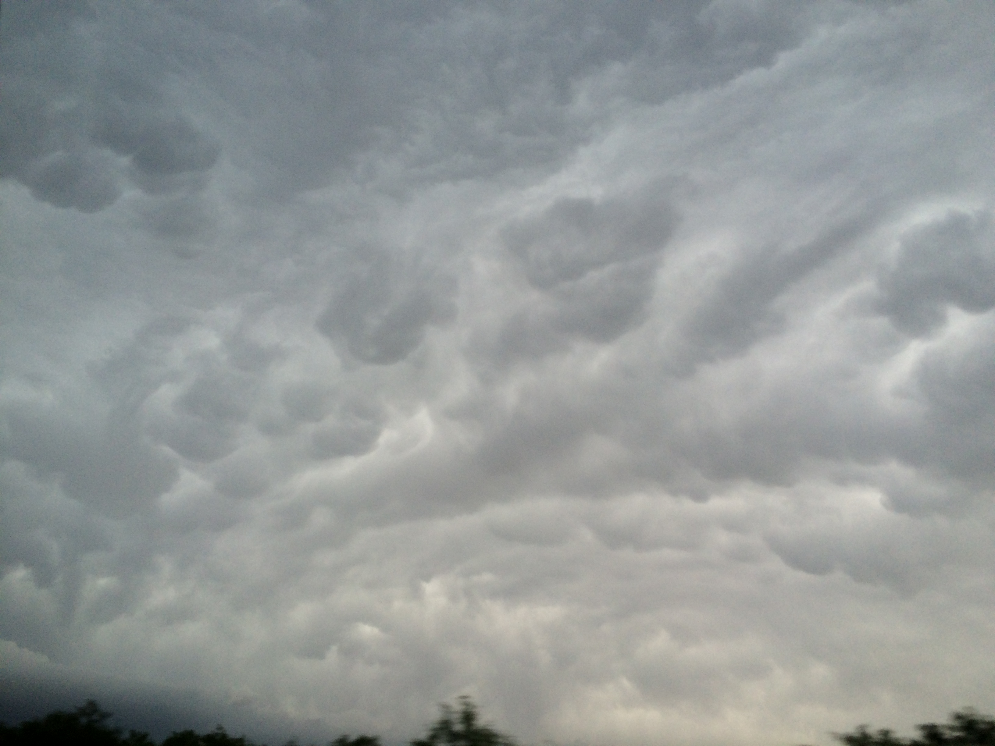
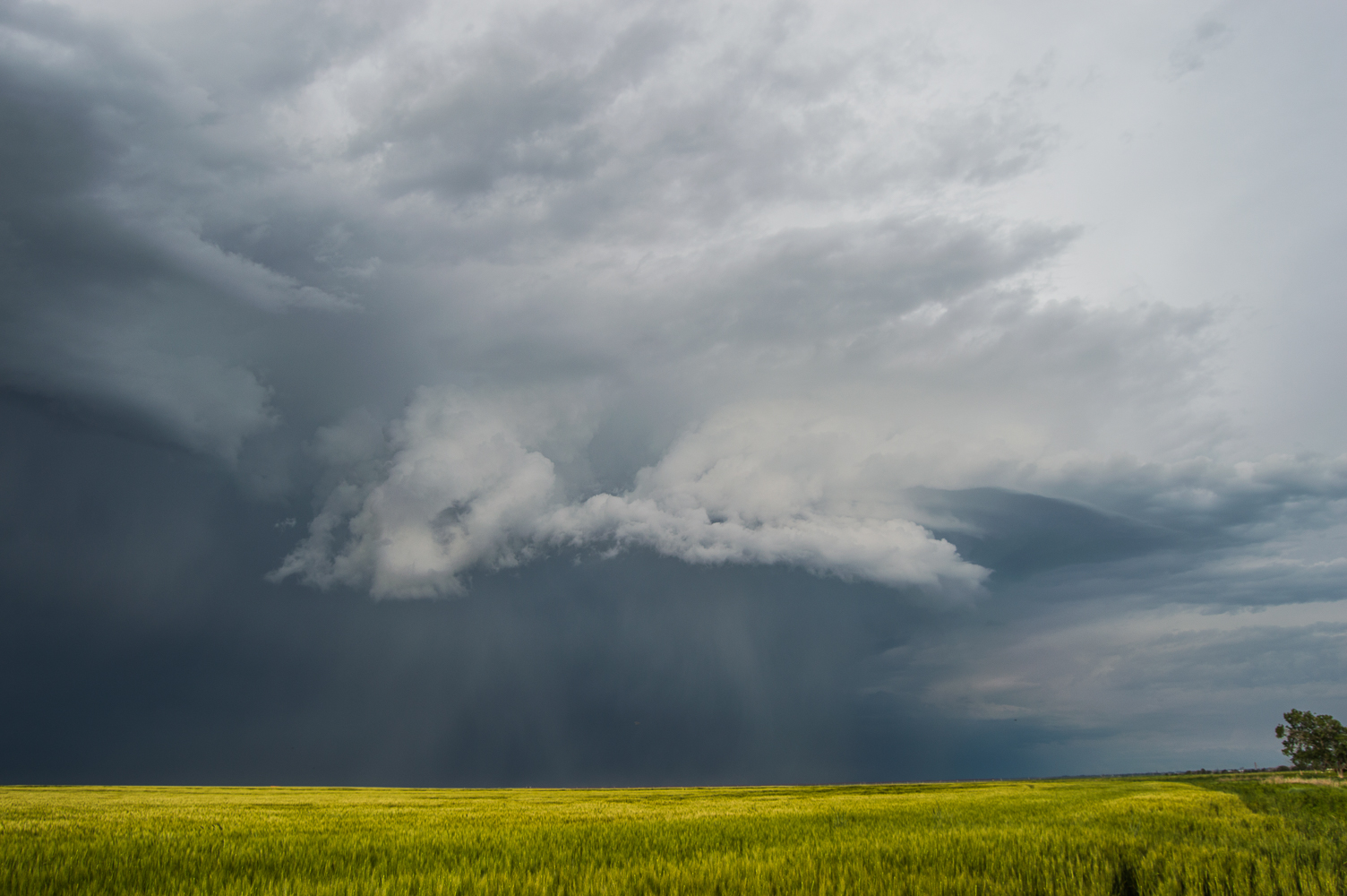
Mammatus Clouds
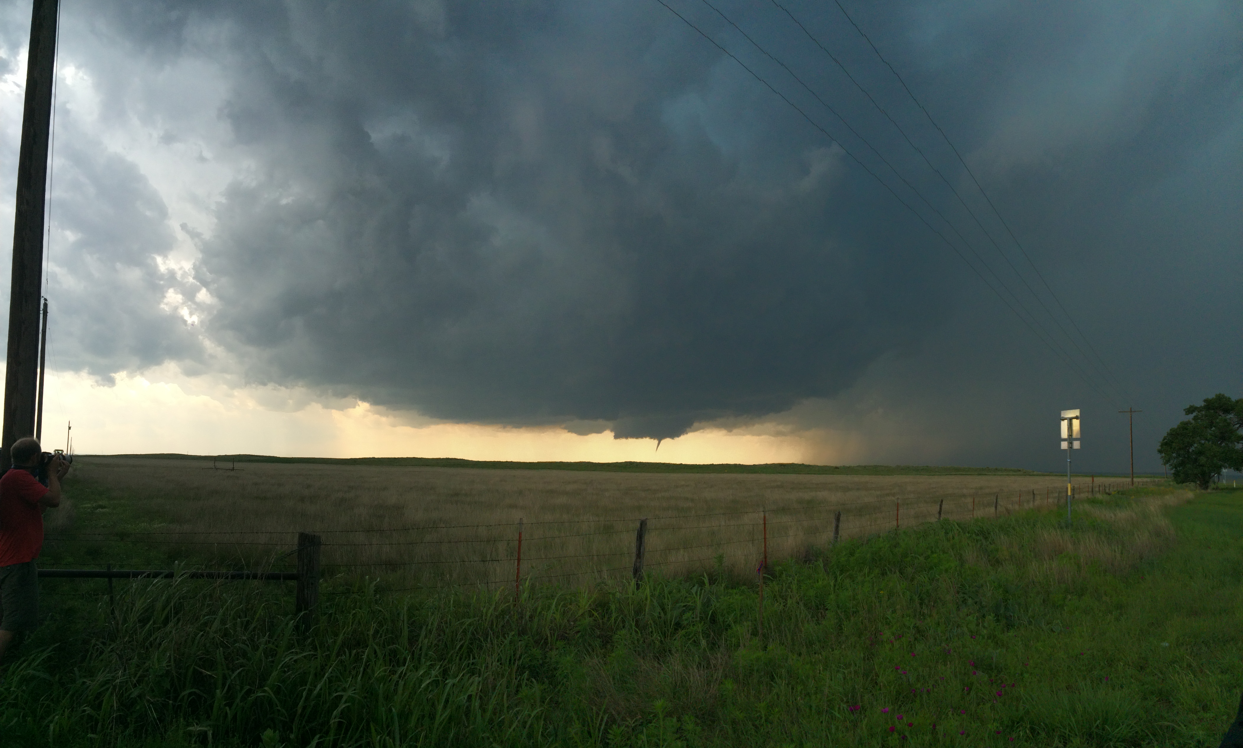
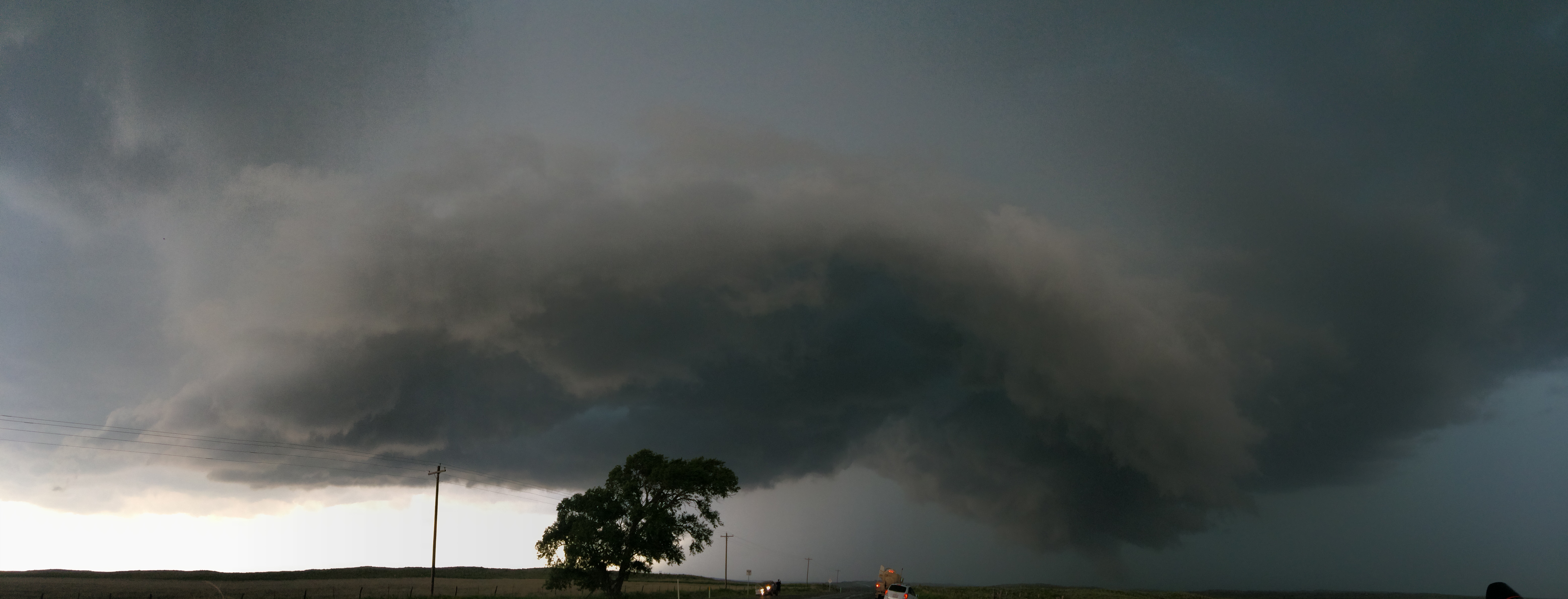
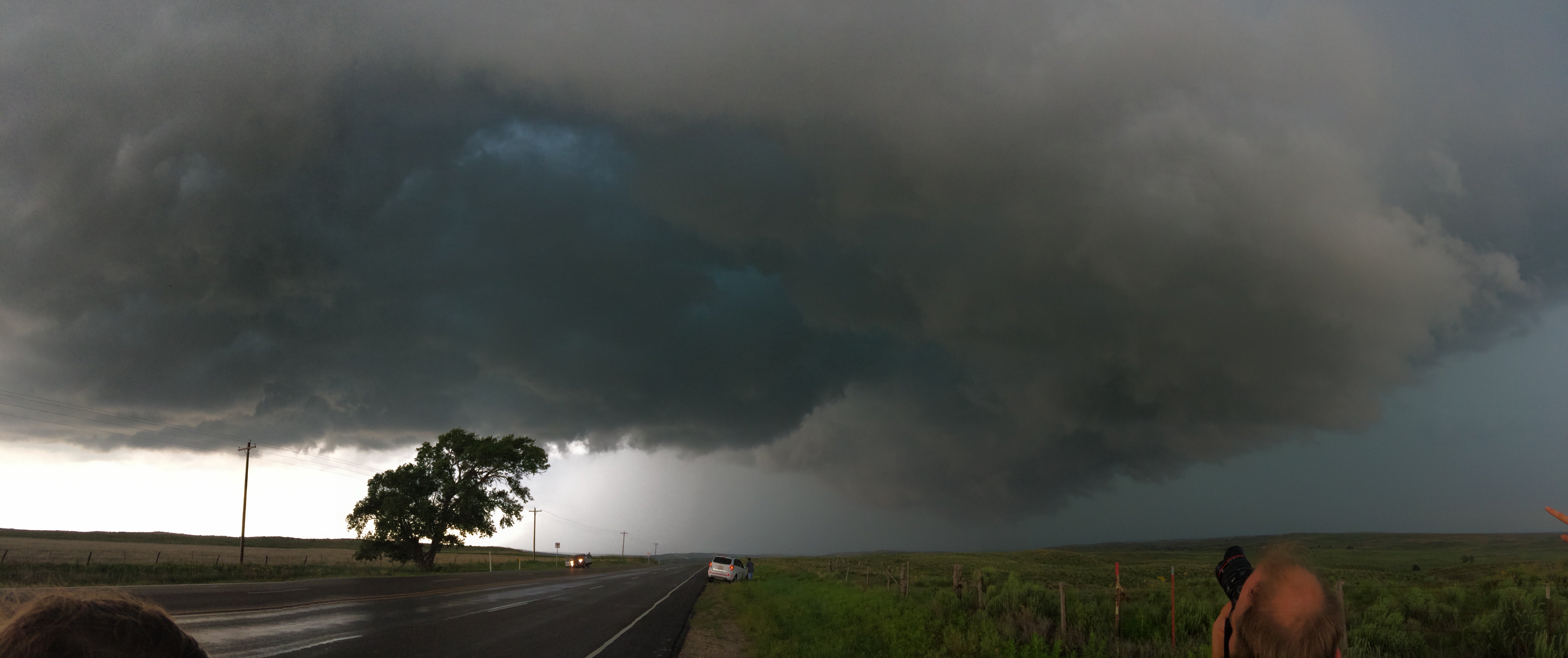
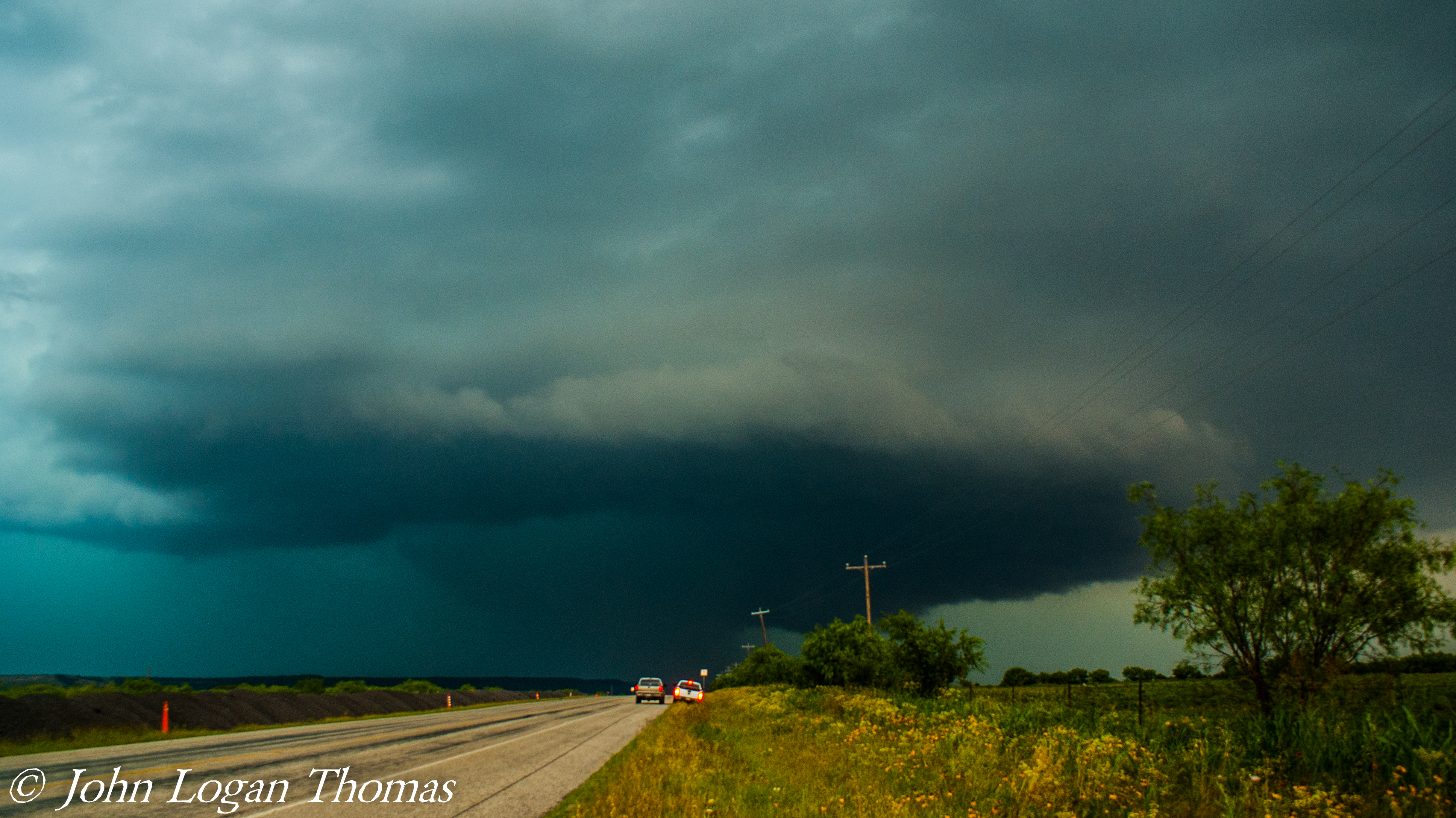
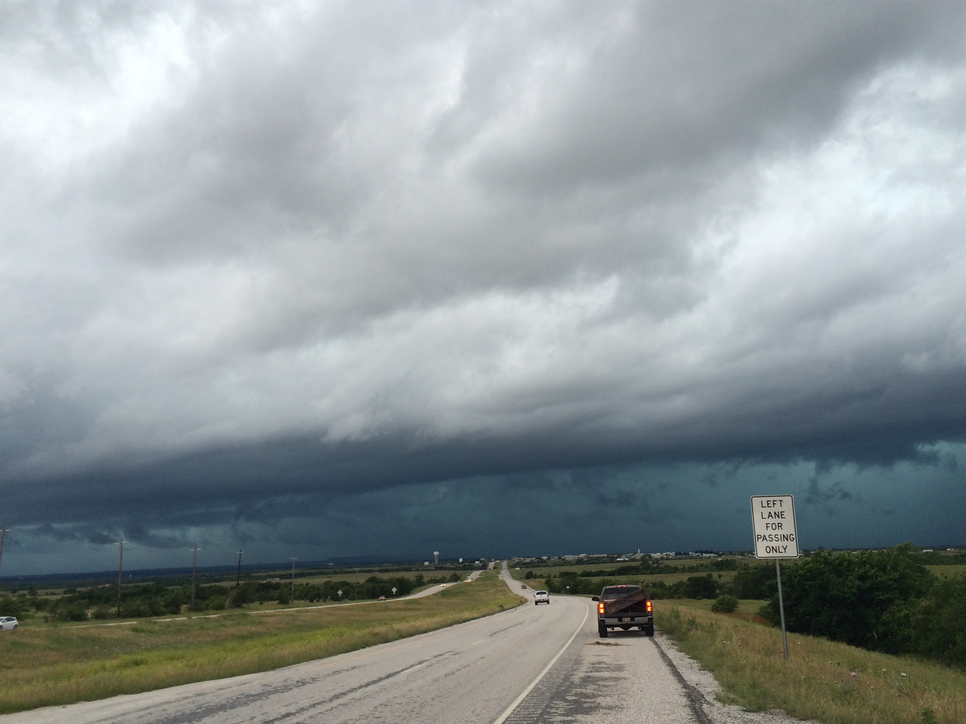
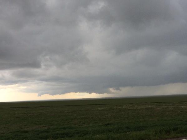
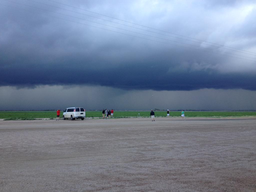
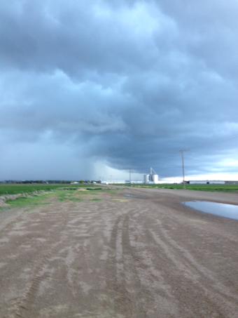
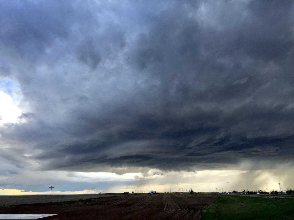
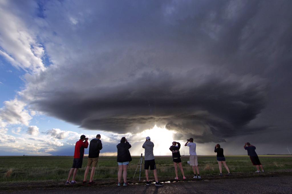
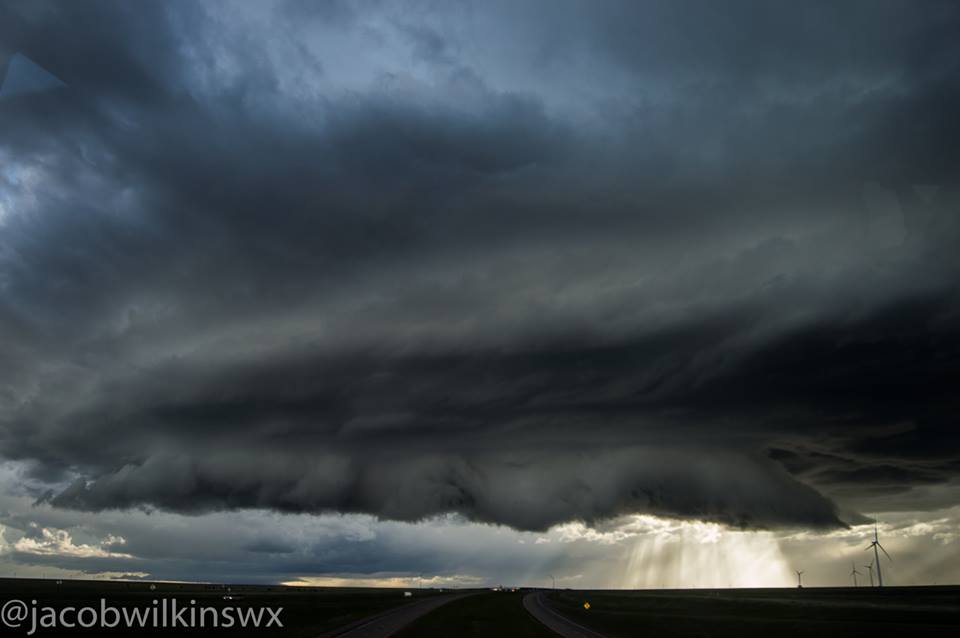
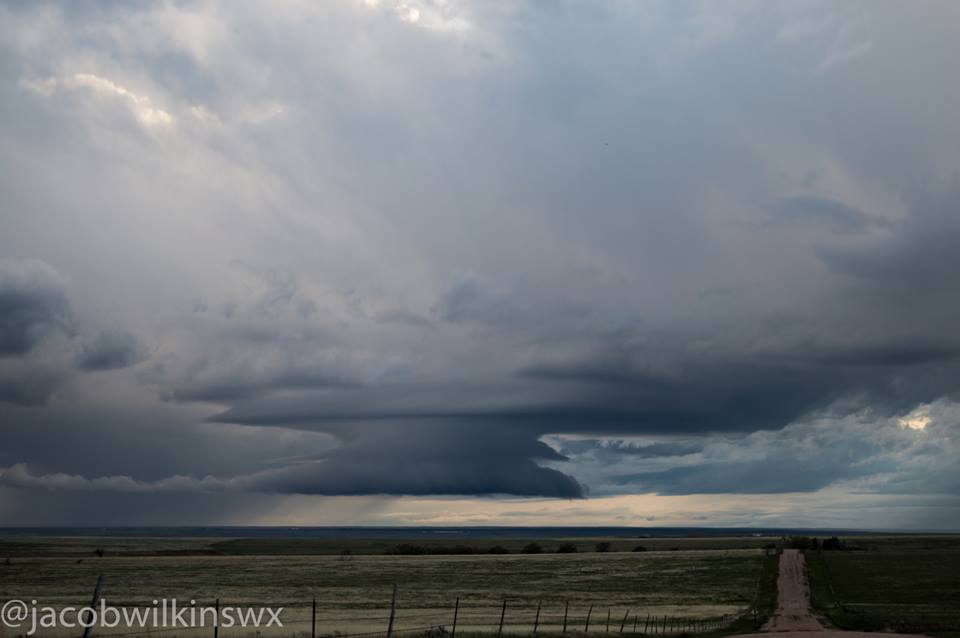
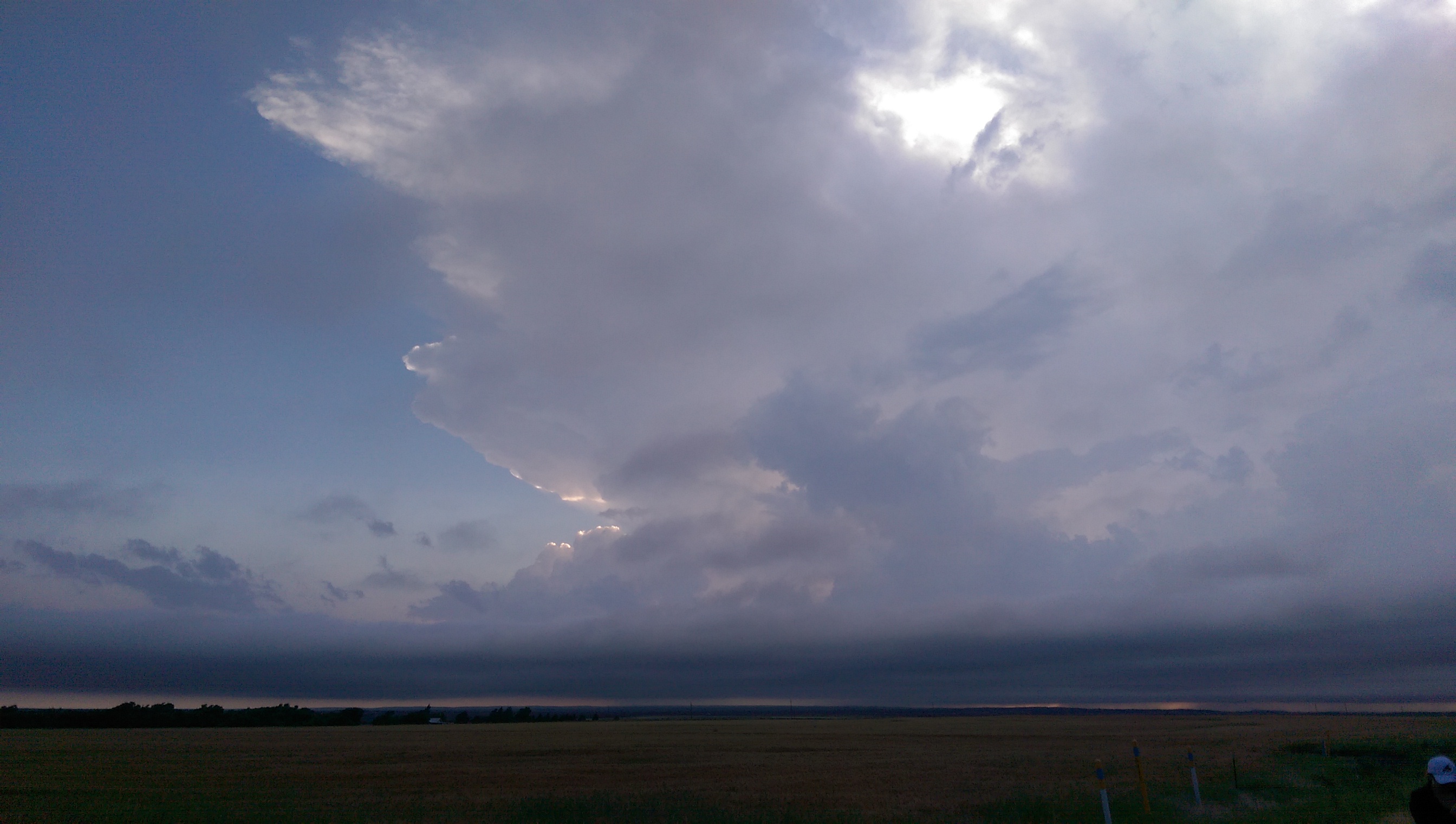
We then departed for the southern end of a line segment to chase a storm near Dalhart, TX. As we approached the storm, we saw a great whale’s mouth cloud formation, as well as a shelf cloud. This storm produced a brief wall cloud, as well as a photogenic, sunlit hail shaft.
Whale’s Mouth

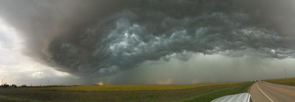
Shelf Cloud

Backlit Wall Cloud

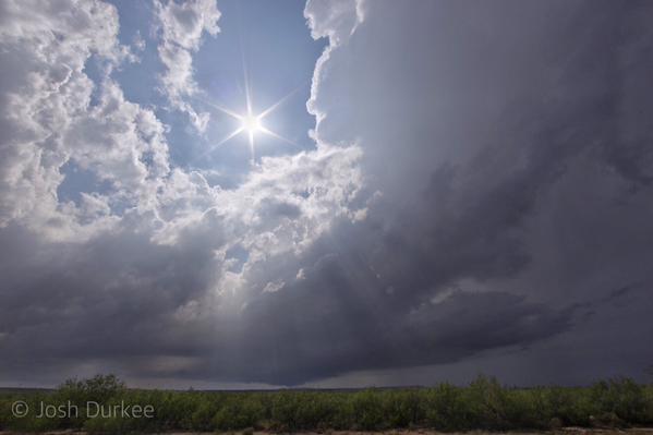
Sun Rays Peaking Through Clouds
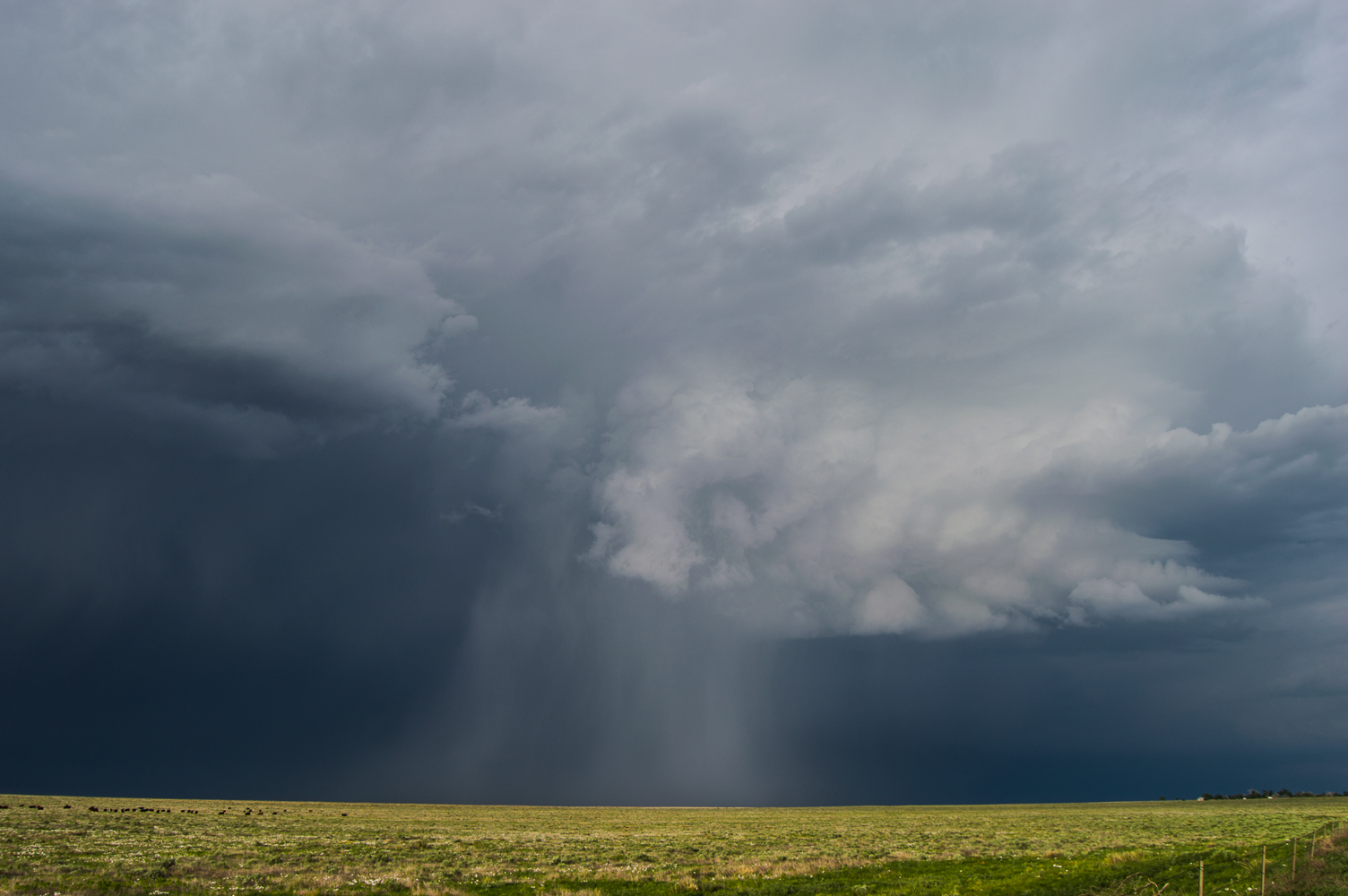
Hail Shaft
Dissipating Hail Shaft
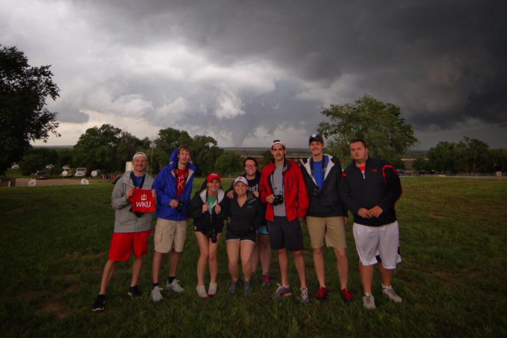
We are staying the night in Dumas, TX and will likely be chasing in western Texas once again on Friday.